Piton Armand, Volcanic summit in Saint-Benoît, Réunion, France.
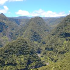
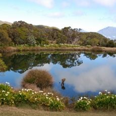
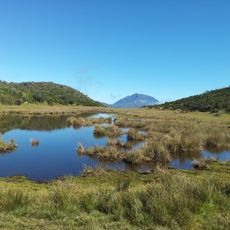
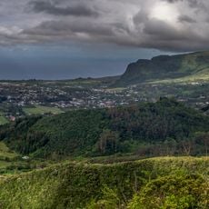
Piton Armand, also called piton de Sainte-Anne, is a summit about 150 metres high that reaches 535 metres above sea level in the Hauts of the Sainte-Anne locality, in the commune of Saint-Benoît on Réunion's eastern side. Its broad, rounded top is covered in dense dark-green trees and shrubs, with no bare rock or volcanic material visible on the slopes; a grassy field lies below, where deer stand.
The sources record no colonial surveying expedition or naming date for Piton Armand; the summit is documented only as a 535-metre peak in the Hauts of the Sainte-Anne locality, in Saint-Benoît commune, and also called piton de Sainte-Anne. Its second name ties it to that locality rather than to any dated cartographic campaign.
The peak is also called piton de Sainte-Anne, after the lieu-dit of Sainte-Anne in the Hauts where it stands, in the commune of Saint-Benoît. The wooded summit rises about 150 metres above the surrounding land, to 535 metres, and deer graze the grassy field at its foot.
Piton Armand stands about 8 km north of Saint-Benoît, in the Sainte-Anne locality of the island's eastern Hauts. The summit is a rounded, tree-covered rise of roughly 150 m above the surrounding land, with no marked trail or viewpoint described in the sources. The deer visible in the grassy field below the ridge are best observed from a distance.
The grassy clearing at the foot of Piton Armand, where the photograph shows several deer standing, lies in the Hauts of the Sainte-Anne locality. The summit rises about 150 metres above the surrounding land and reaches 535 metres above sea level, in the commune of Saint-Benoît.
The community of curious travelers
AroundUs brings together thousands of curated places, local tips, and hidden gems, enriched daily by 93,903 contributors worldwide.