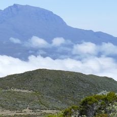
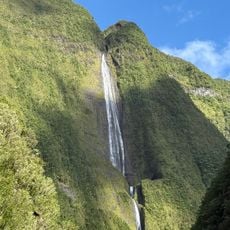
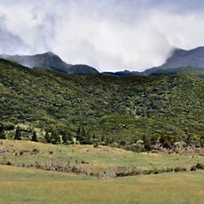
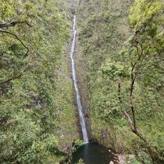
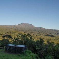
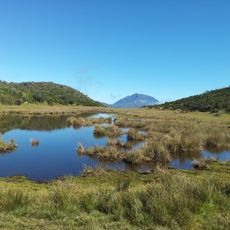
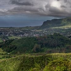
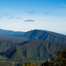
Takamaka, Réunion, Canyon in Saint-Benoît, Réunion Island, France.
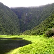
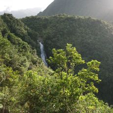
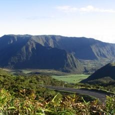
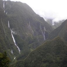
Takamaka is a deep V-shaped canyon in Saint-Benoît, on Réunion's east side, cut into steep slopes covered in dense dark-green vegetation. Its walls drop to a shadowed, rocky stream bed, and near the lower centre a thin white waterfall falls over dark rock into a small pool. The valley marks the western limit of the Bébour forest, with Piton Dorseuil rising to 729 m in its centre.
The name Takamaka comes from the Nahuatl word tacamahac, for a plant resin or the tree yielding it, brought to Mauritius by Portuguese navigators. In Réunion the name marks the enclosed valley in the east of the island, on the territory of Saint-Benoît, where the Takamaka I and Takamaka II hydroelectric dams were built. The ravine of Takamaka runs through the same valley, and a quarter of Saint-Philippe and a 931 m peak also carry the name.
The canyon draws experienced canyoners who come to test themselves against its technical sections and water passages. Visitors experience the raw side of tropical nature, far from typical tourist routes.
Access to the Takamaka valley is from the Saint-Benoît side, near the Bébour forest; the canyon lies below the Piton Dorseuil (729 m) and the ridge toward the Deux Mamelles. The descent is technical, with rappels and water sections, so go with a qualified guide and check water levels before setting out. Allow a full day, including the forest hike back out.
Sections of primary forest remain inaccessible except to those navigating the canyon, creating a sense of genuine wilderness. The water flows directly into a reservoir lake, making the landscape feel disconnected from the surrounding area.
The community of curious travelers
AroundUs brings together thousands of curated places, local tips, and hidden gems, enriched daily by 94,658 contributors worldwide.