Piton de la Source, Summit and volcano in La Plaine-des-Palmistes, Réunion Island, France
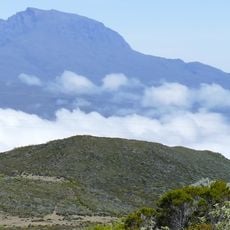
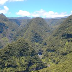
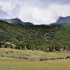
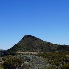
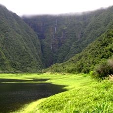
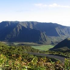
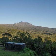
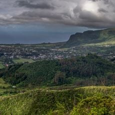
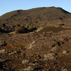
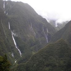
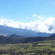
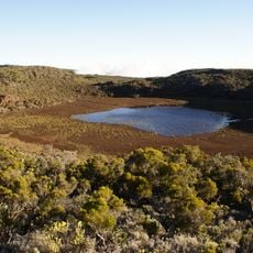
Piton de la Source is a broad, rounded mountain covered in dense green vegetation, rising to 1834 metres on the Plaine des Cafres plateau, on the boundary between Le Tampon and La Plaine-des-Palmistes. It lies within Réunion National Park, is bordered to the south by the Grande Montée shooting range, and is eroded by many small streams running down its slopes. The sources Reilhac lie at its foot.
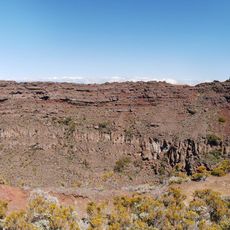
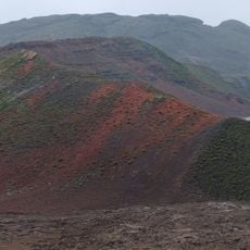
The mountain formed through a series of volcanic eruptions and became part of the larger Piton de la Fournaise massif that shaped Réunion's eastern region. Its volcanic origin reflects the island's active geological past.
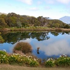
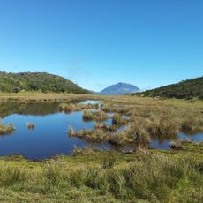
The name comes from the sources Reilhac at the foot of the mountain, not from any summit lake. The summit rises on the Plaine des Cafres plateau, straddling the land of Le Tampon and La Plaine-des-Palmistes, and lies within Réunion National Park. Small streams run down its slopes and erode them.
The summit lies on the Plaine des Cafres plateau, on the boundary between Le Tampon and La Plaine-des-Palmistes, inside Réunion National Park. The southern edge borders the Grande Montée shooting range, so check access before setting out. Numerous small streams cut across the slopes, and the Reilhac springs rise at the foot of the mountain.
The name comes from the Reilhac springs at the foot of the mountain, not from any lake: no summit lake exists. The summit rises to 1,834 m on the Plaine des Cafres plateau, straddling the communes of Le Tampon and La Plaine-des-Palmistes, and is bordered to the south by the Grande Montée shooting range.
The community of curious travelers
AroundUs brings together thousands of curated places, local tips, and hidden gems, enriched daily by 94,157 contributors worldwide.