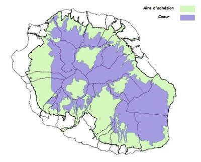
Réunion National Park, National park in Reunion Island, France
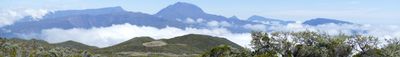
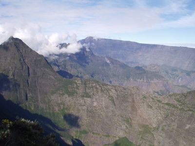
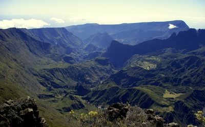
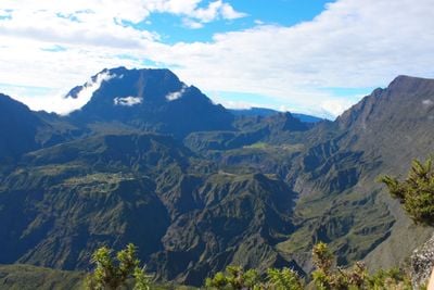
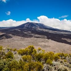
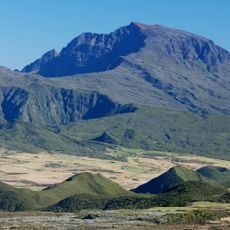
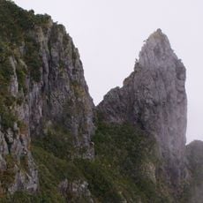
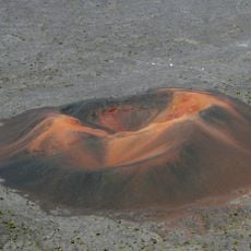
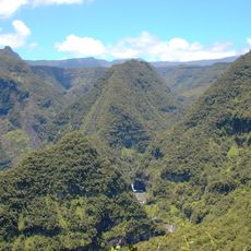
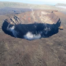
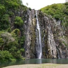
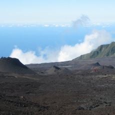
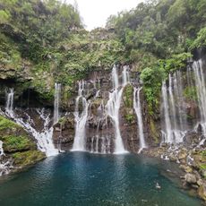
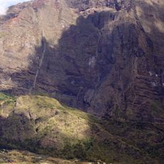
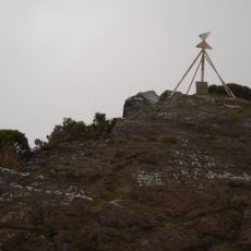
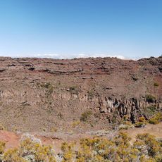
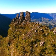
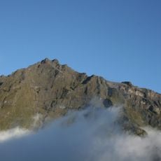
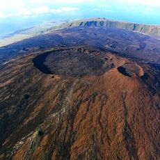
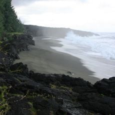
Réunion National Park spans over 100,000 hectares and includes three large mountain cirques named Mafate, Salazie, and Cilaos along with the active Piton de la Fournaise volcano. The landscape is marked by dramatic elevation changes, steep slopes covered in vegetation, and several peaks, with Piton des Neiges standing as the highest point.
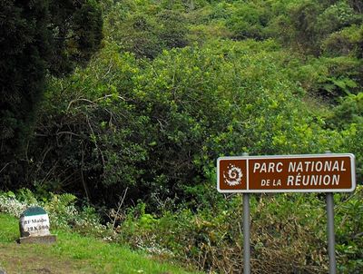
The park was established on March 5, 2007, and received UNESCO World Heritage status in 2010 for its exceptional natural formations. This recognition reflected the international significance of the site for science and conservation.
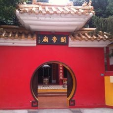
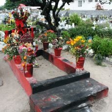
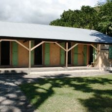
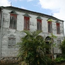
The settlements of Mafate and Salazie within the park are home to people who maintain Creole traditions in their daily lives while living alongside the protected environment. These communities show how residents have preserved their way of life across generations in this remote mountain setting.
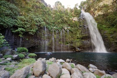
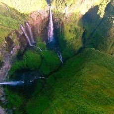
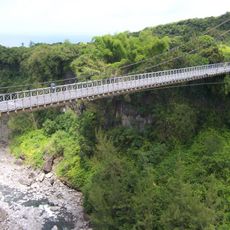
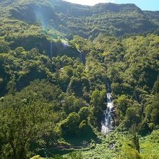
An extensive network of hiking trails connects different elevation zones and allows visitors to explore varying landscapes and climates within the park. The trails pass through areas with over 850 native plant species, so visitors should be prepared for changing weather conditions at higher altitudes.
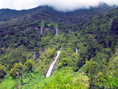
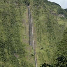
The park experiences some of the highest rainfall amounts in the world and contains the Indian Ocean's highest peak, Piton des Neiges. This mountain reaches over 3,000 meters in elevation and shapes the entire landscape structure of the park.
The community of curious travelers
AroundUs brings together thousands of curated places, local tips, and hidden gems, enriched daily by 60,000 contributors worldwide.