Piton de la Fournaise, Active volcano in Reunion Island, France
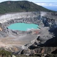
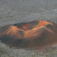
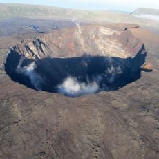
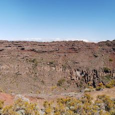
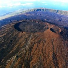
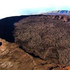
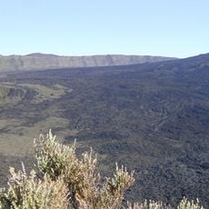
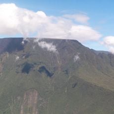
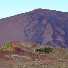
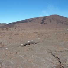
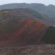
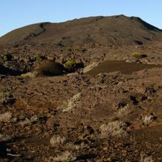
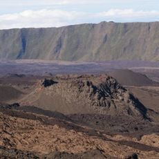
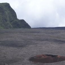
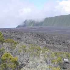
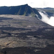
Piton de la Fournaise is a shield volcano whose summit cone, about 3 km across, rises to 2,621 m on the northern rim of Bory crater, inside the horseshoe-shaped Enclos Fouqué caldera. That caldera is roughly 13 km long and 9 km wide, ringed by 100 to 400 m cliffs called remparts and open eastward to the Indian Ocean. Two craters crown the top: Bory, 350 m by 200 m, and the wider Dolomieu, 1,000 m by 700 m, whose floor dropped 330 m in April 2007. A thick black lava flow runs down the right flank of the dark summit toward the tan lower slopes.
The volcano is over 530,000 years old and has had three caldera collapses, 250,000, 65,000 and 5,000 years ago; an explosive eruption about 4,700 years ago may have reached VEI 5. More than 150 eruptions have been recorded since the 17th century. In April 2007 the Dolomieu floor collapsed over nine days, dropping 330 m.
Residents of Réunion often call it simply le Volcan, and the name Fournaise ("furnace") refers to the incandescent lava emitted during eruptions. The summit craters carry the names of two scientists: Bory de Saint-Vincent, who mapped the flows in 1802, and Déodat de Dolomieu, a specialist in basalt.
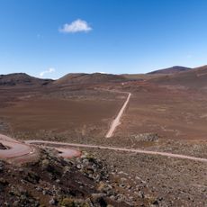
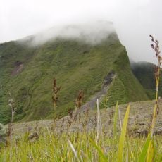
Multiple hiking trails connect to observation points around the volcano, though access becomes restricted during periods of increased seismic activity or eruptions. Weather at the summit can shift quickly and thick clouds may obscure views of the caldera within minutes.
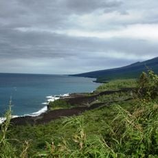
The 1977 flow that reached Piton-Sainte-Rose came from an eruption outside the Enclos Fouqué, one of only six such eruptions on record; the most recent was in 1986. The village was evacuated before the lava crossed the highway, surrounded the church and entered by the front door, where it stopped.
The community of curious travelers
AroundUs brings together thousands of curated places, local tips, and hidden gems, enriched daily by 92,757 contributors worldwide.