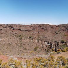
Rempart de Bellecombe, cliff in France; geonames ID = 936121
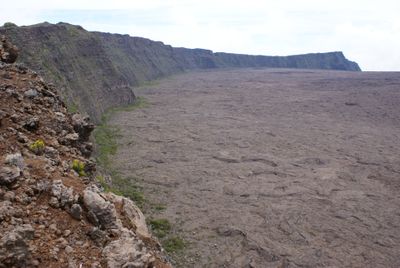
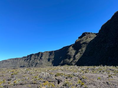
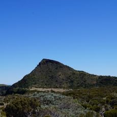
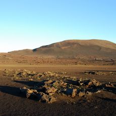
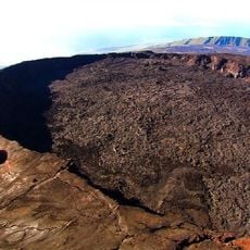
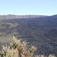
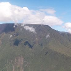
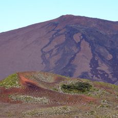
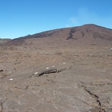
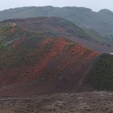
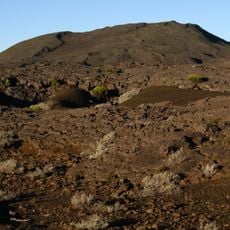
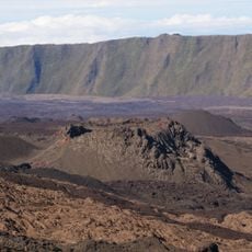
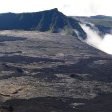
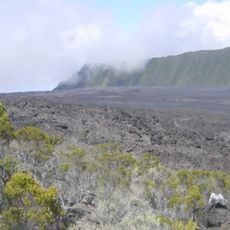
Rempart de Bellecombe is a steep cliff that stretches across the southeast portion of Reunion island and marks the edge of the Enclos Fouqué volcanic zone. The barrier rises roughly 100 meters with dark volcanic rock formations and rough textures that display the island's geological character.
The cliff is part of Reunion's volcanic region and bears signs of centuries of volcanic activity and landscape change. Governor Guillaume Léonard de Bellecombe gave the site its name during the island's early European exploration and administration period.
The site is named after Guillaume Léonard de Bellecombe, a colonial governor from the island's early exploration period. Visitors can observe how this location connects the region's past governance with its natural landscape, as the name recalls when explorers first mapped these territories.
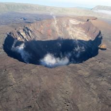
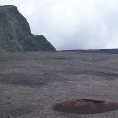
Start early in the morning to avoid clouds that often cover the crater in the afternoon. Sturdy footwear is essential since the trail crosses roots, rocks, and steep stairs, and weather can shift quickly at this elevation.
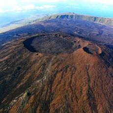
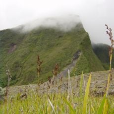
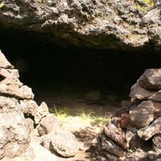
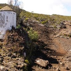
A passage called Pas de Bellecombe-Jacob cuts through the cliff and offers hikers a clear view of the surrounding landscape while serving as a gateway to hiking trails. From this point, visitors can reach notable landmarks including Formica Leo mountain and the Rosemont chapel.
The community of curious travelers
AroundUs brings together thousands of curated places, local tips, and hidden gems, enriched daily by 60,000 contributors worldwide.