Dolomieu Crater, Volcanic crater at Piton de la Fournaise, Réunion, France
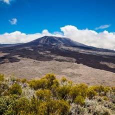
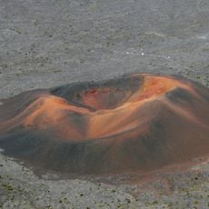
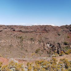
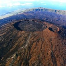
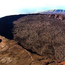
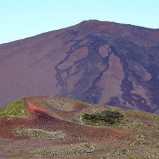
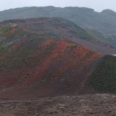
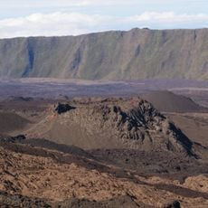
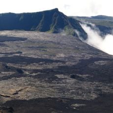
Dolomieu Crater is the main crater of Piton de la Fournaise, set in the Enclos Fouqué caldera. Since its April 2007 collapse it measures about 1,000 m long, 750 m wide and 350 m deep, with layered reddish-brown, grey and pale tan walls and a dark floor where white vapour drifts. Its rim falls from about 2,620 m at the northern junction with Bory crater to about 2,480 m at the observation viewpoint.
The crater formed in 1791 when the central cone collapsed during an explosive eruption. Alexis Bert, an artillery officer and mineralogist, made the first description after climbing to the summit in late October 1791. In 1801 Jean-Baptiste Bory de Saint-Vincent named it after his former teacher at the Paris School of Mines, Déodat Gratet de Dolomieu. On 2 April 2007 the crater floor collapsed by about 300 metres.
The crater is named after Déodat Gratet de Dolomieu, a French geologist and mineralogist who specialised in basalt and taught at the Paris mining school. Jean-Baptiste Bory de Saint-Vincent gave the name in 1801 after learning of his former teacher's death. The first description of the new crater was made by artillery officer and mineralogist Alexis Bert, who climbed to the summit alone in late October 1791.
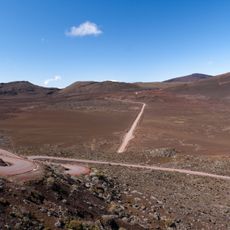
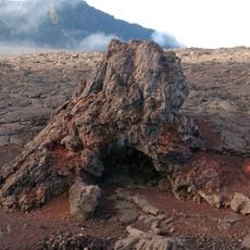
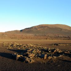
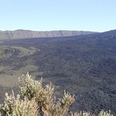
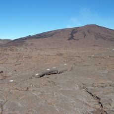
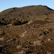
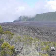
Access is on foot via a walking trail that should be started early in the morning to explore the site in good daylight. Sturdy shoes and water supplies are important, as the paths cross black lava fields and the ground becomes very hot in the sun.
The crater walls display distinct layers of solidified lava flows that stand out through different colorations. This geological layering tells the story of hundreds of years of repeated volcanic activity at this location.
The community of curious travelers
AroundUs brings together thousands of curated places, local tips, and hidden gems, enriched daily by 93,093 contributors worldwide.