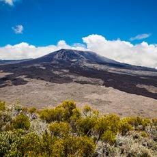
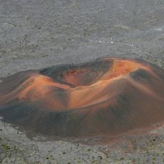
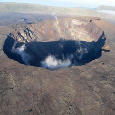
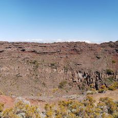
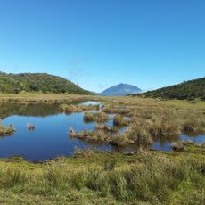
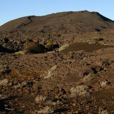
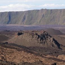
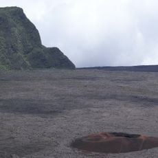
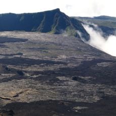
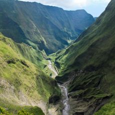
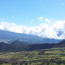
Demi-Piton, Mountain summit in Réunion Island, France.
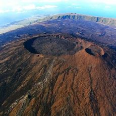
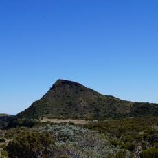
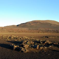
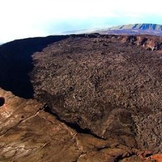
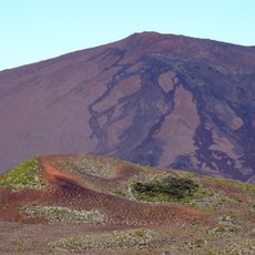
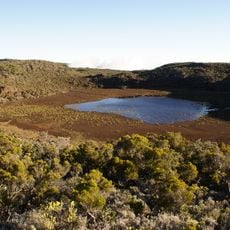
Demi-Piton is a mountain summit on Reunion Island that rises to approximately 2,400 meters and displays a crescent shape. The peak consists of volcanic rock including oceanites and olivine basalts and sits within the Piton de la Fournaise massif.
Jean-Baptiste Bory de Saint-Vincent first recorded the cone as "Cratère de Cirque", later written "Cratère du Cirque", on his survey plates. The 1958 map of the Institut national de l'information géographique et forestière labelled it "Piton de Haüy ou Demi Piton", and current maps keep only "Demi-Piton". In 2005 the conseil régional de La Réunion considered the site for a hillside reservoir supplying one of its geothermal exploration boreholes.
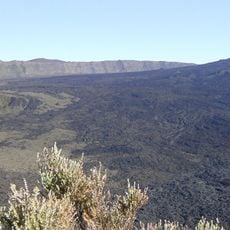
The name shifted across maps: Bory de Saint-Vincent's plans label it "Cratère de Cirque", the 1958 IGN map gives "Piton de Haüy ou Demi Piton", and current maps settle on "Demi-Piton". Walkers on the GR R2 cross the col Lacroix, the pass it forms with piton Haüy, between the plaine des Sables and the Enclos Fouqué.
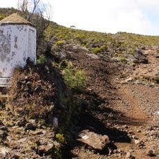
The mountain can be reached via the GR R2 hiking trail, which connects to a forest road leading toward Bellecombe-Jacob pass. Hikers should prepare for changing weather conditions and steep, varied terrain throughout the journey.
The layer of Bellecombe Ashes at the base of Demi-Piton was left by the collapse of the Enclos Fouqué 4,700 years ago. The cone itself stands only about fifty metres high, yet it reaches 2,395 metres in altitude, and with piton Haüy it frames col Lacroix, where the GR R2 passes.
The community of curious travelers
AroundUs brings together thousands of curated places, local tips, and hidden gems, enriched daily by 94,420 contributors worldwide.