
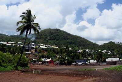
Bandrele, commune in Mayotte, France
Location: canton of Bandrélé
Location: Mayotte
Inception: March 31, 2011
Elevation above the sea: 384 m
Shares border with: Chirongui, Dembeni, Kani-Kéli
Phone: +33269621981
Email: maire@bandrele.yt
Website: https://bandrele.yt
GPS coordinates: -12.90889,45.19444
Latest update: June 10, 2025 05:51
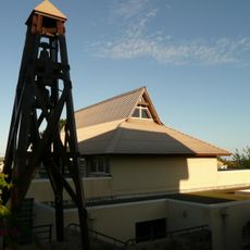
Our Lady of Fatima Church, Mamoudzou
14.9 km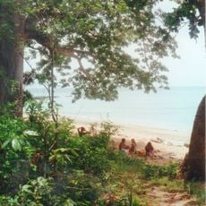
Parc marin de Saziley
6.5 km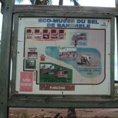
Bandrélé Ecomuseum
432 m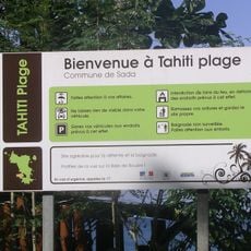
Tahiti plage
9.8 km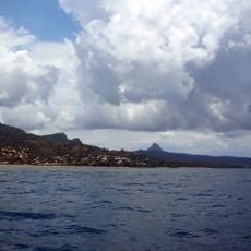
Baie de Bouéni
8.5 km
Réserve naturelle nationale de l'îlot Mbouzi
12 km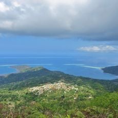
Canton of Kani-Kéli
10.5 km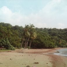
Musicale Plage
1.5 km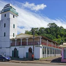
Mosquée de Mtsapéré
13.9 km
Mtsanga Mounyambani
4.8 km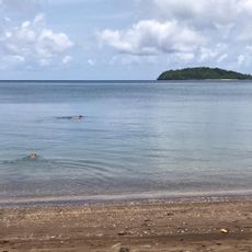
Mtsanga Milouani
4.5 km
Mtsanga Dzienguizi
8.8 km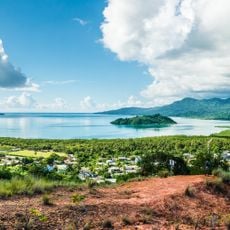
Padza de Chirongui
5.8 km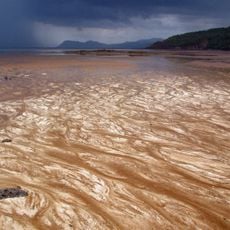
Plage de Sohoa
14.1 km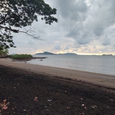
Mtsanga Iloni
6.8 km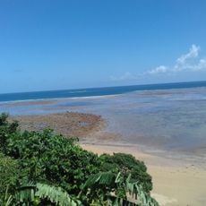
Mtsanga Mtiti
12.7 km
Mtsanga Momoni
11.2 km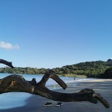
Mtsanga Kanoua
10.3 km
Sakouli Beach
3.1 km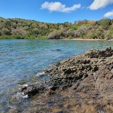
Plage de la Bonne Marée
6.1 km
Mtsanga Saziley
8.5 km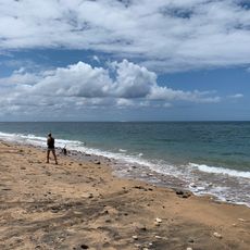
Mtsanga Kolo Batsoumou
8.4 km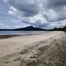
Mtsanga Mtiti
10.7 km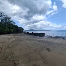
Mtsanga Sazilé
7.4 km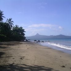
Tahiti Beach
10 km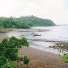
Hamouro Beach
4 km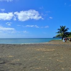
Moudou Beach
7.8 km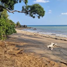
Mtsanga Boundrouni
12.2 kmVisited this place? Tap the stars to rate it and share your experience / photos with the community! Try now! You can cancel it anytime.
Discover hidden gems everywhere you go!
From secret cafés to breathtaking viewpoints, skip the crowded tourist spots and find places that match your style. Our app makes it easy with voice search, smart filtering, route optimization, and insider tips from travelers worldwide. Download now for the complete mobile experience.

A unique approach to discovering new places❞
— Le Figaro
All the places worth exploring❞
— France Info
A tailor-made excursion in just a few clicks❞
— 20 Minutes