Darling Scarp, Mountain range and escarpment near Perth, Australia
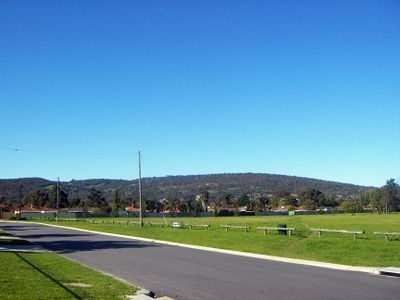
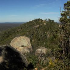
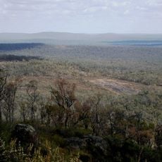
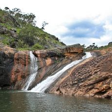
The Darling Scarp is a long ridge that stretches about 200 kilometers from north to south, with elevations ranging between 150 and 582 meters. The escarpment clearly separates the flat coastal plain from the higher land behind it, showing different rock formations along its length.
The feature was named in 1827 by Charles Fraser, who called it after the Governor of the New South Wales colony at that time. It became an important landmark as European exploration and settlement expanded across the region.
The Noongar people have maintained deep connections to this land for thousands of years, and their stories shape how the landscape is understood today. The slopes were traditionally important gathering places and held spiritual significance.
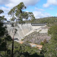
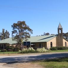
The area is easiest to reach from the towns of Kalamunda and Mundaring, which serve as starting points for walks and hikes. Multiple viewpoints and visitor centers are spread across various national parks, so planning for longer day trips or multiple visits works best.
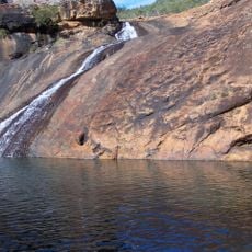
The Darling Fault is a geological break running beneath the surface that separates different layers of earth. This fracture creates the visible ridge and shows where the earth's crust has shifted along a major break.
The community of curious travelers
AroundUs brings together thousands of curated places, local tips, and hidden gems, enriched daily by 60,000 contributors worldwide.