Mount Dale, Summit in Western Australia, Australia
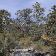
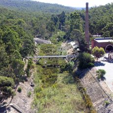
Mount Dale is a 546-metre summit in the Shire of Beverley, Western Australia, about 25 km east of Armadale and one of the highest points of the Darling Scarp. Its slopes carry jarrah forest, and the Bibbulmun Track climbs from a parking and picnic area through 500 m of that forest to the top.
The summit takes its name from Robert Dale, an early European explorer who investigated the Darling Scarp region in the 1820s. This naming reflects the area's role in the early European exploration of Western Australia.
The mountain functions as part of the Bibbulmun Track network, connecting multiple sections through the forest landscapes of Western Australia.
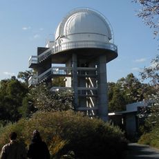
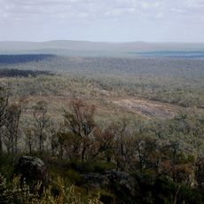
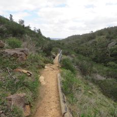
The walking track starts from a parking and picnic area below the peak and climbs through about 500 m of jarrah forest to the summit. The best panorama is from that parking area, since the communications tower on top blocks the full 360° view. The nearest larger town is Karragullen, about 16 km west.
The summit's 360-degree panorama is now partly blocked by a communications tower, but the footings of the old fire lookout and its equipment remain among the undergrowth. A full view is still available from the parking area just below the peak.
The community of curious travelers
AroundUs brings together thousands of curated places, local tips, and hidden gems, enriched daily by 94,794 contributors worldwide.