Forrest, former railway settlement in Western Australia
Location: City Of Kalgoorlie-Boulder
GPS coordinates: -30.84810,128.10901
Latest update: November 18, 2025 12:19
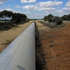
Goldfields Water Supply Scheme
663.4 km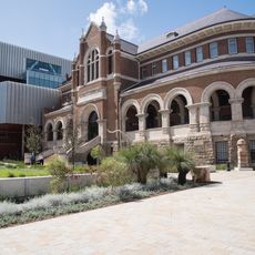
Western Australian Museum Boola Bardip
634.1 km
Mount Woodroffe
616.8 km
Koonalda Cave
179.9 km
Mundrabilla
53.9 km
Surveyor Generals Corner
546.9 km
Eyre Bird Observatory
231.5 km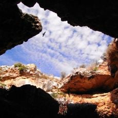
Murrawijinie Cave
270.2 km
Esperance Stonehenge
658.7 km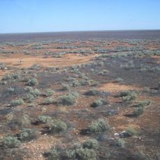
Nullarbor National Park
141 km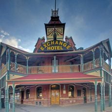
Exchange Hotel
634.4 km
Great Australian Bight Marine National Park
249 km
Cactus Beach
482.7 km
Abrakurrie Cave
97.1 km
Peak Charles National Park
700.2 km
York Hotel
634.6 km
Acraman Creek Conservation Park
590.5 km
Eyre Telegraph Station
230.7 km
Nuytsland Nature Reserve
387.7 km
Tjunti
661.4 km
Recherche Archipelago Nature Reserve
587 km
Eucla National Park
123.3 km
Tallaringa Conservation Park
561.8 km
Yellabinna Regional Reserve
506.8 km
Goongarrie National Park
641.2 km
Ilkulka Community
281.4 km
Queen Victoria Spring Nature Reserve
442.5 km
Fowlers Bay Conservation Park
425.2 kmReviews
Visited this place? Tap the stars to rate it and share your experience / photos with the community! Try now! You can cancel it anytime.
Discover hidden gems everywhere you go!
From secret cafés to breathtaking viewpoints, skip the crowded tourist spots and find places that match your style. Our app makes it easy with voice search, smart filtering, route optimization, and insider tips from travelers worldwide. Download now for the complete mobile experience.

A unique approach to discovering new places❞
— Le Figaro
All the places worth exploring❞
— France Info
A tailor-made excursion in just a few clicks❞
— 20 Minutes