
Boorowa Shire, local government area in New South Wales, Australia
Location: New South Wales
Inception: September 1, 1944
Capital city: Boorowa
Elevation above the sea: 480 m
Website: http://boorowa.nsw.gov.au
GPS coordinates: -34.43333,148.71667
Latest update: March 6, 2025 03:43

Burrinjuck Dam
64 km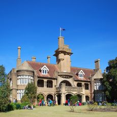
Iandra Castle
50.9 km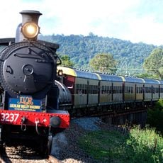
Lachlan Valley Railway
66 km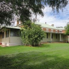
Cootamundra Domestic Training Home for Aboriginal Girls
65.7 km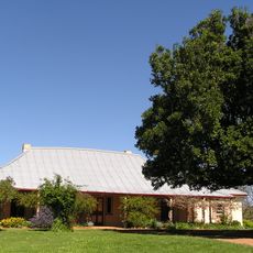
Cooma Cottage
52.3 km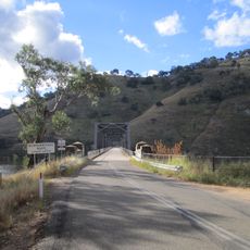
Taemas Bridge
65.2 km
Young railway station
41.4 km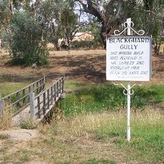
Blackguard Gully
39.5 km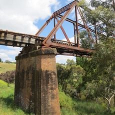
Yass River railway bridge
48.4 km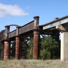
Lachlan River railway bridge, Cowra
65 km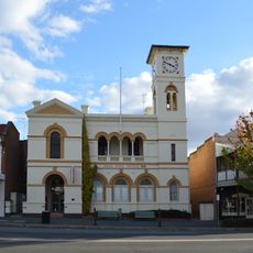
Yass Post Office
48.8 km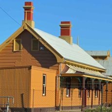
Yass Town railway station
49.2 km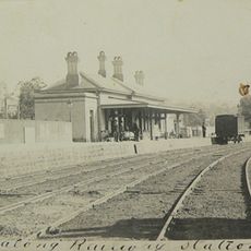
Binalong railway station and telegraph office
27.5 km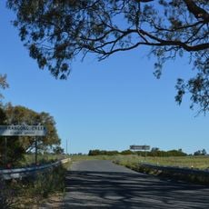
Burrangong Creek
56.4 km
City Bank building
40.8 km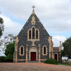
St Patrick's Catholic Church, Binalong
28.1 km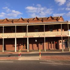
Empire Hotel, Young
41.1 km
Cooma Cottage
52.3 km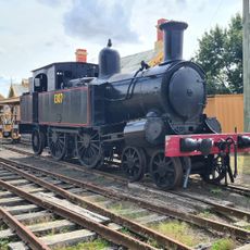
Yass Railway Museum
49.1 km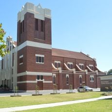
Sacred Heart Catholic Church
66.7 km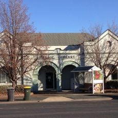
Young Library
40.7 km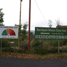
Burrinjuck State Recreation Area
61.7 km
Gunning Library
63.6 km
Hoyts Strand Theatre
41.2 km
Cootamundra Uniting Church
67.1 km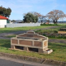
Horse Trough
65.9 km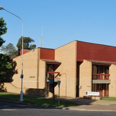
Cowra Library
66.4 km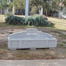
Horse trough
36 kmReviews
Visited this place? Tap the stars to rate it and share your experience / photos with the community! Try now! You can cancel it anytime.
Discover hidden gems everywhere you go!
From secret cafés to breathtaking viewpoints, skip the crowded tourist spots and find places that match your style. Our app makes it easy with voice search, smart filtering, route optimization, and insider tips from travelers worldwide. Download now for the complete mobile experience.

A unique approach to discovering new places❞
— Le Figaro
All the places worth exploring❞
— France Info
A tailor-made excursion in just a few clicks❞
— 20 Minutes