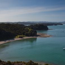
Whangaparaoa Peninsula, Coastal peninsula in Auckland Region, New Zealand
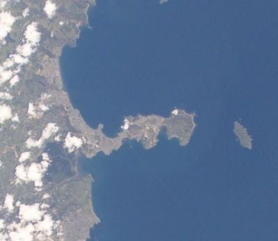
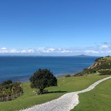
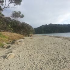
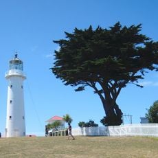
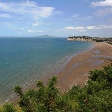
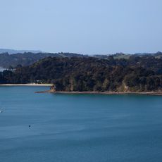
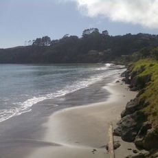
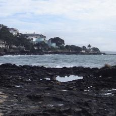
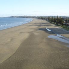
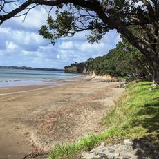
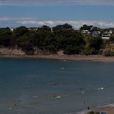
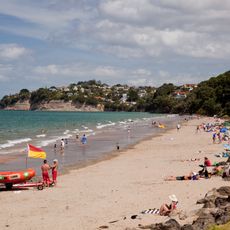
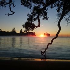
Whangaparaoa Peninsula is a stretch of land jutting into the Hauraki Gulf, offering multiple beaches, residential communities, and natural areas along its shoreline. The headland provides different vantage points and a mix of developed and more natural sections.
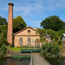
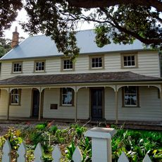
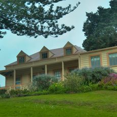
European settlers acquired the area in 1853, transforming it from Māori communities into grazing land for livestock farming. This conversion shaped the landscape and how people used the land for generations to come.
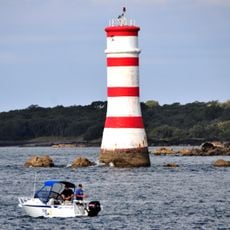
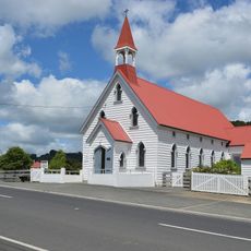
The name comes from the Māori language, meaning Bay of Whales, reflecting a deep connection to the sea and its creatures. You can sense this maritime heritage when walking along the different coastal settlements today.
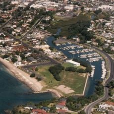
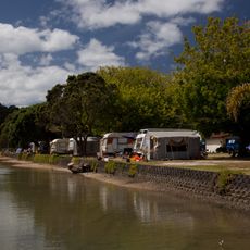
You can reach the area via Whangaparaoa Road from State Highway 1, with regular ferry service from Gulf Harbour Marina available. The route is straightforward, and parking is available in the various communities around the peninsula.
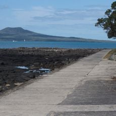
At the eastern tip sits a regional park, where a section remains under New Zealand Defence Force control. This unusual arrangement shows how protection and public access sometimes share the same space.
The community of curious travelers
AroundUs brings together thousands of curated places, local tips, and hidden gems, enriched daily by 60,000 contributors worldwide.