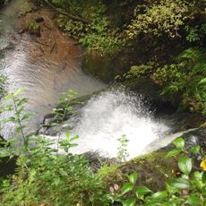
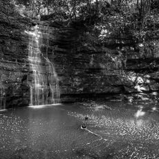
Wenderholm Regional Park, Regional park in Auckland Region, New Zealand.
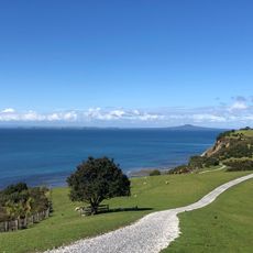
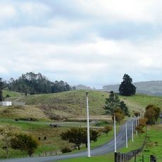
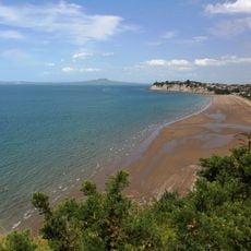
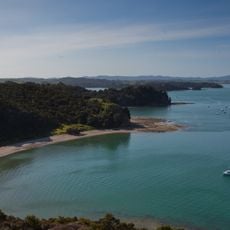
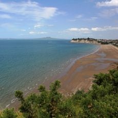
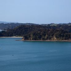
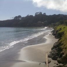
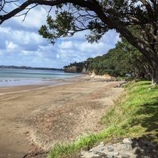
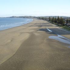
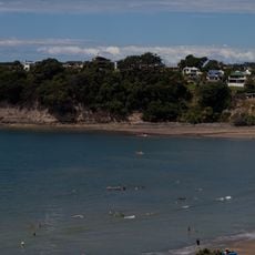
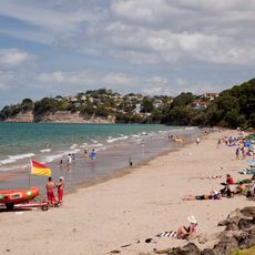
Wenderholm Regional Park covers 127 hectares on a peninsula between the Puhoi River and the Waiwera River. It has two main parts: a sandspit at the Puhoi mouth and the bush-covered Maungatauhoro headland, which rises to 122 m. The park also includes the 130 m by 70 m Mahurangi Island offshore.
The site became Auckland's first regional park in 1965 when local authorities purchased it to protect the land from being subdivided and developed. This creation established a new approach to preserving natural spaces in the region.
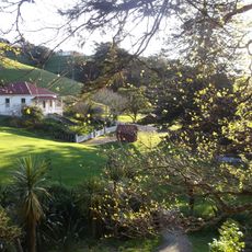
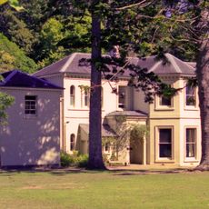
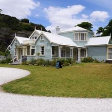
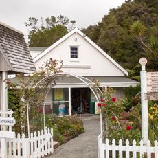
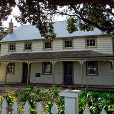
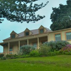
Māori knew the flat sandspit as Te Akeake and the southern headland as Maungatauhoro, part of a wider area called Te Pūhoi. The name Wenderholm was given by Robert Graham, said to be after a Swedish friend's word for 'winter home'. A carved pouwhenua stands near Couldrey House at the start of the Maungatauhoro Te Hikoi track.
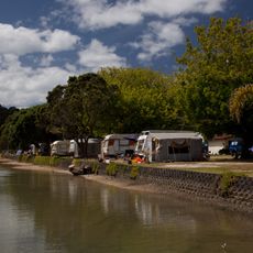
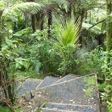
Vehicle access and picnicking are limited to 6:00–21:00 in summer and until 19:00 in winter, while pedestrians may enter year-round. The campsite sits in the bay by the Pūhoi River and usually needs booking ahead. The 2 km Maungatauhoro Te Hikoi track starts at the carved pouwhenua near Couldrey House. Access is via the Hibiscus Coast Highway (State Highway 17).
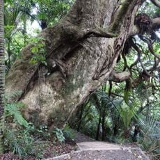
A 60-hectare section has been fenced off from livestock since 1965 as an ecological experiment, allowing forest to regenerate. North Island robins were among the first birds released there in 1999; tūī, kererū and fantails are now common. Australian kookaburras, introduced to Kawau Island in the 19th century, also turn up occasionally.
The community of curious travelers
AroundUs brings together thousands of curated places, local tips, and hidden gems, enriched daily by 93,898 contributors worldwide.