Scandrett Regional Park, Regional park in Mahurangi Peninsula, New Zealand.
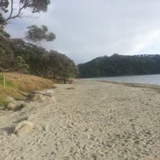
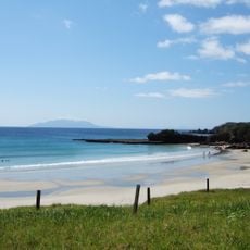
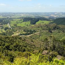
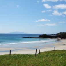
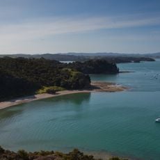
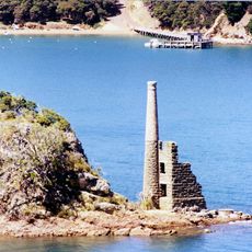
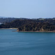
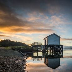
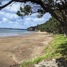
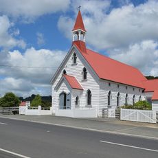
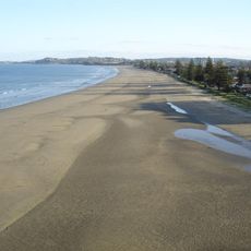
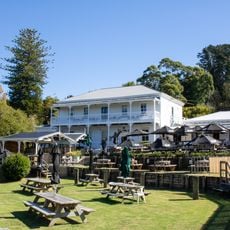
Scandrett Regional Park covers 44 hectares at the north-east tip of the Mahurangi Peninsula, north of Auckland. It takes in Mullet Point (Mātairoa), rocky headlands jutting into Kawau Bay, the beach at Scandretts Bay (Purahurawai) and a group of historic farm buildings. Auckland Council owns the park on behalf of the people of Auckland.
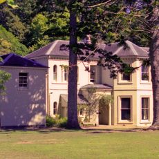
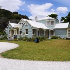
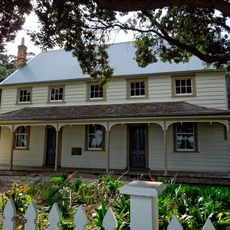
The Scandrett family bought the land in 1864 and built a concrete homestead in 1886, establishing a self-sufficient farm on the site. The family continued farming here until the late 1990s, when the property was converted into a regional park.
The Māori name Purahurawai means 'the expansive sparkling waters', while Mātairoa refers to the 'extensive sea views' from the headland pā at Mullet Point. That pā was less a defensive stronghold than a lookout over the seaways north and south and a spot for watching fish and whales. The hapū of Ngāti Manuhiri, Ngāti Rongo and Ngāti Kahu hold mana whenua here, and Ngāti Manuhiri act as kaitiaki (guardians) of the park.
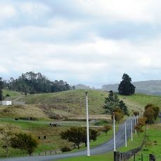
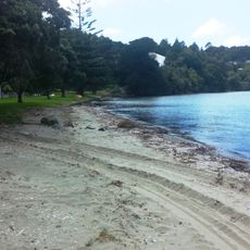
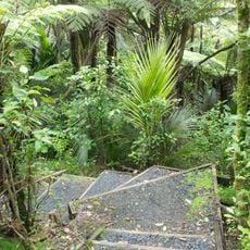
The park entrance and car park sit at the end of Scandrett Road, off the Mahurangi Peninsula's coastal road. From there, tracks lead to Scandretts Bay beach and up to Mātairoa/Mullet Point, where earthworks of the headland pā are faint after years of farming. The beach and rocky shore are the main orientation points; the historic farm buildings stand behind the bay.
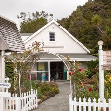
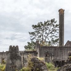
The preserved farm buildings from the 1880s demonstrate early concrete construction and colonial-era agricultural methods in New Zealand. These visible structures tell the story of how a family lived and worked here for over a century.
The community of curious travelers
AroundUs brings together thousands of curated places, local tips, and hidden gems, enriched daily by 94,359 contributors worldwide.