Navassa Island National Wildlife Refuge, National wildlife refuge in the Caribbean Sea between Haiti and Jamaica
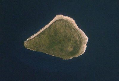
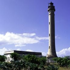
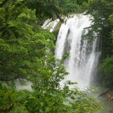
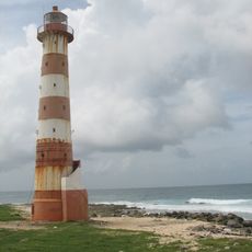
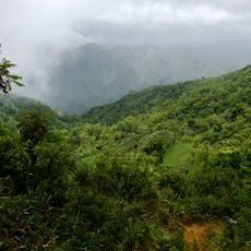
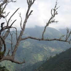
Navassa Island National Wildlife Refuge is a remote protected area in the Caribbean Sea positioned between Haiti and Jamaica. The island rises dramatically from the water with steep limestone cliffs creating a rocky, undeveloped landscape.
The territory was claimed by the United States in 1857 and subsequently used for phosphate mining through the 1800s. Following the end of extraction, the site was gradually protected as a wildlife refuge.
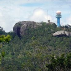
The refuge maintains scientific research stations where experts study over 600 terrestrial species and document the island's ecological systems.
Access to this island is not available for regular visitors and requires special permission from the U.S. Fish and Wildlife Service. The rough coastline and conservation regulations make visitation essentially restricted to authorized research activities.
The island houses 5,000 nesting red-footed boobies and contains multiple endemic lizard species within its protected marine zone of 12 nautical miles.
Inception: 1999
Elevation above the sea: 75 m
Website: https://fws.gov/caribbean/refuges/Navassa
GPS coordinates: 18.40000,-75.00833
Latest update: December 12, 2025 17:43
Camp Delta
167.5 km
Blue and John Crow Mountains National Park
169.1 km
Baconao
159 km
Marie-Jeanne cave
97.9 km
Winifred Beach
146.7 km
Navassa Island Light
558 m
Saut-Mathurine
125.9 km
Morant Point Lighthouse
135.5 kmFolly Lighthouse
153.5 km
Grand Bois National Park
74.7 km
Somerset Falls
165 km
Deux Mamelles National Park
80.8 km
Grande Colline National Park
95.7 km
Our Lady of the Assumption Cathedral, Les Cayes
135.2 km
SS Rosario di Giorgio
139.6 km
Reach Falls
143.8 km
Anse d'Azur
95.4 km
Lyssons Beach
157.2 km
Windward Point Light
167 km
Dymes River
142.7 km
Frenchman's Cove Beach
149.2 km
Phare de l'île-à-Vache
156.3 km
Grande Cayemite Lighthouse
134.6 km
East Peak (tumoy sa bukid sa Jamaica)
170.4 km
Macca Sucker
154.8 km
Blue and John Crow Mountains
169.1 km
Drivers River
140.4 km
Priestmans River Bay
143.1 kmVisited this place? Tap the stars to rate it and share your experience / photos with the community! Try now! You can cancel it anytime.
Discover hidden gems everywhere you go!
From secret cafés to breathtaking viewpoints, skip the crowded tourist spots and find places that match your style. Our app makes it easy with voice search, smart filtering, route optimization, and insider tips from travelers worldwide. Download now for the complete mobile experience.
A unique approach to discovering new places❞
— Le Figaro
All the places worth exploring❞
— France Info
A tailor-made excursion in just a few clicks❞
— 20 Minutes