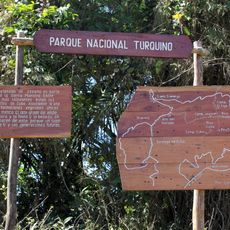
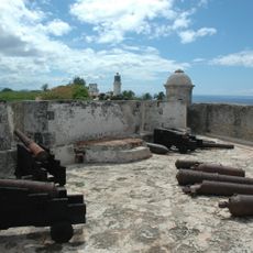
Granma Province, Administrative province in southeastern Cuba
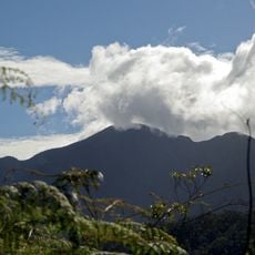
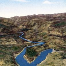
Granma is a province in southeastern Cuba with mountain ranges in its southern portion where the Sierra Maestra is located, while agricultural plains characterize the northern areas. The terrain creates two distinct zones with different features and land uses across the region.
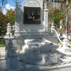
The province took its name from the Granma yacht, which brought Fidel Castro and his companions from Mexico to Cuba in 1956, marking a pivotal moment in Cuban history. This event tied the province's identity to a revolutionary beginning.
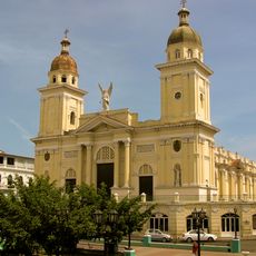
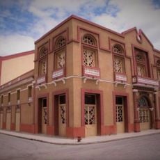
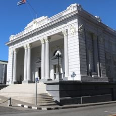
The capital Bayamo keeps the tradition of horse-drawn carriages that still move through its streets, and local performances reflect the region's musical heritage.
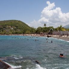
The region varies in its conditions: mountain areas require preparation for higher elevation and cooler climate, while northern plains are flatter and easier to travel. Visitors should plan different gear and timing depending on their destination within the province.
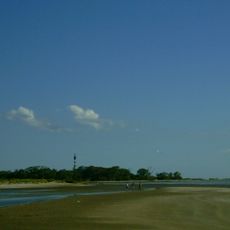
A location in the province recorded one of the highest temperatures ever measured on the island, showing how extreme weather conditions can occur in specific areas. Such records highlight the range of climate conditions found across different parts of the province.
Location: Cuba
Capital city: Bayamo, Cuba.
Shares border with: Las Tunas Province, Santiago de Cuba Province, Holguín Province
Website: http://granma.inf.cu
GPS coordinates: 20.38330,-76.65250
Latest update: December 7, 2025 20:42
Pico Turquino
47.8 km
Santa Ifigenia Cemetery
93.2 km
Castillo de San Pedro de la Roca
93.9 km
Desembarco del Granma National Park
116.6 km
Turquino National Park
47.8 km
Cathedral Basilica of Our Lady of the Assumption, Santiago de Cuba
95 km
Belic
115.1 km
Jardín de los Helechos de Santiago de Cuba
96.4 km
Río Mayarí
114.5 km
Cupaynicú
14.1 km
Teatro Manzanillo
49 km
Morro Santiago de Cuba Lighthouse
94.1 km
Punta Rasa Lighthouse
101.2 km
Pico Lora
42.9 km
Monumento a Martí
41.4 km
Museo Municipal Emilio Bacardi Moreau
95.1 km
Playa Velázquez
101.7 km
Playa de Caletona
101.6 km
Río Baire
41.2 km
Río Potrerillo
52.9 km
Pico Cuevas
50.1 km
Charco Mono reservoir
76.1 km
Río Baja
31.4 km
Laguna Santa Clara
77.3 km
Río Plata
95.1 km
Playa Siboney
109.9 km
Río Holguín
40.9 km
Embalse las Villas
31.7 kmVisited this place? Tap the stars to rate it and share your experience / photos with the community! Try now! You can cancel it anytime.
Discover hidden gems everywhere you go!
From secret cafés to breathtaking viewpoints, skip the crowded tourist spots and find places that match your style. Our app makes it easy with voice search, smart filtering, route optimization, and insider tips from travelers worldwide. Download now for the complete mobile experience.
A unique approach to discovering new places❞
— Le Figaro
All the places worth exploring❞
— France Info
A tailor-made excursion in just a few clicks❞
— 20 Minutes