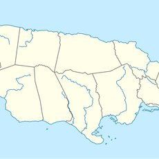
Saint Thomas Parish, Administrative division in southeastern Jamaica
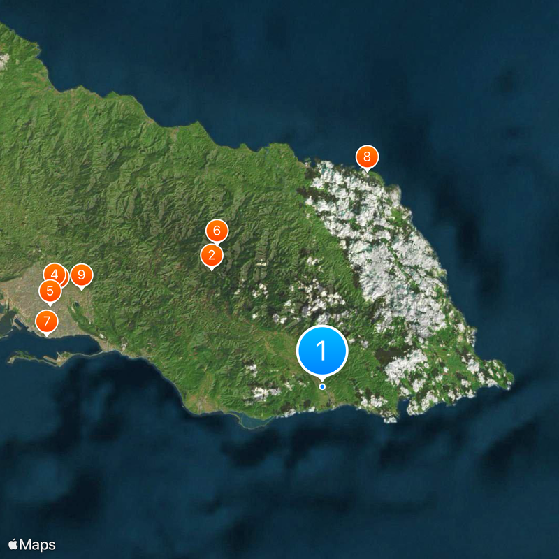
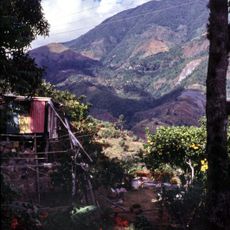
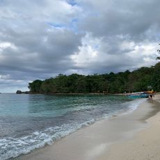
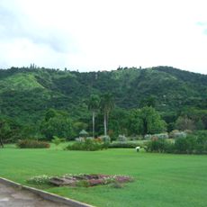
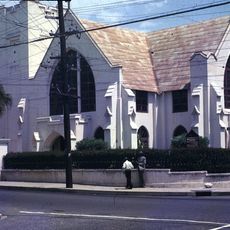
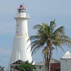
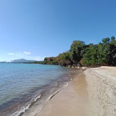
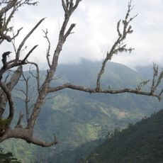
Saint Thomas Parish is an administrative region in southeastern Jamaica that extends from the Blue Mountains down to the Caribbean coast. The area features mountainous terrain, river systems, and coastal zones, with Morant Bay serving as the parish capital and main hub.
English colonial administrators established the parish in 1664 and renamed it Saint Thomas in the East by 1677 to distinguish it from other regions. This early administrative framework set the pattern for the governance structure that exists today.
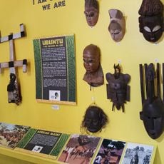
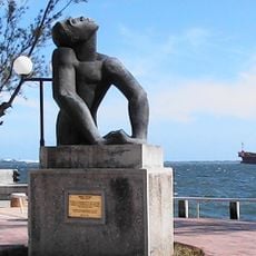
The parish carries the legacy of the Morant Bay Rebellion, a pivotal moment of resistance that shaped local identity and pride. Paul Bogle, a leader from the area, is honored as a National Hero and remains central to how people here understand their community.
Morant Bay connects to Kingston through a network of coastal roads that provide relatively straightforward travel routes. Visitors should note that the inland mountain areas have less developed roads and may require more time for navigation.
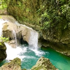
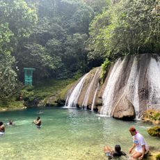
Bath Fountain, discovered in 1695, draws water from hot and cold mineral springs that have attracted visitors for generations. Many travelers overlook this natural wonder despite its long history as a place where people sought the therapeutic properties of the waters.
The community of curious travelers
AroundUs brings together thousands of curated places, local tips, and hidden gems, enriched daily by 60,000 contributors worldwide.