Santiago de Cuba Province
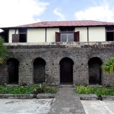
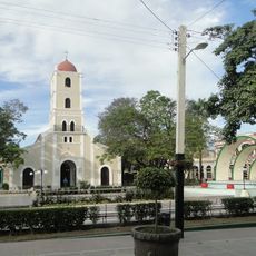
Santiago de Cuba Province, Administrative province in southeastern Cuba
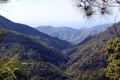
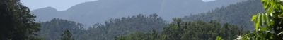
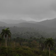
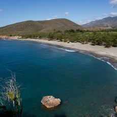
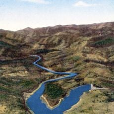
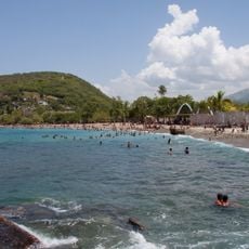
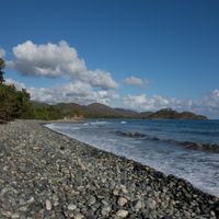
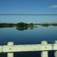
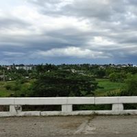
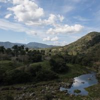
Santiago de Cuba Province occupies the southeastern portion of the island, stretching from coastal areas to the Sierra Maestra mountains. The region comprises varied terrain with lowland plains, mountain slopes, and seaside zones across multiple municipalities.
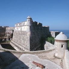
Santiago served as the first seat of Spanish colonial administration on Cuba from 1515 until 1608, before the capital moved to Havana. This period marked the start of European settlement and shaped the island's early colonial development.
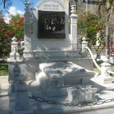
The Santa Ifigenia Cemetery holds graves of independence leaders like José Martí and Carlos Manuel de Céspedes, drawing visitors who want to connect with the people who shaped the nation.
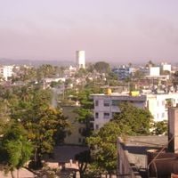
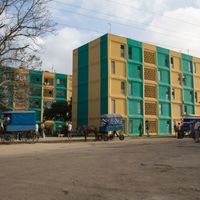
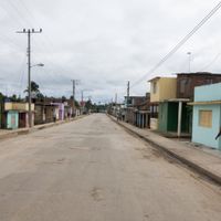
The province divides into several municipalities including Contramaestre, San Luis, and Palma Soriano, which helps with navigation. Visitors should note that mountainous areas and coastal sections offer different conditions for exploring the region.
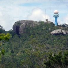
Pico Turquino, the highest peak in the province, sits near the border with neighboring regions and attracts hikers seeking mountain views. The summit offers outlooks across the region's varied landscape types.
Location: Cuba
Inception: July 3, 1976
Capital city: Santiago de Cuba
Shares border with: Guantánamo Province, Granma Province, Holguín Province
GPS coordinates: 20.01980,-75.81390
Latest update: December 7, 2025 19:23
Camp Delta
75.9 km
Santa Ifigenia Cemetery
3.3 km
Castillo de San Pedro de la Roca
8.2 km
Baconao
58.1 km
Sierra Cristal National Park
68 km
Cathedral Basilica of Our Lady of the Assumption, Santiago de Cuba
1.6 km
Archaeological Landscape of the First Coffee Plantations in the South-East of Cuba
44.2 km
St. Catherine of Ricci Cathedral, Guantánamo
65.3 km
Jardín de los Helechos de Santiago de Cuba
455 m
Windward Point Light
69.5 km
Morro Santiago de Cuba Lighthouse
8.2 km
Playa Daiquirí
21 km
Museo Municipal Emilio Bacardi Moreau
1.5 kmMonumento a Martí
67.9 kmRío Grande
78.8 kmPico Mogote
25.5 kmPlaya Verraco
28.1 kmConde Beach
66.1 kmRío Baire
68.1 kmPlaya Larga
30.7 km
Teatro Fausto
65.2 kmRío Levisa
80.1 kmRío Jaibo
44.1 km
Playa Damajayabo
18.8 kmRío Majagua
40.6 km
Charco Mono reservoir
20.6 kmEmbalse las Villas
75.1 km
Playa Siboney
13.4 kmVisited this place? Tap the stars to rate it and share your experience / photos with the community! Try now! You can cancel it anytime.
Discover hidden gems everywhere you go!
From secret cafés to breathtaking viewpoints, skip the crowded tourist spots and find places that match your style. Our app makes it easy with voice search, smart filtering, route optimization, and insider tips from travelers worldwide. Download now for the complete mobile experience.
A unique approach to discovering new places❞
— Le Figaro
All the places worth exploring❞
— France Info
A tailor-made excursion in just a few clicks❞
— 20 Minutes