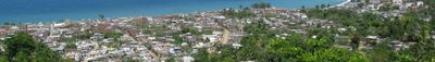
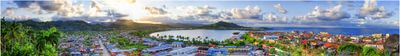
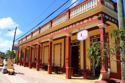
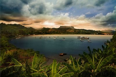
Baracoa, Colonial port city in Guantánamo Province, Cuba
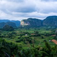
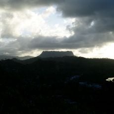
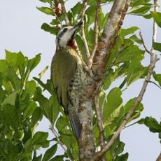
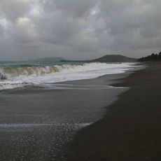
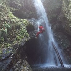
Baracoa is situated at Cuba's eastern tip and surrounded by mountains, while the Atlantic Ocean borders it to the north. The terrain is low-lying, positioned just meters above sea level, emphasizing the settlement's coastal exposure.
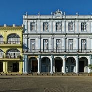
Diego Velázquez de Cuéllar founded the settlement in 1511 as Cuba's first capital. This made it the oldest Spanish establishment on the island.
The town is known for chocolate made from cacao grown in the surrounding region. Visitors can taste traditional dishes prepared with coconut milk and fresh local ingredients.
The town is accessible by bus from Santiago de Cuba or by flying into Gustavo Rizo Airport. Visitors should plan for the mountainous surroundings and limited infrastructure when organizing their trip.
The Cathedral preserves a wooden cross said to have been brought by Christopher Columbus during his first voyage. This artifact draws visitors interested in the region's early exploration history.
The community of curious travelers
AroundUs brings together thousands of curated places, local tips, and hidden gems, enriched daily by 60,000 contributors worldwide.