Chest opened
+${chestReward.xp} XP
Explorer
NOUVEAU ×${chestReward.collectible.quantity}
tapez pour fermer
Chest locked

Open chests in the app

Around Us is built for your phone — chests unlock when you walk, explore and capture nearby places.

Enable Location

We need your location to show you interesting places around you

Discover nearby places

Find interesting locations and hidden gems around you

Precise directions

Get accurate directions and distances to places

Your location is never shared with other users. It's only used when you tap the location button.

Apalachicola River

Log in to your account

Start exploring — it's free

Trusted by 72,920 travelers worldwide

Continue with Google
Continue with Apple
or

We will send you a code to connect

By continuing, you accept our Terms and Conditions and our Privacy Policy

Check your inbox

We've sent a pincode in your inbox. Please enter the code below.

Apalachicola River
Discussion Reviews 1 Photos
31.4k Popularity

Apalachicola River, River system in Florida Panhandle, United States

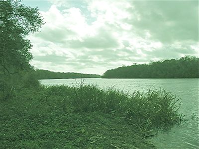
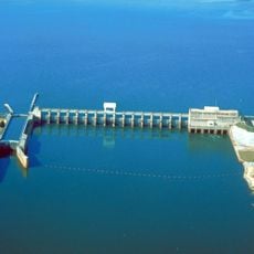
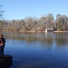
The Apalachicola River is a waterway in the Florida Panhandle that flows roughly 160 miles from Lake Seminole to the Gulf of Mexico. Extensive wetlands and forests develop along its course, defining the regional landscape.

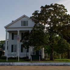
During the British colonial period, the river marked the natural boundary between East Florida and West Florida, shaping regional development and trade routes. This border role influenced the political and economic structures of adjacent areas.

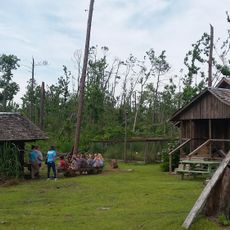
The river supports the production of tupelo honey, with beekeepers placing hives near the water to gather nectar from white tupelo trees. This local practice shapes the economy and identity of nearby communities.

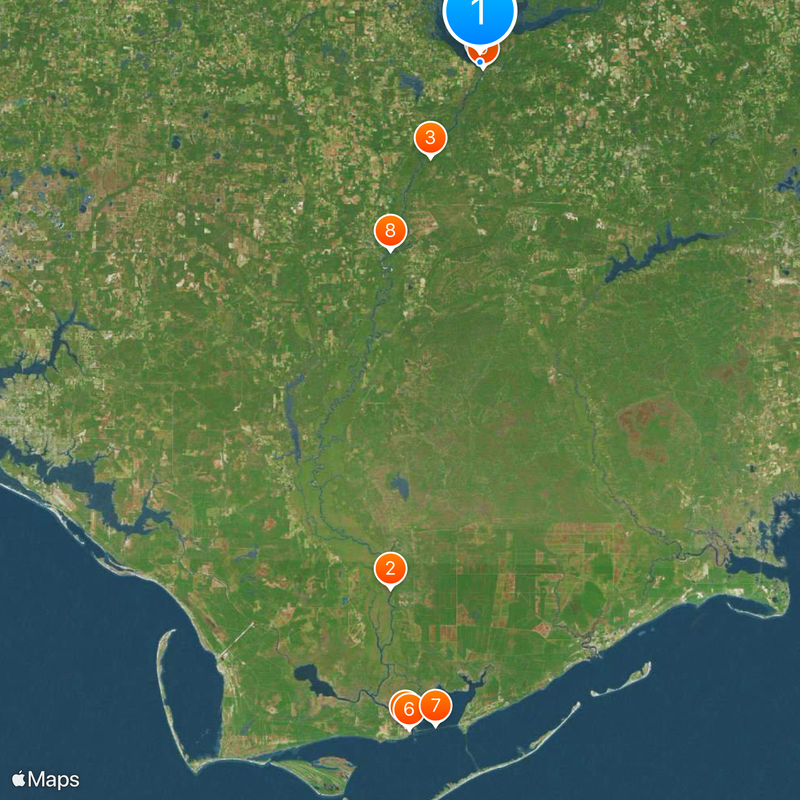
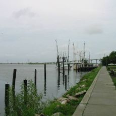
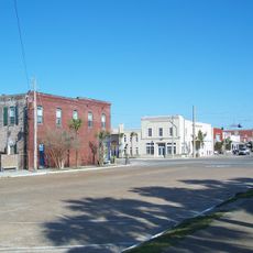
Multiple boat landings provide access at different points along the river, including facilities at Chattahoochee, Sneads, Aspalaga, and Ocheesee for water activities. Visitors should check local conditions before planning paddling or boating trips.

The river basin contains the only natural habitat of the Florida torreya tree, which grows nowhere else on earth. This rare plant makes the region a place of significant ecological interest to conservationists and scientists.

The community of curious travelers

AroundUs brings together thousands of curated places, local tips, and hidden gems, enriched daily by 60,000 contributors worldwide.

Start exploring
Location
GPS coordinates
30.70880,-84.86409
Latest update
December 20, 2025 01:22
Around this place
Fort Gadsden
United States of America

Fort Gadsden

87.6 km
Torreya State Park
United States of America

Torreya State Park

17.5 km
Jim Woodruff Dam
United States of America

Jim Woodruff Dam

29 m
Orman House
United States of America

Orman House

109.7 km
John Gorrie State Museum
United States of America

John Gorrie State Museum

110.2 km
John Gorrie Memorial Bridge
United States of America

John Gorrie Memorial Bridge

109.2 km
United States of America

Yon Mound and Village Site

34.1 km
United States of America

Victory Bridge

981 m
United States of America

Cayson Mound and Village Site

34.6 km
Trammell Bridge
United States of America

Trammell Bridge

33 km
United States of America

Pierce Site

109.9 km
Apalachicola Historic District
United States of America

Apalachicola Historic District

109.8 km
United States of America

Apalachicola River Wildlife and Environmental Area

100.6 km
Old Calhoun County Courthouse
United States of America

Old Calhoun County Courthouse

34.2 km
United States of America

Mud Swamp/New River Wilderness

72.5 km
United States of America

Apalachicola Maritime Museum

110 km
David G. Raney House
United States of America

David G. Raney House

109.8 km
United States of America

Otis Hare Archeological Site

36.1 km
Torreya State Park
United States of America

Torreya State Park

21.5 km
Panhandle Pioneer Settlement
United States of America

Panhandle Pioneer Settlement

34.5 km
Gorrie Museum
United States of America

Gorrie Museum

110.2 km
United States of America

Apalachicola River Water Management Area

69.3 km
Sand Beach
United States of America

Sand Beach

102.8 km
United States of America

Old Womans Bluff

106.1 km
United States of America

Ricko Bluff

55 km
United States of America

Alum Bluff

29.1 km
United States of America

Coconut Bluff

54.5 km
United States of America

Apalachicola National Estuarine Scientific Reserve

108.9 km
Show the full map
Reviews
Share your experience

No review yet

Discussions
Start a discussion...

No discussion yet

« Apalachicola River - River system in Florida Panhandle, United States » is provided by Around Us (aroundus.com). Images and texts are derived from Wikimedia project under a Creative Commons license. You are allowed to copy, distribute, and modify copies of this page, under the conditions set by the license, as long as this note is clearly visible.

Discover hidden gems everywhere you go!

From secret cafés to breathtaking viewpoints, skip the crowded tourist spots and find places that match your style. Our app makes it easy with voice search, smart filtering, route optimization, and insider tips from travelers worldwide. Download now for the complete mobile experience.

Around Us App Screenshot

A unique approach to discovering new places

Le Figaro

All the places worth exploring

France Info

A tailor-made excursion in just a few clicks

20 Minutes

Around Us
Travel Guide & Maps
Download

Send to your phone

QR Code
1

Open the camera app on your mobile.

2

Point at the QR code with your camera. A notification will appear.

3

Tap the notification to open the link.