Enable Location

We need your location to show you interesting places around you

Discover nearby places

Find interesting locations and hidden gems around you

Precise directions

Get accurate directions and distances to places

Your location is never shared with other users. It's only used when you tap the location button.

Fort Gadsden

Log in to your account

Start exploring — it's free

Trusted by 63,043 travelers worldwide

Continue with Google
Continue with Apple
or

We will send you a code to connect

By continuing, you accept our Terms and Conditions and our Privacy Policy

Check your inbox

We've sent a pincode in your inbox. Please enter the code below.

Discussion Reviews 1 Photos
11.7k Popularity

Fort Gadsden, Military fort in Franklin County, United States.

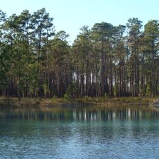
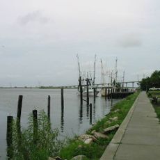
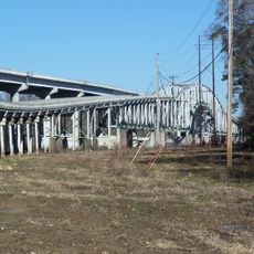
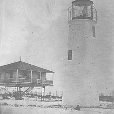
Fort Gadsden is a historic site along the Apalachicola River in Franklin County with remains of two separate fortifications built in different eras. The site shows earthen walls and foundation traces that visitors can explore along marked pathways through the forest.

British forces built the original fort during the War of 1812 to control the river region and protect their interests. Decades later, Andrew Jackson constructed a second fort at the same location in the early 1800s for his own military campaign.

The site became known as the Negro Fort when enslaved people who had escaped occupation took control of the fortification after British troops withdrew. Their presence transformed this place into a symbol of freedom and resistance for many communities.

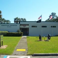
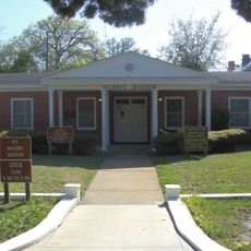
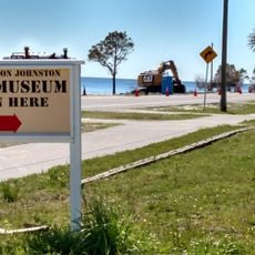
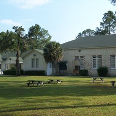
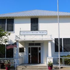
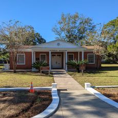
A museum building and walking trail allow you to explore the fort remains and learn about the site's history within the forest setting. Picnic facilities are available, and visiting during cooler months makes the experience more comfortable due to the humid subtropical climate.

The site preserves archaeological evidence showing how British soldiers, Native Americans, and African people interacted during this period of territorial conflict and change. These layers of history remain visible in the different remains and artifacts that have been uncovered across the grounds.

The community of curious travelers

AroundUs brings together thousands of curated places, local tips, and hidden gems, enriched daily by 60,000 contributors worldwide.

Start exploring
Location
GPS coordinates
29.93333,-85.01667
Latest update
December 7, 2025 20:49
Around this place
Apalachicola National Forest
United States of America

Apalachicola National Forest

33.5 km
St. George Island Bridge
United States of America

St. George Island Bridge

30.7 km
St. Vincent National Wildlife Refuge
United States of America

St. Vincent National Wildlife Refuge

34 km
Ochlockonee River State Park
United States of America

Ochlockonee River State Park

51.8 km
Cape St. George Light
United States of America

Cape St. George Light

38.6 km
Cape San Blas Light
United States of America

Cape San Blas Light

43.9 km
Orman House
United States of America

Orman House

22.9 km
Constitution Convention Museum State Park
United States of America

Constitution Convention Museum State Park

31.3 km
John Gorrie State Museum
United States of America

John Gorrie State Museum

23.4 km
John Gorrie Memorial Bridge
United States of America

John Gorrie Memorial Bridge

23.8 km
Crooked River Light
United States of America

Crooked River Light

32.7 km
Trammell Bridge
United States of America

Trammell Bridge

56.1 km
Camp Gordon Johnston Museum
United States of America

Camp Gordon Johnston Museum

33.3 km
Old Sopchoppy High School Gymnasium
United States of America

Old Sopchoppy High School Gymnasium

52.4 km
Apalachicola Historic District
United States of America

Apalachicola Historic District

22.9 km
Centennial Building
United States of America

Centennial Building

31.1 km
Old Gulf County Courthouse
United States of America

Old Gulf County Courthouse

26.8 km
St. Joseph Catholic Mission Church
United States of America

St. Joseph Catholic Mission Church

30.8 km
David G. Raney House
United States of America

David G. Raney House

23 km
Sopchoppy School
United States of America

Sopchoppy School

52.2 km
Mount Beasor Primitive Baptist Church
United States of America

Mount Beasor Primitive Baptist Church

51.4 km
Schmidt-Godert Farm
United States of America

Schmidt-Godert Farm

52.3 km
Port Theatre
United States of America

Port Theatre

30.8 km
Carrabelle History Museum
United States of America

Carrabelle History Museum

35.2 km
Gorrie Museum
United States of America

Gorrie Museum

23.4 km
Dog Island Light
United States of America

Dog Island Light

37.7 km
Sand Beach
United States of America

Sand Beach

20.3 km
Money Beach
United States of America

Money Beach

37.8 km
Show the full map
Reviews
Share your experience

No review yet

Discussions
Start a discussion...

No discussion yet

« Fort Gadsden - Military fort in Franklin County, United States » is provided by Around Us (aroundus.com). Images and texts are derived from Wikimedia project under a Creative Commons license. You are allowed to copy, distribute, and modify copies of this page, under the conditions set by the license, as long as this note is clearly visible.

Discover hidden gems everywhere you go!

From secret cafés to breathtaking viewpoints, skip the crowded tourist spots and find places that match your style. Our app makes it easy with voice search, smart filtering, route optimization, and insider tips from travelers worldwide. Download now for the complete mobile experience.

Around Us App Screenshot

A unique approach to discovering new places

Le Figaro

All the places worth exploring

France Info

A tailor-made excursion in just a few clicks

20 Minutes

Around Us
Travel Guide & Maps
Download

Send to your phone

QR Code
1

Open the camera app on your mobile.

2

Point at the QR code with your camera. A notification will appear.

3

Tap the notification to open the link.