Franklin County, Administrative division in Florida, United States
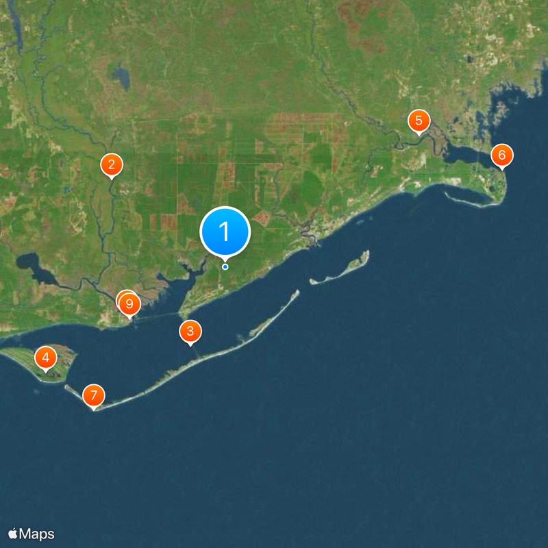
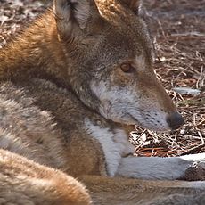
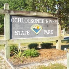
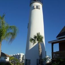
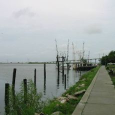
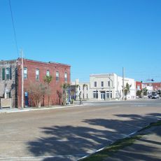
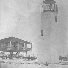
Franklin County is an administrative division along Florida's Gulf Coast, featuring a mix of coastal areas, wetlands, and rural landscapes. The region includes several islands, bays, and river deltas that create a geographically diverse area.
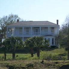
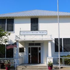
The area was originally home to indigenous peoples before European settlers arrived and shaped the development of the coastal economy. The county's establishment reflected Florida's expansion during the 19th century.
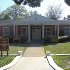
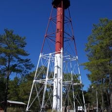
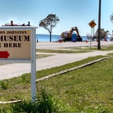
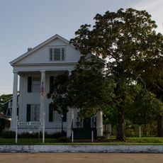
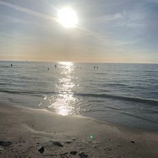
The county maintains strong connections to maritime traditions through fishing festivals, community gatherings, and events celebrating local heritage throughout the year.
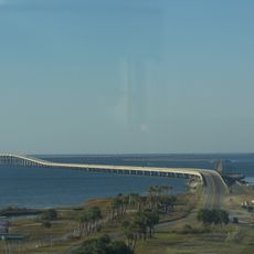
Visitors can explore the region through a network of roads and bridges connecting various coastal communities. It helps to learn about local conditions before visiting, as weather and tides can affect accessibility.
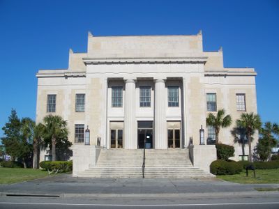
The county engineer's office manages 271 miles of roadways and 351 bridges while preserving historical maps dating from 1842 in their Records Management Office.
The community of curious travelers
AroundUs brings together thousands of curated places, local tips, and hidden gems, enriched daily by 60,000 contributors worldwide.