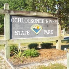
Apalachicola River Wildlife and Environmental Area, Protected wilderness area along Apalachicola River, Florida, US.
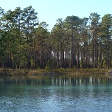
The Apalachicola River Wildlife and Environmental Area is a protected zone featuring pine forests, seasonal flood swamps, and salt marsh habitats along the river corridor. It offers roughly 100 miles of paddling routes and trails that wind through these different environments.
Indigenous peoples relied on the river and its resources for more than 12,000 years before the region was designated for modern wildlife protection. The current conservation system emerged to safeguard the habitats and species that thrive in these waters and wetlands.
The river and its wetlands serve as a hub for nature enthusiasts who regularly document wildlife through observation networks and field notes. This hands-on engagement helps visitors develop a personal connection to the ecosystem they are exploring.
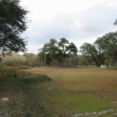
The area features basic camping sites and can be explored by foot or by boat, with paddling being the best way to navigate the channels and river system. Visitors should come prepared, as there are only primitive facilities available.
The Apalachicola Kingsnake population found here displays exceptionally wide cross-bands, a trait that developed through geographical isolation dating back to the last ice age. This adaptation serves as a compelling example of how populations evolve distinctively when separated from others.
The community of curious travelers
AroundUs brings together thousands of curated places, local tips, and hidden gems, enriched daily by 60,000 contributors worldwide.