Chest opened
+${chestReward.xp} XP
Explorer
NOUVEAU ×${chestReward.collectible.quantity}
tapez pour fermer

See the monuments around you in AR Open chests in the app

Around Us is built for your phone — point your camera at the streets and discover the monuments and places around you in augmented reality. Around Us is built for your phone — chests unlock when you walk, explore and capture nearby places.

Enable Location

We need your location to show you interesting places around you

Discover nearby places

Find interesting locations and hidden gems around you

Precise directions

Get accurate directions and distances to places

Your location is never shared with other users. It's only used when you tap the location button.

Log in to your account

Start exploring — it's free

Trusted by 86,228 travelers worldwide

Continue with Google
Continue with Apple
or

We will send you a code to connect

By continuing, you accept our Terms and Conditions and our Privacy Policy

Check your inbox

We've sent a pincode in your inbox. Please enter the code below.

Demere Key
Discussion Reviews Photo
1.3k Popularity

Demere Key, Archaeological site in Pine Island, Florida

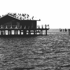
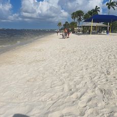
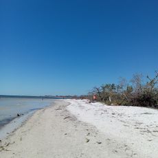
Demere Key is an archaeological site on a coastal island located west of Pine Island in Lee County, Florida. The island sits within a network of water channels and shallow bays that characterize the Gulf Coast landscape.

The island received its name from Lewis Deméré, who settled and lived there during the 1800s with his family. His occupation of the land lasted until around 1880.

The National Register of Historic Places designated Demere Key as a protected site in June 1972, recognizing its archaeological importance in Florida's heritage.

Access to the island requires proper permissions, as some areas are protected to preserve archaeological resources. Visitors should check local regulations and obtain clearance before planning a visit.

The geographical position at coordinates 26.5922497, -82.1333374 places Demere Key near multiple water channels, creating a distinct ecological environment.

The community of curious travelers

AroundUs brings together thousands of curated places, local tips, and hidden gems, enriched daily by 60,000 contributors worldwide.
Start exploring
GPS coordinates
26.59225,-82.13334
Latest update
September 12, 2026 00:39
Around this place
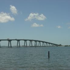
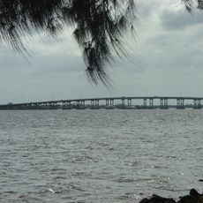
Sanibel Causeway
United States of America

Sanibel Causeway

10.4 mi
Cayo Costa State Park
United States of America

Cayo Costa State Park

8.9 mi
J.N. "Ding" Darling National Wildlife Refuge
United States of America

J.N. "Ding" Darling National Wildlife Refuge

9.5 mi
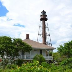
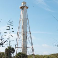
Sanibel Island Light
United States of America

Sanibel Island Light

12.1 mi
Cape Coral Bridge
United States of America

Cape Coral Bridge

12.8 mi
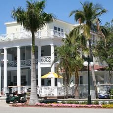
Gasparilla Inn Historic District
United States of America

Gasparilla Inn Historic District

13.6 mi
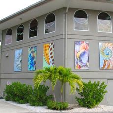
Bailey-Matthews Shell Museum
United States of America

Bailey-Matthews Shell Museum

10.7 mi
Gasparilla Island State Park
United States of America

Gasparilla Island State Park

12.6 mi
Gasperilla Island Lighthouse
United States of America

Gasperilla Island Lighthouse

13.1 mi
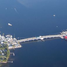
Matlacha Bridge
United States of America

Matlacha Bridge

4.9 mi
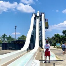
Sun Splash Family Waterpark
United States of America

Sun Splash Family Waterpark

10.2 mi
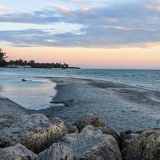
Turner Beach
United States of America

Turner Beach

8.2 mi
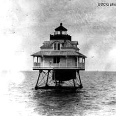
Charlotte Harbor Light
United States of America

Charlotte Harbor Light

12.7 mi
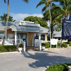
Tween Waters Inn Historic District
United States of America

Tween Waters Inn Historic District

6.7 mi
First Baptist Church of Boca Grande
United States of America

First Baptist Church of Boca Grande

13.6 mi
Downtown Boca Grande Historic District
United States of America

Downtown Boca Grande Historic District

13.5 mi
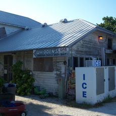
Whidden's Marina
United States of America

Whidden's Marina

13.1 mi
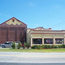
Punta Gorda Fish Company Ice House
United States of America

Punta Gorda Fish Company Ice House

5 mi
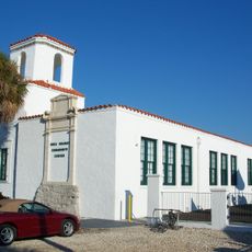
Boca Grande Community Center
United States of America

Boca Grande Community Center

13.3 mi
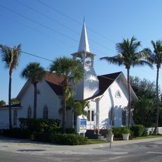
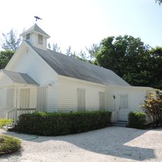
Captiva School and Chapel-by-the-Sea Historic District
United States of America

Captiva School and Chapel-by-the-Sea Historic District

6.2 mi
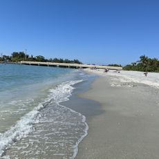
Blind Pass Beach
United States of America

Blind Pass Beach

8.2 mi
Fish Cabin at White Rock Shoals
United States of America

Fish Cabin at White Rock Shoals

3.4 mi
Halstead and Emily Lindsley House
United States of America

Halstead and Emily Lindsley House

14.1 mi
Gasparilla Golf Club
United States of America

Gasparilla Golf Club

13.5 mi
The Gasparilla Inn & Club
United States of America

The Gasparilla Inn & Club

13.6 mi
Cape Coral Yacht club beach
United States of America

Cape Coral Yacht club beach

11.8 mi
Boca Grande Lighthouse
United States of America

Boca Grande Lighthouse

11.7 mi
Bunche Beach
United States of America

Bunche Beach

13.1 mi
Show the full map
Reviews
Share your experience

No review yet

Discussions
Start a discussion...

No discussion yet

« Demere Key - Archaeological site in Pine Island, Florida » is provided by Around Us (aroundus.com). Images and texts are derived from Wikimedia project under a Creative Commons license. You are allowed to copy, distribute, and modify copies of this page, under the conditions set by the license, as long as this note is clearly visible.

Discover hidden gems everywhere you go!

From secret cafés to breathtaking viewpoints, skip the crowded tourist spots and find places that match your style. Our app makes it easy with voice search, smart filtering, route optimization, and insider tips from travelers worldwide. Download now for the complete mobile experience.
Around Us App Screenshot

A unique approach to discovering new places

Le Figaro

All the places worth exploring

France Info

A tailor-made excursion in just a few clicks

20 Minutes

Around Us
Travel Guide & Maps
Download

Send to your phone

QR Code
1

Open the camera app on your mobile.

2

Point at the QR code with your camera. A notification will appear.

3

Tap the notification to open the link.