Chest opened
+${chestReward.xp} XP
Explorer
NOUVEAU ×${chestReward.collectible.quantity}
tapez pour fermer

See the monuments around you in AR Open chests in the app

Around Us is built for your phone — point your camera at the streets and discover the monuments and places around you in augmented reality. Around Us is built for your phone — chests unlock when you walk, explore and capture nearby places.

•

Enable Location

We need your location to show you interesting places around you

Discover nearby places

Find interesting locations and hidden gems around you

Precise directions

Get accurate directions and distances to places

Your location is never shared with other users. It's only used when you tap the location button.

Steinhatchee

Log in to your account

Start exploring — it's free

Trusted by 89,883 travelers worldwide

Continue with Google
Continue with Apple
or

We will send you a code to connect

By continuing, you accept our Terms and Conditions and our Privacy Policy

Check your inbox

We've sent a pincode in your inbox. Please enter the code below.

Discussion Reviews 1 Photos
15.2k Popularity

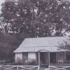
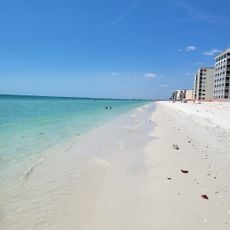
Steinhatchee, Coastal settlement in Taylor County, Florida, US.

Audio guide · About one minute
Preparing your audio guide… The audio guide could not be loaded, please retry.Sign in to listen to the audio guide

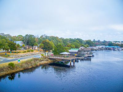
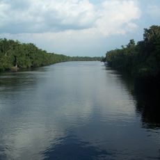
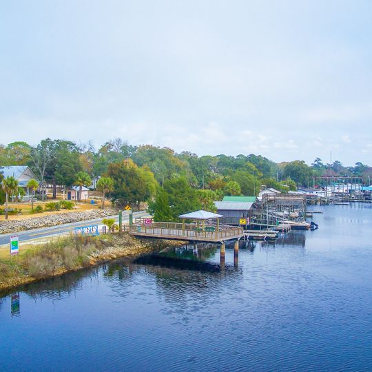
Steinhatchee is a small coastal settlement where the Steinhatchee River meets the Gulf of Mexico, with the town centered around its waterfront. The community encompasses both land and water areas, functioning primarily as a fishing port.

The settlement began in the early 1800s as a cedar harvesting center, with timber exported for pencil manufacturing. Over time, fishing became equally important to the local economy and remains significant today.

The fishing community maintains strong ties to the water, with boats and docks forming the center of daily life along the river. These maritime connections shape how residents interact with their surroundings and approach local activities.

The settlement is accessible by car and offers opportunities for boating and fishing activities. Visiting during calmer weather months provides better conditions for exploring the waterfront and outdoor activities.

This Gulf Coast location frequently experiences tropical storms, with multiple major hurricanes impacting the area within short timeframes. This exposure to extreme weather shapes local conditions and how the community adapts and recovers.

The community of curious travelers

AroundUs brings together thousands of curated places, local tips, and hidden gems, enriched daily by 60,000 contributors worldwide.
Start exploring
Location
GPS coordinates
29.67111,-83.38750
Latest update
September 12, 2026 00:45
Around this place
Manatee Springs State Park
United States of America

Manatee Springs State Park

27.7 mi
Fanning Springs State Park
United States of America

Fanning Springs State Park

27.9 mi
Lower Suwannee National Wildlife Refuge
United States of America

Lower Suwannee National Wildlife Refuge

30 mi
United States of America

Lafayette Blue Springs State Park

32.9 mi
City of Hawkinsville
United States of America

City of Hawkinsville

25.4 mi
Forest Capital Museum State Park
United States of America

Forest Capital Museum State Park

30.2 mi
Hal W. Adams Bridge
United States of America

Hal W. Adams Bridge

32.3 mi
House of the Seven Gables
United States of America

House of the Seven Gables

29.3 mi
Steinhatchee Falls
United States of America

Steinhatchee Falls

5.9 mi
Old Taylor County Jail
United States of America

Old Taylor County Jail

33.1 mi
Troy Spring State Park
United States of America

Troy Spring State Park

32.8 mi
Old Town Elementary School
United States of America

Old Town Elementary School

25 mi
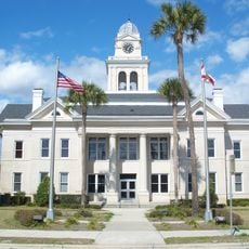
Lafayette County Courthouse
United States of America

Lafayette County Courthouse

29.3 mi
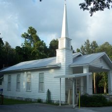
Old Town Methodist Church
United States of America

Old Town Methodist Church

24.7 mi
Old Lafayette County Courthouse
United States of America

Old Lafayette County Courthouse

29.4 mi
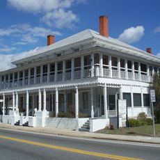
M. Pico Building
United States of America

M. Pico Building

29.3 mi
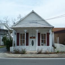
Old Mayo Free Press Building
United States of America

Old Mayo Free Press Building

29.3 mi
United States of America

Andrews Wildlife Management Area

28.9 mi
Cannon Farm
United States of America

Cannon Farm

32.6 mi
United States of America

Garden Patch Archeological Site

17 mi
Bonita Beach
United States of America

Bonita Beach

23.6 mi
United States of America

Temple Theatre

32.9 mi
United States of America

Manatee Springs

27.7 mi
United States of America

McMillan Bluff

25.9 mi
United States of America

Chiefland Golf & Country Club

30 mi
United States of America

Spring Dive Entrance

27.8 mi

Sink Hole Trail Amphitheater

27.7 mi
United States of America

Manatee

27.7 mi
Show the full map
Reviews
Share your experience

No review yet

Discussions
Start a discussion...

No discussion yet

« Steinhatchee - Coastal settlement in Taylor County, Florida, US » is provided by Around Us (aroundus.com). Images and texts are derived from Wikimedia project under a Creative Commons license. You are allowed to copy, distribute, and modify copies of this page, under the conditions set by the license, as long as this note is clearly visible.

Discover hidden gems everywhere you go!

From secret cafés to breathtaking viewpoints, skip the crowded tourist spots and find places that match your style. Our app makes it easy with voice search, smart filtering, route optimization, and insider tips from travelers worldwide. Download now for the complete mobile experience.

Around Us App Screenshot
❝

A unique approach to discovering new places❞

— Le Figaro

❝

All the places worth exploring❞

— France Info

❝

A tailor-made excursion in just a few clicks❞

— 20 Minutes

Around Us
Travel Guide & Maps
Download

Send to your phone

QR Code
1

Open the camera app on your mobile.

2

Point at the QR code with your camera. A notification will appear.

3

Tap the notification to open the link.