Enable Location

We need your location to show you interesting places around you

Discover nearby places

Find interesting locations and hidden gems around you

Precise directions

Get accurate directions and distances to places

Your location is never shared with other users. It's only used when you tap the location button.

Log in to your account

Start exploring — it's free

Trusted by 63,424 travelers worldwide

Continue with Google
Continue with Apple
or

We will send you a code to connect

By continuing, you accept our Terms and Conditions and our Privacy Policy

Check your inbox

We've sent a pincode in your inbox. Please enter the code below.

Hernández–Capron Trail
Discussion Reviews Photo
1.2k Popularity

Hernández–Capron Trail, Historic hiking trail in Volusia County, Florida.

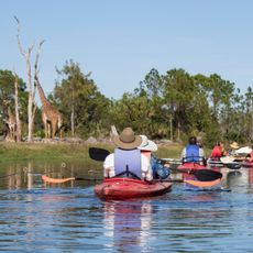
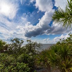
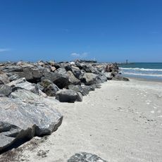
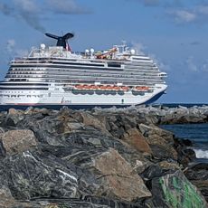
The Hernández-Capron Trail is a hiking route in Volusia County that runs roughly 200 miles from New Smyrna south to Fort Pierce. The path passes through forests, wetlands, and open ridgelines that characterize Florida's interior regions.

This path developed in the 1800s as one of the first road connections between St. Augustine and the Fort Pierce area in Florida Territory. It became strategically important during military operations in the Seminole Wars.

The route bears the name of Joseph Marion Hernández, the first congressional delegate from Florida Territory, who established this path through Atlantic Coastal Ridge.

Hikers should carry plenty of water, wear sturdy footwear, and bring sun protection since much of the route crosses open or partially exposed terrain. It is wise to check weather forecasts ahead of time and allow for breaks when covering longer sections.

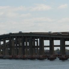
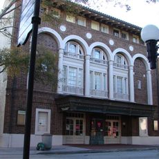
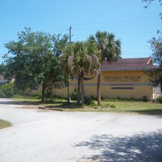
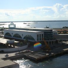
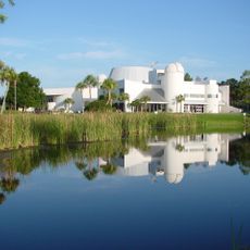
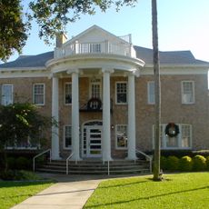
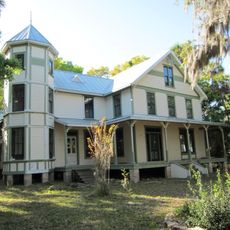
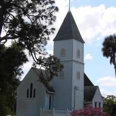
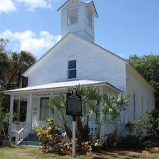
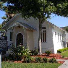
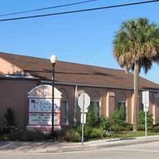
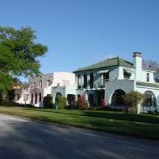
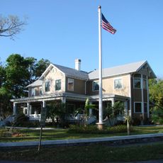
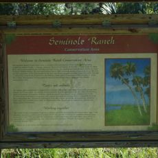
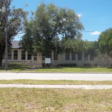
The route cuts through alternating sections of untouched wilderness and developed areas, creating an unusual mix of raw nature and signs of human settlement. This interplay between different environments makes it a surprisingly revealing journey through modern Florida.

The community of curious travelers

AroundUs brings together thousands of curated places, local tips, and hidden gems, enriched daily by 60,000 contributors worldwide.

Start exploring
Location
GPS coordinates
28.35583,-80.73343
Latest update
December 14, 2025 18:48
Around this place
Brevard Zoo
United States of America

Brevard Zoo

14.6 km
Merritt Island Causeway
United States of America

Merritt Island Causeway

1.5 km
Aladdin Theater
United States of America

Aladdin Theater

730 m
Manatee Sanctuary Park
United States of America

Manatee Sanctuary Park

12.1 km
The Wizard of OZ Museum
United States of America

The Wizard of OZ Museum

12.8 km
Brevard Museum of History & Natural Science
United States of America

Brevard Museum of History & Natural Science

4.6 km
Disney Cruise Line Terminal
United States of America

Disney Cruise Line Terminal

12 km
Astronaut Memorial Planetarium and Observatory
United States of America

Astronaut Memorial Planetarium and Observatory

4.3 km
Porcher House
United States of America

Porcher House

1.1 km
H. S. Williams House
United States of America

H. S. Williams House

3.2 km
St. Luke's Episcopal Church and Cemetery
United States of America

St. Luke's Episcopal Church and Cemetery

11.4 km
Dr. George E. Hill House
United States of America

Dr. George E. Hill House

4.7 km
J. R. Field Homestead
United States of America

J. R. Field Homestead

5 km
City Point Community Church
United States of America

City Point Community Church

7.7 km
Historic Derby Street Chapel
United States of America

Historic Derby Street Chapel

919 m
St. Mark's Episcopal Church (Cocoa, Florida)
United States of America

St. Mark's Episcopal Church (Cocoa, Florida)

885 m
Valencia Subdivision Residential District
United States of America

Valencia Subdivision Residential District

2.4 km
Rockledge Drive Residential District
United States of America

Rockledge Drive Residential District

3.3 km
Barton Avenue Residential District
United States of America

Barton Avenue Residential District

2.8 km
Persimmon Mound
United States of America

Persimmon Mound

13.5 km
Cocoa Junior High School
United States of America

Cocoa Junior High School

547 m
Community Woman's Club
United States of America

Community Woman's Club

904 m
Sands Space History Center
United States of America

Sands Space History Center

14.4 km
Cape Canaveral Space Force Museum
United States of America

Cape Canaveral Space Force Museum

18.5 km
Jetty Park Beach
United States of America

Jetty Park Beach

15.1 km
Cocoa Beach Pier
United States of America

Cocoa Beach Pier

13 km
Jetty Park Road
United States of America

Jetty Park Road

14.6 km
Cape Canaveral Public Library
United States of America

Cape Canaveral Public Library

13.1 km
Show the full map
Reviews
Share your experience

No review yet

Discussions
Start a discussion...

No discussion yet

« Hernández–Capron Trail - Historic hiking trail in Volusia County, Florida » is provided by Around Us (aroundus.com). Images and texts are derived from Wikimedia project under a Creative Commons license. You are allowed to copy, distribute, and modify copies of this page, under the conditions set by the license, as long as this note is clearly visible.

Discover hidden gems everywhere you go!

From secret cafés to breathtaking viewpoints, skip the crowded tourist spots and find places that match your style. Our app makes it easy with voice search, smart filtering, route optimization, and insider tips from travelers worldwide. Download now for the complete mobile experience.

Around Us App Screenshot

A unique approach to discovering new places

Le Figaro

All the places worth exploring

France Info

A tailor-made excursion in just a few clicks

20 Minutes

Around Us
Travel Guide & Maps
Download

Send to your phone

QR Code
1

Open the camera app on your mobile.

2

Point at the QR code with your camera. A notification will appear.

3

Tap the notification to open the link.