Enable Location

We need your location to show you interesting places around you

Discover nearby places

Find interesting locations and hidden gems around you

Precise directions

Get accurate directions and distances to places

Your location is never shared with other users. It's only used when you tap the location button.

Bay County

Log in to your account

Start exploring — it's free

Trusted by 63,024 travelers worldwide

Continue with Google
Continue with Apple
or

We will send you a code to connect

By continuing, you accept our Terms and Conditions and our Privacy Policy

Check your inbox

We've sent a pincode in your inbox. Please enter the code below.

Bay County
Discussion Reviews 1 Photos
800+ Popularity

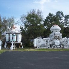
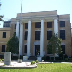
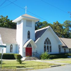
Bay County, County in Florida, US

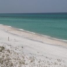
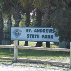
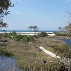
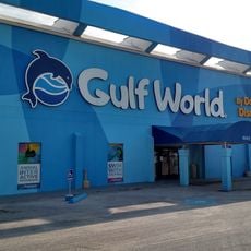
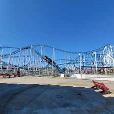
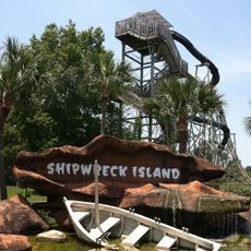
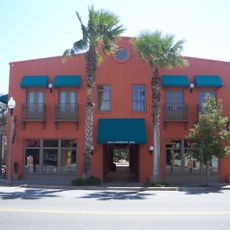
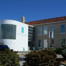
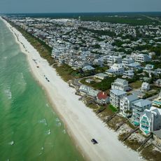
Bay County spans across Northwest Florida with a mix of land and extensive water surfaces, including St Andrews Bay and coastal areas. The territory encompasses several towns and diverse landscapes ranging from beaches to inland regions.

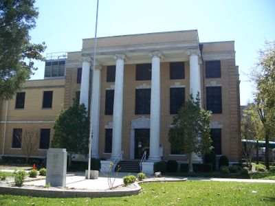
The county was established in 1913 when representatives from five towns around St Andrews Bay came together to form a new administrative territory. This consolidation shaped the structure of the region as it exists today.

The area hosts seasonal events like the Pumpkin Patch Festival in October, where local residents gather for autumn celebrations and outdoor activities. These gatherings reflect how the community comes together around shared traditions.

The Northwest Florida Beaches International Airport offers connections to major destinations across the South and Midwest regions of the United States. Most visitors use this airport as a gateway to explore different parts of the territory.

The school system is split between two districts - Bay District Schools manages most educational institutions, while the Mexico Beach area falls under Gulf County Schools. This unusual arrangement reflects local administrative boundaries that surprise many visitors.

The community of curious travelers

AroundUs brings together thousands of curated places, local tips, and hidden gems, enriched daily by 60,000 contributors worldwide.

Start exploring
Location
Inception
April 24, 1913
Capital city
Panama City
Shares border with
Washington County, Jackson County, Calhoun County, Gulf County, Walton County
GPS coordinates
30.24000,-85.63000
Latest update
December 14, 2025 20:30
Around this place
Grayton Beach State Park
United States of America

Grayton Beach State Park

43.7 km
Miracle Strip Amusement Park
United States of America

Miracle Strip Amusement Park

19.5 km
St. Andrews State Park
United States of America

St. Andrews State Park

16.1 km
Camp Helen State Park
United States of America

Camp Helen State Park

34.9 km
Gulf World Marine Park
United States of America

Gulf World Marine Park

23 km
Hathaway Bridge
United States of America

Hathaway Bridge

12.3 km
Pine Log State Forest
United States of America

Pine Log State Forest

28.8 km
Race City PCB
United States of America

Race City PCB

17.1 km
Shipwreck Island Water Park
United States of America

Shipwreck Island Water Park

19.6 km
Man in the Sea Museum
United States of America

Man in the Sea Museum

25.3 km
Bay County Courthouse
United States of America

Bay County Courthouse

9.8 km
First Baptist Church
United States of America

First Baptist Church

9.4 km
First Presbyterian Church
United States of America

First Presbyterian Church

2.3 km
Robert L. McKenzie House
United States of America

Robert L. McKenzie House

10 km
Latimer Cabin
United States of America

Latimer Cabin

34.5 km
Sapp House
United States of America

Sapp House

10 km
A. A. Payne-John Christo, Sr., House
United States of America

A. A. Payne-John Christo, Sr., House

9.7 km
St. Andrew School
United States of America

St. Andrew School

10.1 km
Sherman Arcade
United States of America

Sherman Arcade

10 km
Panama City Center for the Arts
United States of America

Panama City Center for the Arts

9.8 km
Science and Discovery Center of Northwest Florida
United States of America

Science and Discovery Center of Northwest Florida

7.5 km
Schmidt-Godert Farm
United States of America

Schmidt-Godert Farm

16.2 km
Bowlarama Lanes
United States of America

Bowlarama Lanes

9.4 km
Science & Discovery Center of Northwest Florida
United States of America

Science & Discovery Center of Northwest Florida

7.5 km
Sonic
United States of America

Sonic

18.8 km
Alys Beach
United States of America

Alys Beach

38.9 km
Seacrest Beach
United States of America

Seacrest Beach

42.1 km
Martin Theatre
United States of America

Martin Theatre

9.9 km
Show the full map
Reviews
Share your experience

No review yet

Discussions
Start a discussion...

No discussion yet

Administrative divisions
« Bay County - County in Florida, US » is provided by Around Us (aroundus.com). Images and texts are derived from Wikimedia project under a Creative Commons license. You are allowed to copy, distribute, and modify copies of this page, under the conditions set by the license, as long as this note is clearly visible.

Discover hidden gems everywhere you go!

From secret cafés to breathtaking viewpoints, skip the crowded tourist spots and find places that match your style. Our app makes it easy with voice search, smart filtering, route optimization, and insider tips from travelers worldwide. Download now for the complete mobile experience.

Around Us App Screenshot

A unique approach to discovering new places

Le Figaro

All the places worth exploring

France Info

A tailor-made excursion in just a few clicks

20 Minutes

Around Us
Travel Guide & Maps
Download

Send to your phone

QR Code
1

Open the camera app on your mobile.

2

Point at the QR code with your camera. A notification will appear.

3

Tap the notification to open the link.