Seminole County, Administrative county in southwestern Georgia, United States
Seminole County is an administrative county spanning 257 square miles in southwestern Georgia, with Lake Seminole marking its southern boundary. The landscape features water bodies, wetlands, and farmland across its expanse.
The county was established in 1920 from parts of Decatur and Early counties, taking its name from Seminole people who lived along the Chattahoochee River. This origin remains woven into the region's character.
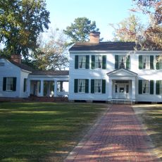
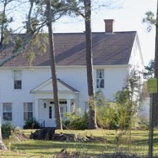
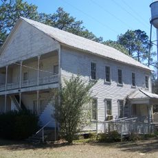
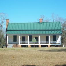
Agricultural practices shape daily life here, with cotton, corn, and peanut farming rooted in the community's identity. These traditions continue to influence local rhythms and economic patterns.
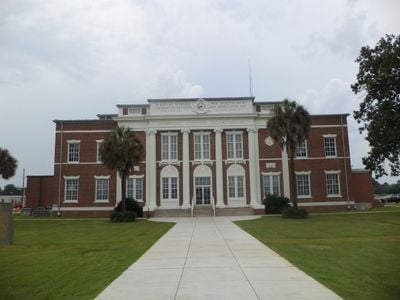
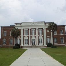
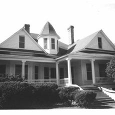
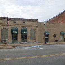
The county is easily accessed via U.S. Route 84, with Donalsonville serving as its administrative hub. This city provides essential services and facilities for visitors and residents alike.
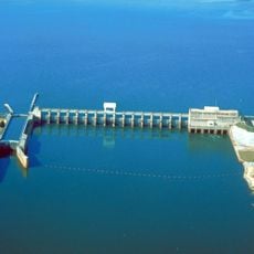
Lake Seminole forms at the convergence point where Georgia, Florida, and Alabama borders meet, creating a natural tripoint. This location offers recreational opportunities while serving as a vital habitat for local wildlife.
The community of curious travelers
AroundUs brings together thousands of curated places, local tips, and hidden gems, enriched daily by 60,000 contributors worldwide.