Enable Location

We need your location to show you interesting places around you

Discover nearby places

Find interesting locations and hidden gems around you

Precise directions

Get accurate directions and distances to places

Your location is never shared with other users. It's only used when you tap the location button.

Lowndes County

Log in to your account

Start exploring — it's free

Trusted by 63,600 travelers worldwide

Continue with Google
Continue with Apple
or

We will send you a code to connect

By continuing, you accept our Terms and Conditions and our Privacy Policy

Check your inbox

We've sent a pincode in your inbox. Please enter the code below.

Discussion Reviews 1 Photos
27.4k Popularity

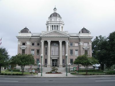
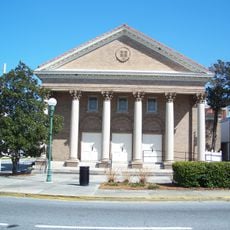
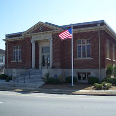
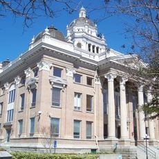
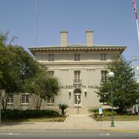
Lowndes County, Administrative division in south-central Georgia, United States

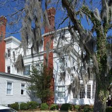
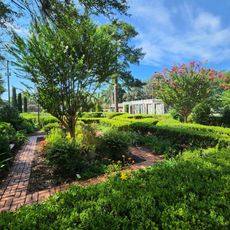
Lowndes County is an administrative division in south-central Georgia that extends across hundreds of square miles and includes the city of Valdosta along with the Withlacoochee River system. The landscape is shaped by waterways and features a mix of urban and rural areas.

The county was founded in 1825 and named after William Jones Lowndes, a South Carolina lawyer who served in the United States Congress. Its creation reflected Georgia's expansion and administrative organization during that period.

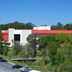
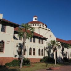
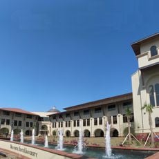
Valdosta State University shapes the cultural life of the region through educational programs and sports events that draw people from across the area.

The county is served by two separate school systems: Valdosta City Schools for residents within city limits and Lowndes County School District for others. This structure shapes where families choose to settle in the region.

Moody Air Force Base, established in 1941, is a major military installation that shapes the county's economic and demographic development. The base has deep roots in the local community and influences the region's everyday character.

The community of curious travelers

AroundUs brings together thousands of curated places, local tips, and hidden gems, enriched daily by 60,000 contributors worldwide.

Start exploring
Location
Inception
December 23, 1825
Capital city
Valdosta
Shares border with
Berrien County, Lanier County, Echols County, Hamilton County, Madison County, Brooks County, Cook County
GPS coordinates
30.83000,-83.27000
Latest update
December 20, 2025 13:46
Around this place
United States of America

Wild Adventures

13.3 km
United States of America

Spook Bridge

17.9 km
Cheetah
United States of America

Cheetah

13.4 km
Banks Lake National Wildlife Refuge
United States of America

Banks Lake National Wildlife Refuge

25.1 km
Swamp Thing
United States of America

Swamp Thing

13.2 km
The Crescent
United States of America

The Crescent

1.7 km
United States of America

Twisted Typhoon

13.5 km
The Complex
United States of America

The Complex

2.9 km
Viking Voyage
United States of America

Viking Voyage

13.4 km
West Hall
United States of America

West Hall

2.8 km
First Presbyterian Church
United States of America

First Presbyterian Church

467 m
Lowndes County Historical Society Museum
United States of America

Lowndes County Historical Society Museum

1.2 km
Converse-Dalton House
United States of America

Converse-Dalton House

1 km
Student Union (Valdosta State University)
United States of America

Student Union (Valdosta State University)

2.7 km
Dasher High School
United States of America

Dasher High School

1.1 km
Barber-Pittman House
United States of America

Barber-Pittman House

1.1 km
Crestwood
United States of America

Crestwood

5.4 km
Valdosta Commercial Historic District
United States of America

Valdosta Commercial Historic District

838 m
East End Historic District
United States of America

East End Historic District

1 km
Brookwood North Historic District
United States of America

Brookwood North Historic District

3 km
Statenville Consolidated School
United States of America

Statenville Consolidated School

27.4 km
North Patterson Street Historic District
United States of America

North Patterson Street Historic District

1.9 km
Lowndes County Courthouse
United States of America

Lowndes County Courthouse

919 m
Ewell Brown General Store
United States of America

Ewell Brown General Store

18.4 km
Southside Historic District
United States of America

Southside Historic District

897 m
Fairview Historic District
United States of America

Fairview Historic District

1.5 km
Valdosta Garden Center
United States of America

Valdosta Garden Center

1.7 km
Valdosta Wake Compound
United States of America

Valdosta Wake Compound

5.5 km
Show the full map
Reviews
Share your experience

No review yet

Discussions
Start a discussion...

No discussion yet

Administrative divisions
« Lowndes County - Administrative division in south-central Georgia, United States » is provided by Around Us (aroundus.com). Images and texts are derived from Wikimedia project under a Creative Commons license. You are allowed to copy, distribute, and modify copies of this page, under the conditions set by the license, as long as this note is clearly visible.

Discover hidden gems everywhere you go!

From secret cafés to breathtaking viewpoints, skip the crowded tourist spots and find places that match your style. Our app makes it easy with voice search, smart filtering, route optimization, and insider tips from travelers worldwide. Download now for the complete mobile experience.

Around Us App Screenshot

A unique approach to discovering new places

Le Figaro

All the places worth exploring

France Info

A tailor-made excursion in just a few clicks

20 Minutes

Around Us
Travel Guide & Maps
Download

Send to your phone

QR Code
1

Open the camera app on your mobile.

2

Point at the QR code with your camera. A notification will appear.

3

Tap the notification to open the link.