Enable Location

We need your location to show you interesting places around you

Discover nearby places

Find interesting locations and hidden gems around you

Precise directions

Get accurate directions and distances to places

Your location is never shared with other users. It's only used when you tap the location button.

Barbour County

Log in to your account

Start exploring — it's free

Trusted by 61,876 travelers worldwide

Continue with Google
Continue with Apple
or

We will send you a code to connect

By continuing, you accept our Terms and Conditions and our Privacy Policy

Check your inbox

We've sent a pincode in your inbox. Please enter the code below.

Barbour County, Administrative division in southeastern Alabama, United States.

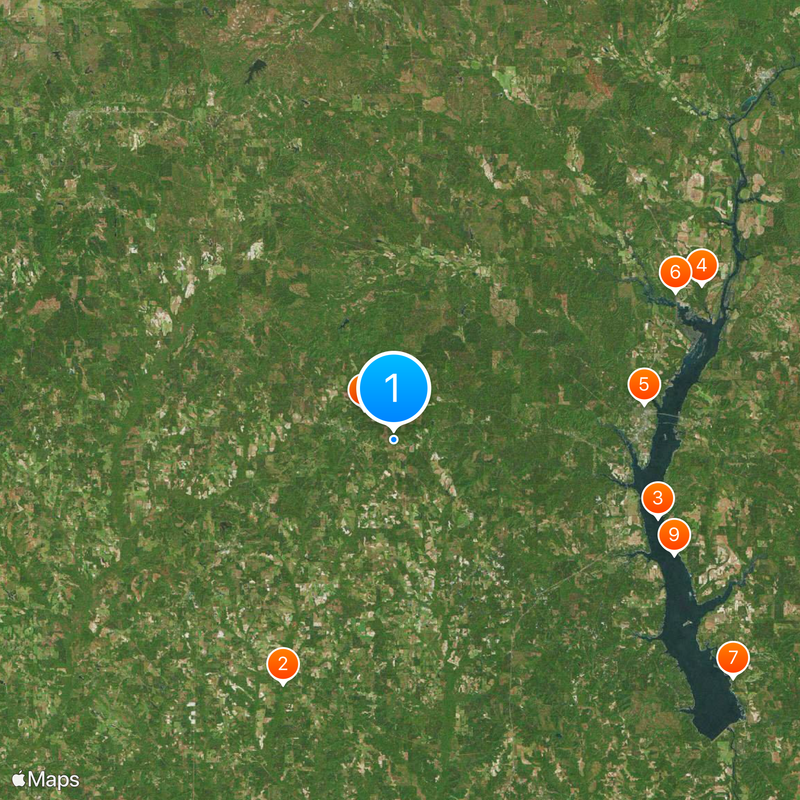
Barbour County is an administrative division in the Wiregrass region of southeastern Alabama, with two main towns, Clayton and Eufaula, connected by U.S. Highways 82 and 431. The county encompasses various rural communities accessible through these important roadways.

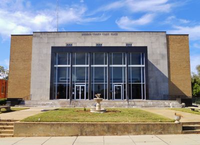
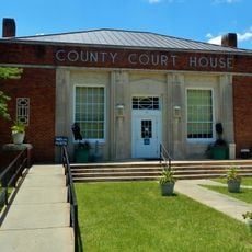
The county was established in 1832 and named after Virginia Governor James Barbour, with Louisville initially serving as the county seat. The seat was relocated to Clayton in 1834, reflecting early changes in the region's administrative development.

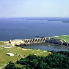
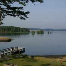
The Eufaula National Wildlife Refuge shapes the local landscape and invites visitors to experience natural habitats directly. This protected area demonstrates how the community connects conservation with education.

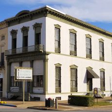
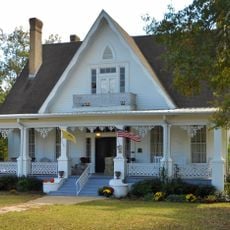
Visitors will find essential services and amenities concentrated in Clayton and Eufaula, with schools and educational facilities distributed throughout the county. Highways 82 and 431 provide clear orientation and good accessibility between communities.

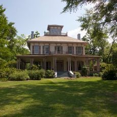
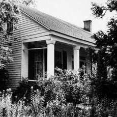
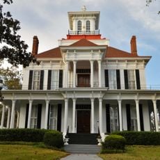
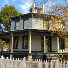
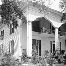
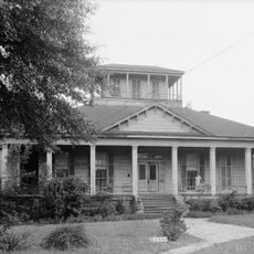
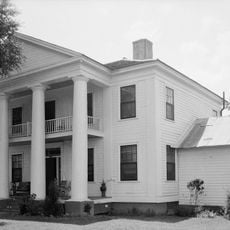
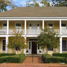
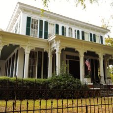
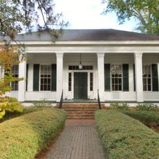
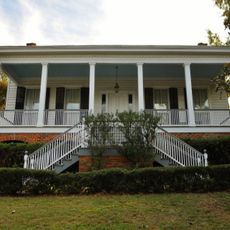
The area has a striking political history, with more governors originating from this county than from any other in Alabama. This influence on state politics becomes evident when exploring local landmarks and community institutions.

The community of curious travelers

AroundUs brings together thousands of curated places, local tips, and hidden gems, enriched daily by 60,000 contributors worldwide.

Start exploring
Location
Inception
December 18, 1832
Capital city
Clayton
Shares border with
Russell County, Quitman County, Stewart County, Clay County, Henry County, Dale County, Pike County, Bullock County
GPS coordinates
31.86583,-85.39611
Latest update
December 20, 2025 14:56
Around this place
United States of America

Blue Springs State Park

25.2 km
Walter F. George Lake
United States of America

Walter F. George Lake

25.9 km
United States of America

Eufaula National Wildlife Refuge

32.5 km
Shorter Mansion
United States of America

Shorter Mansion

23.9 km
United States of America

Lakepoint State Park

30 km
George T. Bagby State Park
United States of America

George T. Bagby State Park

39.1 km
Fendall Hall
United States of America

Fendall Hall

4 km
United States of America

Mandeville Site

28.5 km
Henry D. Clayton House
United States of America

Henry D. Clayton House

5.3 km
United States of America

Seth Lore and Irwinton Historic District

24 km
Kendall Manor
United States of America

Kendall Manor

23.3 km
United States of America

Woodlane Plantation

21.3 km
Grace Episcopal Church
United States of America

Grace Episcopal Church

5.3 km
Petty-Roberts-Beatty House
United States of America

Petty-Roberts-Beatty House

5.2 km
Foster House
United States of America

Foster House

43.7 km
Cato House
United States of America

Cato House

22.9 km
Glenn-Thompson Plantation
United States of America

Glenn-Thompson Plantation

38 km
Spring Hill Methodist Church
United States of America

Spring Hill Methodist Church

24.5 km
Wellborn
United States of America

Wellborn

24.4 km
The Tavern
United States of America

The Tavern

24.2 km
Drewry-Mitchell-Moorer House
United States of America

Drewry-Mitchell-Moorer House

24.1 km
Bullock County Courthouse Historic District
United States of America

Bullock County Courthouse Historic District

43.4 km
Quitman County Courthouse and Old Jail
United States of America

Quitman County Courthouse and Old Jail

27.2 km
Bray-Barron House
United States of America

Bray-Barron House

24 km
Merritt School
United States of America

Merritt School

26.7 km
Kiels-McNab House
United States of America

Kiels-McNab House

23 km
McNab Bank Building
United States of America

McNab Bank Building

24.1 km
Miller-Martin Town House
United States of America

Miller-Martin Town House

5.4 km
Show the full map
« Barbour County - Administrative division in southeastern Alabama, United States » is provided by Around Us (aroundus.com). Images and texts are derived from Wikimedia project under a Creative Commons license. You are allowed to copy, distribute, and modify copies of this page, under the conditions set by the license, as long as this note is clearly visible.

Discover hidden gems everywhere you go!

From secret cafés to breathtaking viewpoints, skip the crowded tourist spots and find places that match your style. Our app makes it easy with voice search, smart filtering, route optimization, and insider tips from travelers worldwide. Download now for the complete mobile experience.

Around Us App Screenshot

A unique approach to discovering new places

Le Figaro

All the places worth exploring

France Info

A tailor-made excursion in just a few clicks

20 Minutes

Around Us
Travel Guide & Maps
Download

Send to your phone

QR Code
1

Open the camera app on your mobile.

2

Point at the QR code with your camera. A notification will appear.

3

Tap the notification to open the link.