Enable Location

We need your location to show you interesting places around you

Discover nearby places

Find interesting locations and hidden gems around you

Precise directions

Get accurate directions and distances to places

Your location is never shared with other users. It's only used when you tap the location button.

Clinch County

Log in to your account

Start exploring — it's free

Trusted by travelers worldwide

Continue with Google
Continue with Apple
or

We will send you a code to connect

By continuing, you accept our Terms and Conditions and our Privacy Policy

Check your inbox

We've sent a pincode in your inbox. Please enter the code below.

Clinch County, Administrative county in Georgia, United States.

Description

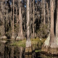
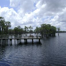
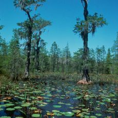
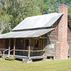
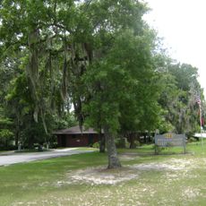
Clinch County is an administrative area in southeastern Georgia spanning a large expanse of farmland and wetland environments. The landscape is shaped by the Okefenokee Swamp, which covers a substantial portion of this territory and defines much of its natural character.

History

Established in 1850, the county took its name from Duncan Lamont Clinch, a military commander active during the Second Seminole War. This naming ties the area's history to broader regional conflicts of that era.

Culture

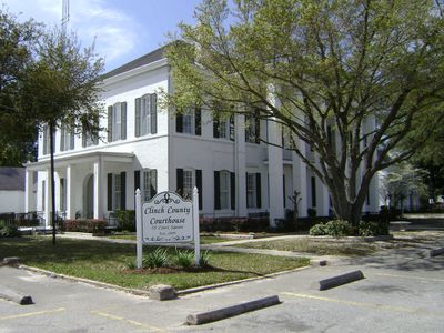
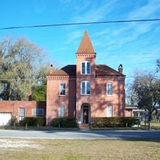
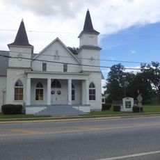
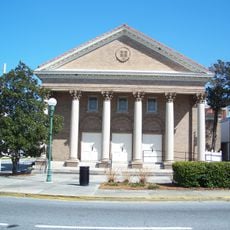
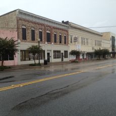
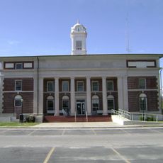
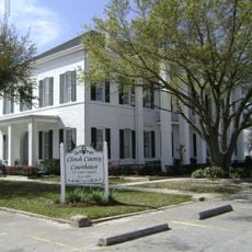
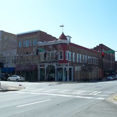
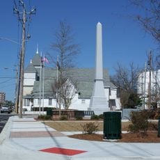
The county seat of Homerville serves as a gathering place where residents come together for community events and agricultural celebrations that reflect Southern traditions. These gatherings shape how people connect and maintain ties to the land and local heritage.

Practical

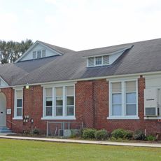
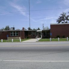
Major highways U.S. Route 84 and U.S. Route 221 run through the county, connecting it to surrounding regions and larger towns. When exploring, expect a rural character with services and facilities spread across farm and natural areas rather than concentrated in one spot.

Did you know?

The area contains a large portion of the Okefenokee Swamp, one of the largest and most pristine wetland systems in the United States with its own complex ecology. This swamp is home to wildlife and plant species that exist in few other places in the region.

GPS coordinates
30.89388,-82.69235
Latest update
December 7, 2025 19:29

AroundUs brings together thousands of curated places, local tips, and hidden gems, enriched daily by 60,000 contributors worldwide. Discover all places nearby (Clinch County).

Around this place
Stephen C. Foster State Park
United States of America

Stephen C. Foster State Park

32.3 km
Banks Lake National Wildlife Refuge
United States of America

Banks Lake National Wildlife Refuge

43.8 km
Okefenokee Wilderness
United States of America

Okefenokee Wilderness

36.3 km
Old Hamilton County Jail
United States of America

Old Hamilton County Jail

48.1 km
Obediah Barber Homestead
United States of America

Obediah Barber Homestead

39.6 km
First African Baptist Church and Parsonage
United States of America

First African Baptist Church and Parsonage

48.4 km
United States Post Office and Courthouse
United States of America

United States Post Office and Courthouse

47.2 km
First Presbyterian Church
United States of America

First Presbyterian Church

55.5 km
Downtown Waycross Historic District
United States of America

Downtown Waycross Historic District

47.3 km
Converse-Dalton House
United States of America

Converse-Dalton House

56.6 km
Lanier County Auditorium and Grammar School
United States of America

Lanier County Auditorium and Grammar School

39.9 km
Atkinson County Courthouse
United States of America

Atkinson County Courthouse

47.4 km
Dasher High School
United States of America

Dasher High School

55.7 km
Waycross Historic District
United States of America

Waycross Historic District

47.3 km
Jennings High School
United States of America

Jennings High School

50.2 km
Barber-Pittman House
United States of America

Barber-Pittman House

56.5 km
Clinch County Courthouse
United States of America

Clinch County Courthouse

16.8 km
Valdosta Commercial Historic District
United States of America

Valdosta Commercial Historic District

56.5 km
East End Historic District
United States of America

East End Historic District

55.9 km
Statenville Consolidated School
United States of America

Statenville Consolidated School

38.2 km
Lowndes County Courthouse
United States of America

Lowndes County Courthouse

56.5 km
Southside Historic District
United States of America

Southside Historic District

55.8 km
Manor School
United States of America

Manor School

26.1 km
Echols County
United States of America

Echols County

27.7 km
Lyric Theatre
United States of America

Lyric Theatre

47.3 km
Johnston Lakes Library
United States of America

Johnston Lakes Library

54.9 km
Dosta Playhouse
United States of America

Dosta Playhouse

56.4 km
Ritz Theatre
United States of America

Ritz Theatre

47.4 km
Show the full map
« Clinch County - Administrative county in Georgia, United States » is provided by Around Us (aroundus.com). Images and texts are derived from Wikimedia project under a Creative Commons license. You are allowed to copy, distribute, and modify copies of this page, under the conditions set by the license, as long as this note is clearly visible.

Discover hidden gems everywhere you go!

From secret cafés to breathtaking viewpoints, skip the crowded tourist spots and find places that match your style. Our app makes it easy with voice search, smart filtering, route optimization, and insider tips from travelers worldwide. Download now for the complete mobile experience.

Around Us App Screenshot

A unique approach to discovering new places

Le Figaro

All the places worth exploring

France Info

A tailor-made excursion in just a few clicks

20 Minutes

Around Us
Travel Guide & Maps
Download

Send to your phone

QR Code
1

Open the camera app on your mobile.

2

Point at the QR code with your camera. A notification will appear.

3

Tap the notification to open the link.