Enable Location

We need your location to show you interesting places around you

Discover nearby places

Find interesting locations and hidden gems around you

Precise directions

Get accurate directions and distances to places

Your location is never shared with other users. It's only used when you tap the location button.

Chambers County

Log in to your account

Start exploring — it's free

Trusted by 61,875 travelers worldwide

Continue with Google
Continue with Apple
or

We will send you a code to connect

By continuing, you accept our Terms and Conditions and our Privacy Policy

Check your inbox

We've sent a pincode in your inbox. Please enter the code below.

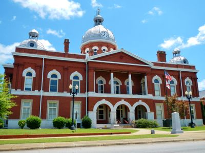
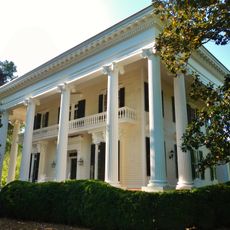
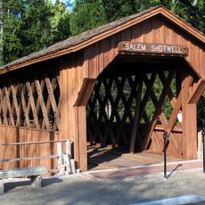
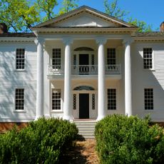
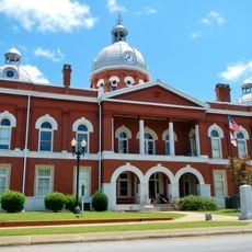
Chambers County, Administrative division in Alabama, United States.

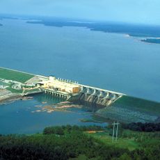
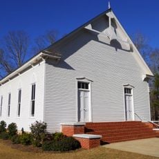
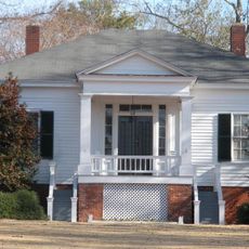
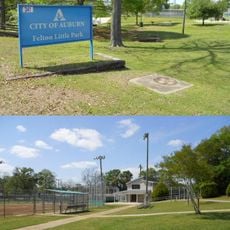
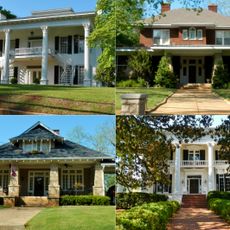
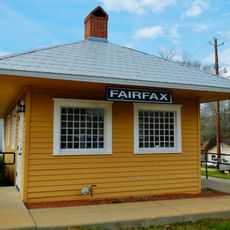
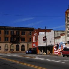
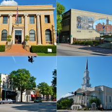
Chambers County is an administrative division in eastern Alabama that encompasses both land and water areas. The region includes several towns and communities spread across its territory.

The county was founded in 1832 and played a role in Alabama's early administrative expansion. Its establishment formalized European settlement patterns in the eastern part of the state.

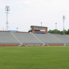
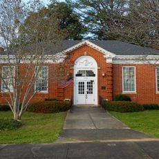
The county maintains multiple public school districts and collaborates with regional colleges to provide educational opportunities for residents.

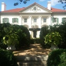
Visitors can access local information through county offices and explore the main towns by driving through the area. Spring and fall offer the most pleasant conditions for visiting and touring the region.

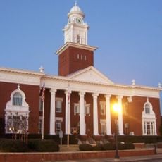
The Chambers County Commission operates through a five-member court system, managing local governance and community development initiatives.

The community of curious travelers

AroundUs brings together thousands of curated places, local tips, and hidden gems, enriched daily by 60,000 contributors worldwide.

Start exploring
Location
Inception
December 18, 1832
Capital city
LaFayette
Elevation above the sea
248 m
Shares border with
Randolph County, Troup County, Harris County, Lee County, Tallapoosa County
GPS coordinates
32.91111,-85.39389
Latest update
December 20, 2025 16:10
Around this place
West Point Lake
United States of America

West Point Lake

19.3 km
Hills and Dales Estate
United States of America

Hills and Dales Estate

35.2 km
Duck Samford Stadium
United States of America

Duck Samford Stadium

33.9 km
Bellevue
United States of America

Bellevue

36.1 km
Salem-Shotwell Covered Bridge
United States of America

Salem-Shotwell Covered Bridge

28.1 km
Nutwood
United States of America

Nutwood

39.3 km
Langdale Historic District
United States of America

Langdale Historic District

23.6 km
County Line Baptist Church
United States of America

County Line Baptist Church

18.3 km
Pebble Hill
United States of America

Pebble Hill

34.7 km
Felton Little Park
United States of America

Felton Little Park

34.3 km
Riverview Historic District
United States of America

Riverview Historic District

27 km
McCosh Grist Mill
United States of America

McCosh Grist Mill

26.5 km
Chambers County Courthouse Square Historic District
United States of America

Chambers County Courthouse Square Historic District

1.5 km
Broad Street Historic District
United States of America

Broad Street Historic District

36.1 km
Fairfax Historic District
United States of America

Fairfax Historic District

23.9 km
Shawmut Historic District
United States of America

Shawmut Historic District

21.2 km
Roanoke Downtown Historic District
United States of America

Roanoke Downtown Historic District

26.5 km
Lee County Courthouse
United States of America

Lee County Courthouse

29.6 km
Hawkes Children's Library of West Point
United States of America

Hawkes Children's Library of West Point

20.2 km
LaGrange Commercial Historic District
United States of America

LaGrange Commercial Historic District

36.8 km
Robert Wilton Burton House
United States of America

Robert Wilton Burton House

34.8 km
Biblical History Center
United States of America

Biblical History Center

32.8 km
Ernest McCarty Oliver House
United States of America

Ernest McCarty Oliver House

945 m
Liberty Hill
United States of America

Liberty Hill

33.2 km
Great Wolf Lodge Water Park | Georgia
United States of America

Great Wolf Lodge Water Park | Georgia

35.6 km
Miller Covered Bridge
United States of America

Miller Covered Bridge

33.2 km
Horseshoe Bend National Military Park Visitor Center
United States of America

Horseshoe Bend National Military Park Visitor Center

32.9 km
Playhouse Grave of Nadine Earles
United States of America

Playhouse Grave of Nadine Earles

18.5 km
Show the full map
« Chambers County - Administrative division in Alabama, United States » is provided by Around Us (aroundus.com). Images and texts are derived from Wikimedia project under a Creative Commons license. You are allowed to copy, distribute, and modify copies of this page, under the conditions set by the license, as long as this note is clearly visible.

Discover hidden gems everywhere you go!

From secret cafés to breathtaking viewpoints, skip the crowded tourist spots and find places that match your style. Our app makes it easy with voice search, smart filtering, route optimization, and insider tips from travelers worldwide. Download now for the complete mobile experience.

Around Us App Screenshot

A unique approach to discovering new places

Le Figaro

All the places worth exploring

France Info

A tailor-made excursion in just a few clicks

20 Minutes

Around Us
Travel Guide & Maps
Download

Send to your phone

QR Code
1

Open the camera app on your mobile.

2

Point at the QR code with your camera. A notification will appear.

3

Tap the notification to open the link.