Chest opened
+${chestReward.xp} XP
Explorer
NOUVEAU ×${chestReward.collectible.quantity}
tapez pour fermer

See the monuments around you in AR Open chests in the app

Around Us is built for your phone — point your camera at the streets and discover the monuments and places around you in augmented reality. Around Us is built for your phone — chests unlock when you walk, explore and capture nearby places.

Enable Location

We need your location to show you interesting places around you

Discover nearby places

Find interesting locations and hidden gems around you

Precise directions

Get accurate directions and distances to places

Your location is never shared with other users. It's only used when you tap the location button.

Weiss

Log in to your account

Start exploring — it's free

Trusted by 87,056 travelers worldwide

Continue with Google
Continue with Apple
or

We will send you a code to connect

By continuing, you accept our Terms and Conditions and our Privacy Policy

Check your inbox

We've sent a pincode in your inbox. Please enter the code below.

Weiss
Discussion Reviews 1 Photos
18.2k Popularity

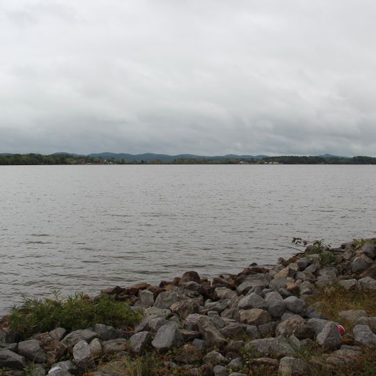
Weiss, Hydroelectric reservoir in Cherokee County and Bartow County, United States.

Weiss Lake is a hydroelectric reservoir in Cherokee County and Bartow County that covers more than 30,000 acres and features shallow flats alongside deep channels. The shoreline measures roughly 447 miles (720 kilometers) and connects coves with open water stretches.

The dam construction began in 1958 as the first of seven hydroelectric projects along the Coosa River and was completed in June 1961. The facility took its name from Fernand C. Weiss, a former chief engineer at Alabama Power.

Local anglers often refer to the reservoir as "the Crappie Capital of the World," a title earned through decades of successful catches. The lake hosts regular tournaments that draw participants from neighboring states throughout spring and fall.

Access is available through four public launch sites and 37 marinas distributed along the shoreline. Campgrounds and lodging options line the water for extended visits, particularly during warmer months.

The dam combines a 126-foot (38-meter) concrete structure with earthen embankments in an unusual mixed design. The reservoir extends into three counties and connects different communities along its shores.

The community of curious travelers

AroundUs brings together thousands of curated places, local tips, and hidden gems, enriched daily by 60,000 contributors worldwide.
Start exploring
Location
Location
GPS coordinates
34.20005,-85.63090
Latest update
September 16, 2026 19:38
Around this place
Little River Canyon National Preserve
United States of America

Little River Canyon National Preserve

13.5 mi
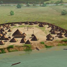
King Archaeological Site
United States of America

King Archaeological Site

13.4 mi
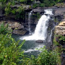
Little River Falls
United States of America

Little River Falls

13.5 mi
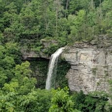
Grace's High Falls
United States of America

Grace's High Falls

11.1 mi
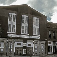
Fort Payne Opera House
United States of America

Fort Payne Opera House

17.6 mi
Confederate Monument
United States of America

Confederate Monument

17.6 mi
Sardis Presbyterian Church and Cemetery
United States of America

Sardis Presbyterian Church and Cemetery

15.1 mi
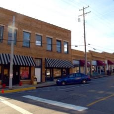
Fort Payne Main Street Historic District
United States of America

Fort Payne Main Street Historic District

17.5 mi
Fort Payne Boom Town Historic District
United States of America

Fort Payne Boom Town Historic District

17.6 mi
Fort Payne Residential Historic District
United States of America

Fort Payne Residential Historic District

17.7 mi
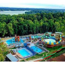
Pirates Bay Waterpark
United States of America

Pirates Bay Waterpark

4.2 mi
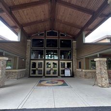
Little River Canyon Center
United States of America

Little River Canyon Center

13.8 mi
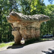
Mushroom Rock
United States of America

Mushroom Rock

12.1 mi
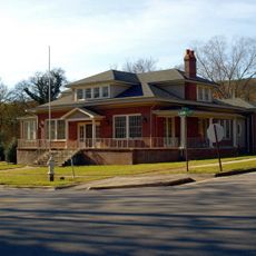
Duke's Alley
United States of America

Duke's Alley

5.2 mi
United States of America

Georgia School for the Deaf Alumni Association Museum

17.7 mi
United States of America

Hawks Glide

11.6 mi
United States of America

Dye Ditch Gang

17.5 mi
United States of America

Scenic viewpoint

13.5 mi
United States of America

Little River Falls Overlook

13.3 mi
United States of America

The band Alabama

17.6 mi
United States of America

Canyon View

11.5 mi
United States of America

Wolf Creek Overlook

11.5 mi
United States of America

Lynn Overlook

12.6 mi
United States of America

Crow Point

10.9 mi
United States of America

Grace's High Falls Overlook

11.2 mi
United States of America

Eberhardt Point

10.8 mi
United States of America

Grace's High Falls

11.1 mi
United States of America

Little Falls

13 mi
Show the full map
Reviews
Share your experience

No review yet

Discussions
Start a discussion...

No discussion yet

« Weiss - Hydroelectric reservoir in Cherokee County and Bartow County, United States » is provided by Around Us (aroundus.com). Images and texts are derived from Wikimedia project under a Creative Commons license. You are allowed to copy, distribute, and modify copies of this page, under the conditions set by the license, as long as this note is clearly visible.

Discover hidden gems everywhere you go!

From secret cafés to breathtaking viewpoints, skip the crowded tourist spots and find places that match your style. Our app makes it easy with voice search, smart filtering, route optimization, and insider tips from travelers worldwide. Download now for the complete mobile experience.

Around Us App Screenshot

A unique approach to discovering new places

Le Figaro

All the places worth exploring

France Info

A tailor-made excursion in just a few clicks

20 Minutes

Around Us
Travel Guide & Maps
Download

Send to your phone

QR Code
1

Open the camera app on your mobile.

2

Point at the QR code with your camera. A notification will appear.

3

Tap the notification to open the link.