Enable Location

We need your location to show you interesting places around you

Discover nearby places

Find interesting locations and hidden gems around you

Precise directions

Get accurate directions and distances to places

Your location is never shared with other users. It's only used when you tap the location button.

Glascock County

Log in to your account

Start exploring — it's free

Trusted by travelers worldwide

Continue with Google
Continue with Apple
or

We will send you a code to connect

By continuing, you accept our Terms and Conditions and our Privacy Policy

Check your inbox

We've sent a pincode in your inbox. Please enter the code below.

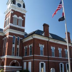
Glascock County, Administrative division in Georgia, United States.

Description

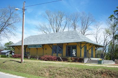
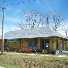
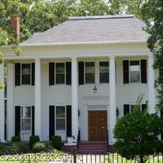
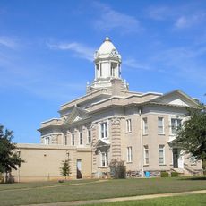
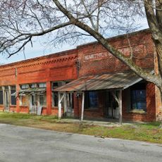
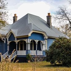
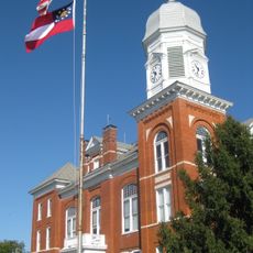
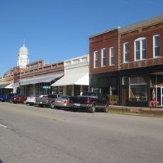
Glascock County is an administrative division in eastern Georgia comprising roughly 90 square miles (145 square kilometers) of agricultural land, with Gibson as its county seat. State Routes 80, 102, 123, and 171 traverse the area, providing connections to surrounding regions.

History

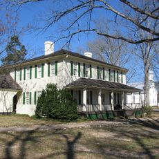
The county was established in 1857 from portions of Jefferson and Warren counties. It takes its name from Thomas Glascock, a general who served in the First Seminole War.

Culture

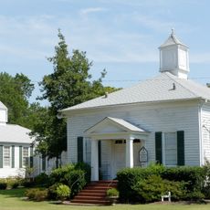
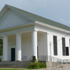
Residents maintain strong ties to farming through local fairs and community gatherings that shape daily life. These events reveal how agriculture remains central to the region's identity and social bonds.

Practical

The area is easily accessible via four state highways and works well for visitors exploring rural regions. Good road connections make it straightforward to navigate through the area and reach neighboring communities.

Did you know?

Despite its small population, the county stands out for exceptionally high voter participation rates. This reveals a deeply engaged community actively involved in civic life.

GPS coordinates
33.21688,-82.61120
Latest update
December 7, 2025 20:20

AroundUs brings together thousands of curated places, local tips, and hidden gems, enriched daily by 60,000 contributors worldwide. Discover all places nearby (Glascock County).

Around this place
Fort Eisenhower
United States of America

Fort Eisenhower

49.4 km
Liberty Hall
United States of America

Liberty Hall

46.3 km
A. H. Stephens State Park
United States of America

A. H. Stephens State Park

46.9 km
Old Market
United States of America

Old Market

30.6 km
Hamburg State Park
United States of America

Hamburg State Park

15.5 km
Old Rock House
United States of America

Old Rock House

30 km
Heggie's Rock
United States of America

Heggie's Rock

49.1 km
Kiokee Baptist Church
United States of America

Kiokee Baptist Church

50 km
City Cemetery
United States of America

City Cemetery

32.2 km
James L. Hardaway House
United States of America

James L. Hardaway House

25.9 km
Tennille Baptist Church
United States of America

Tennille Baptist Church

36.2 km
Thomas E. Watson House
United States of America

Thomas E. Watson House

29.8 km
Bath Presbyterian Church and Cemetery
United States of America

Bath Presbyterian Church and Cemetery

42.9 km
Jewell Historic District
United States of America

Jewell Historic District

18.2 km
Hopeful Baptist Church
United States of America

Hopeful Baptist Church

44.4 km
Glascock County Courthouse
United States of America

Glascock County Courthouse

2.4 km
Washington County Courthouse
United States of America

Washington County Courthouse

32 km
Tennille Banking Company Building
United States of America

Tennille Banking Company Building

36.4 km
A. H. Stephens State Park
United States of America

A. H. Stephens State Park

46.6 km
Holt Brothers Banking Company Building
United States of America

Holt Brothers Banking Company Building

31.9 km
Columbia County Courthouse
United States of America

Columbia County Courthouse

45.5 km
Mitchell Depot Historical Museum
United States of America

Mitchell Depot Historical Museum

8.6 km
Bartow Historic District
United States of America

Bartow Historic District

39.7 km
Jefferson County Courthouse
United States of America

Jefferson County Courthouse

30.8 km
Warthen Historic District
United States of America

Warthen Historic District

22.1 km
Charles Madden House
United States of America

Charles Madden House

36.2 km
Taliaferro County Courthouse
United States of America

Taliaferro County Courthouse

46 km
Crawfordville Historic District
United States of America

Crawfordville Historic District

42 km
Show the full map
« Glascock County - Administrative division in Georgia, United States » is provided by Around Us (aroundus.com). Images and texts are derived from Wikimedia project under a Creative Commons license. You are allowed to copy, distribute, and modify copies of this page, under the conditions set by the license, as long as this note is clearly visible.

Discover hidden gems everywhere you go!

From secret cafés to breathtaking viewpoints, skip the crowded tourist spots and find places that match your style. Our app makes it easy with voice search, smart filtering, route optimization, and insider tips from travelers worldwide. Download now for the complete mobile experience.

Around Us App Screenshot

A unique approach to discovering new places

Le Figaro

All the places worth exploring

France Info

A tailor-made excursion in just a few clicks

20 Minutes

Around Us
Travel Guide & Maps
Download

Send to your phone

QR Code
1

Open the camera app on your mobile.

2

Point at the QR code with your camera. A notification will appear.

3

Tap the notification to open the link.