Enable Location

We need your location to show you interesting places around you

Discover nearby places

Find interesting locations and hidden gems around you

Precise directions

Get accurate directions and distances to places

Your location is never shared with other users. It's only used when you tap the location button.

Jefferson County

Log in to your account

Start exploring — it's free

Trusted by 63,681 travelers worldwide

Continue with Google
Continue with Apple
or

We will send you a code to connect

By continuing, you accept our Terms and Conditions and our Privacy Policy

Check your inbox

We've sent a pincode in your inbox. Please enter the code below.

Discussion Reviews 1 Photos
18k Popularity

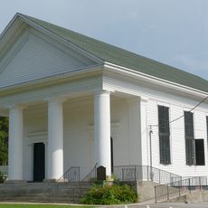
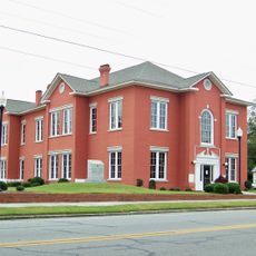
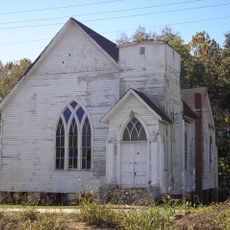
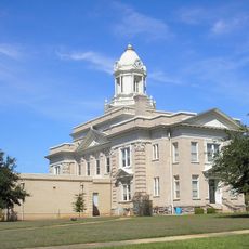
Jefferson County, Administrative division in Georgia, United States

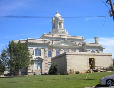
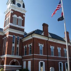
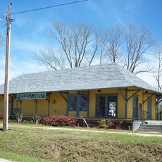
Jefferson County is an administrative area in eastern Georgia that spans across multiple communities and provides local services to residents. The county operates a centralized Administration Center housing departments for permits, licenses, and public records that serve the population.

The county established its self-governing structure through a major administrative reform following the adoption of Home Rule in 2008. This change shaped how local government is organized and operates today.

The county's public library system runs multiple branches across the region where residents gather for learning and community events. These spaces serve as meeting points that reflect how the area values shared knowledge and local connection.

Visitors can access services and information through the central Administration Center where most departments are located. It helps to call ahead to confirm which department handles your specific need.

The Department of Administrative Services manages an integrated system for human resources, contracts, and grants while overseeing county purchasing. This interconnected operation allows different functions to work together smoothly.

The community of curious travelers

AroundUs brings together thousands of curated places, local tips, and hidden gems, enriched daily by 60,000 contributors worldwide.

Start exploring
Location
Inception
February 20, 1796
Capital city
Louisville
Shares border with
McDuffie County, Emanuel County, Richmond County, Burke County, Washington County, Johnson County, Glascock County, Warren County
GPS coordinates
33.05000,-82.42000
Latest update
December 7, 2025 19:23
Around this place
Fort Eisenhower
United States of America

Fort Eisenhower

48.4 km
Magnolia Springs State Park
United States of America

Magnolia Springs State Park

47.1 km
Old Market
United States of America

Old Market

5.7 km
Hamburg State Park
United States of America

Hamburg State Park

37.5 km
Old Rock House
United States of America

Old Rock House

49.8 km
City Cemetery
United States of America

City Cemetery

37.6 km
James L. Hardaway House
United States of America

James L. Hardaway House

46.7 km
Tennille Baptist Church
United States of America

Tennille Baptist Church

38.6 km
Thomas E. Watson House
United States of America

Thomas E. Watson House

47.5 km
John James Jones House
United States of America

John James Jones House

37.6 km
Bath Presbyterian Church and Cemetery
United States of America

Bath Presbyterian Church and Cemetery

39.3 km
Burke County Courthouse
United States of America

Burke County Courthouse

38 km
Jewell Historic District
United States of America

Jewell Historic District

43.4 km
Hopeful Baptist Church
United States of America

Hopeful Baptist Church

32 km
James Coleman House
United States of America

James Coleman House

50.5 km
Glascock County Courthouse
United States of America

Glascock County Courthouse

26.1 km
Washington County Courthouse
United States of America

Washington County Courthouse

37.3 km
Tennille Banking Company Building
United States of America

Tennille Banking Company Building

38.7 km
Haven Memorial Methodist Episcopal Church
United States of America

Haven Memorial Methodist Episcopal Church

38.3 km
Holt Brothers Banking Company Building
United States of America

Holt Brothers Banking Company Building

37.2 km
Mitchell Depot Historical Museum
United States of America

Mitchell Depot Historical Museum

32.4 km
Bartow Historic District
United States of America

Bartow Historic District

19.7 km
Jefferson County Courthouse
United States of America

Jefferson County Courthouse

5.9 km
Johnson County Courthouse
United States of America

Johnson County Courthouse

45.3 km
Waynesboro Historic District
United States of America

Waynesboro Historic District

37.9 km
Warthen Historic District
United States of America

Warthen Historic District

36.3 km
Charles Madden House
United States of America

Charles Madden House

38.3 km
Waynesboro Commercial Historic District
United States of America

Waynesboro Commercial Historic District

40.8 km
Show the full map
Reviews
Share your experience

No review yet

Discussions
Start a discussion...

No discussion yet

« Jefferson County - Administrative division in Georgia, United States » is provided by Around Us (aroundus.com). Images and texts are derived from Wikimedia project under a Creative Commons license. You are allowed to copy, distribute, and modify copies of this page, under the conditions set by the license, as long as this note is clearly visible.

Discover hidden gems everywhere you go!

From secret cafés to breathtaking viewpoints, skip the crowded tourist spots and find places that match your style. Our app makes it easy with voice search, smart filtering, route optimization, and insider tips from travelers worldwide. Download now for the complete mobile experience.

Around Us App Screenshot

A unique approach to discovering new places

Le Figaro

All the places worth exploring

France Info

A tailor-made excursion in just a few clicks

20 Minutes

Around Us
Travel Guide & Maps
Download

Send to your phone

QR Code
1

Open the camera app on your mobile.

2

Point at the QR code with your camera. A notification will appear.

3

Tap the notification to open the link.