Enable Location

We need your location to show you interesting places around you

Discover nearby places

Find interesting locations and hidden gems around you

Precise directions

Get accurate directions and distances to places

Your location is never shared with other users. It's only used when you tap the location button.

Columbia County

Log in to your account

Start exploring — it's free

Trusted by travelers worldwide

Continue with Google
Continue with Apple
or

We will send you a code to connect

By continuing, you accept our Terms and Conditions and our Privacy Policy

Check your inbox

We've sent a pincode in your inbox. Please enter the code below.

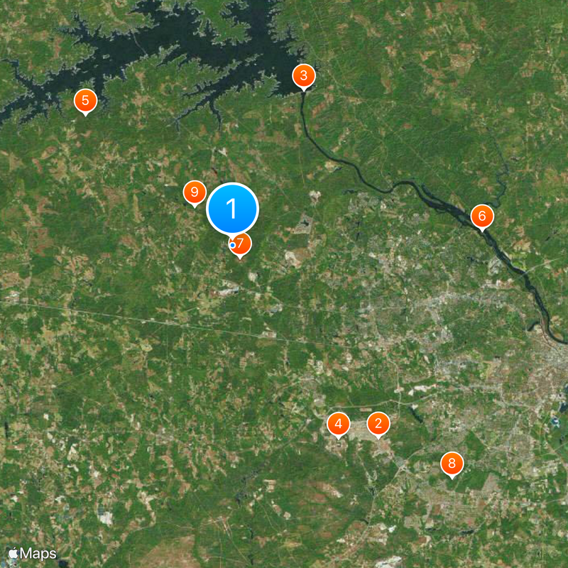
Columbia County, Administrative division in Georgia, United States

Description

Columbia County is an administrative division in eastern Georgia along the Savannah River, where rolling hills and pine forests dominate the landscape. The territory includes both developed areas and natural spaces spread across the region.

History

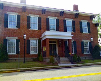
The county was established in 1790 from Richmond County and received its name honoring Christopher Columbus during the early American Republic. This founding reflected the expansion of settlement in eastern Georgia after independence.

Culture

The county maintains multiple parks, recreation centers, and sports facilities that support local athletics and community gatherings throughout the year.

Practical

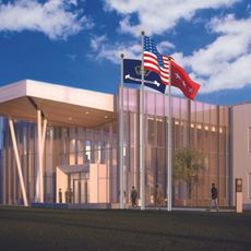
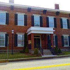
The Government Complex in Evans serves as the main administrative hub where residents can handle permits, licenses, and access public records. It is advisable to contact the office during business hours to confirm which departments are available for your needs.

Did you know?

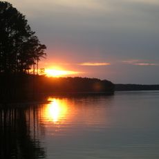
The Stevens Creek Trail system weaves through the county with an extensive network of paths that connects neighborhoods with natural areas and water features. This network gives visitors easy access to diverse natural settings without long drives.

Location
Inception
December 10, 1790
Capital city
Appling
Shares border with
Lincoln County, McCormick County, Edgefield County, Richmond County, McDuffie County
GPS coordinates
33.55000,-82.26000
Latest update
December 20, 2025 01:35

AroundUs brings together thousands of curated places, local tips, and hidden gems, enriched daily by 60,000 contributors worldwide. Discover all places nearby (Georgia).

Around this place
Fort Eisenhower
United States of America

Fort Eisenhower

19.1 km
Lake Strom Thurmond
United States of America

Lake Strom Thurmond

13.6 km
United States of America

Georgia Cryptologic Center

17.4 km
United States of America

Mistletoe State Park

15.6 km
United States of America

Stallings Island

19.8 km
Heggie's Rock
United States of America

Heggie's Rock

1.1 km
Seclusaval and Windsor Spring
United States of America

Seclusaval and Windsor Spring

25.3 km
Kiokee Baptist Church
United States of America

Kiokee Baptist Church

4.3 km
United States of America

Steven's Creek Heritage Preserve

17.2 km
United States of America

Price–Legg Bridge

17.5 km
Hopewell Rosenwald School
United States of America

Hopewell Rosenwald School

14.2 km
Columbia County Courthouse
United States of America

Columbia County Courthouse

5.2 km
United States of America

B. Edward Tankersley Memorial Bridge

5.9 km
United States of America

Major Byron S. McGuire Sr. Memorial Bridge

11.2 km
United States of America

Fort Gordon Reservoir

19.6 km
United States of America

Furys Ferry Bridge

13.5 km
United States of America

G.B. "Dip" Lamkin Bridge

7.4 km
United States of America

Bowen Pond

18.9 km
United States of America

Big Smoak Lake

18.2 km
United States of America

Robert W. Pollard Bridge

7.3 km
United States of America

Ellis Pond

24 km
United States of America

Beaver Dam Pond

17.8 km
United States of America

The Laurel and Hardy Museum of Harlem, Georgia

15.5 km
United States of America

Columbia Theater

16.1 km
United States of America

Fort Gordon Cinema

16.2 km
United States of America

Regal Augusta Village Cinema 12

18.4 km
United States of America

Lieutenant General James E. Gray Memorial Bridge

9.3 km
United States of America

U.S. Army Signal Corps Museum

17.5 km
Show the full map
Administrative divisions
« Columbia County - Administrative division in Georgia, United States » is provided by Around Us (aroundus.com). Images and texts are derived from Wikimedia project under a Creative Commons license. You are allowed to copy, distribute, and modify copies of this page, under the conditions set by the license, as long as this note is clearly visible.

Discover hidden gems everywhere you go!

From secret cafés to breathtaking viewpoints, skip the crowded tourist spots and find places that match your style. Our app makes it easy with voice search, smart filtering, route optimization, and insider tips from travelers worldwide. Download now for the complete mobile experience.

Around Us App Screenshot

A unique approach to discovering new places

Le Figaro

All the places worth exploring

France Info

A tailor-made excursion in just a few clicks

20 Minutes

Around Us
Travel Guide & Maps
Download

Send to your phone

QR Code
1

Open the camera app on your mobile.

2

Point at the QR code with your camera. A notification will appear.

3

Tap the notification to open the link.