Darien, Colonial settlement in McIntosh County, Georgia, United States
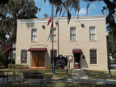
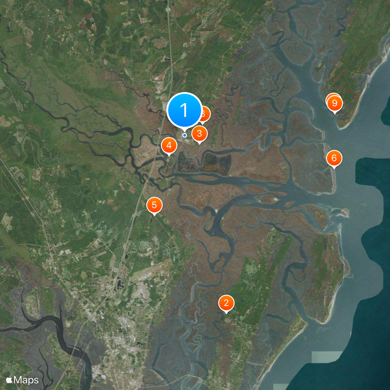
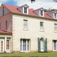
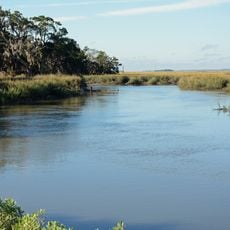
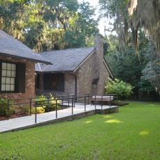
Darien is a town on Georgia's coast at the mouth of the Altamaha River with streets organized around waterfront areas and residential neighborhoods. The town has a compact structure with a clear center cut through by US Route 17, which connects local businesses, government offices, and schools throughout the area.
Scottish Highlanders founded Darien in January 1736 under James Oglethorpe's leadership, initially naming it New Inverness to honor their homeland. This settlement was part of Oglethorpe's vision for Georgia and these colonists played a key role in defending the region's early borders and development.
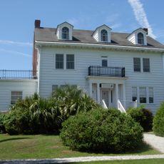
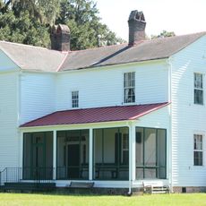
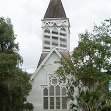
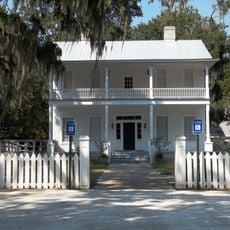
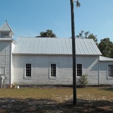
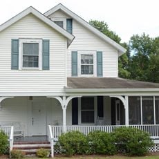
The town carries the legacy of Scottish settlers who left their mark through street names and local traditions. You can sense this heritage as you walk through the older parts of town and see how the community still honors these connections.
US Route 17 runs through the center and makes it easy to find your way to shops and public facilities without confusion. The town's layout is manageable, so you can reach important locations on foot and exploring the area requires no special effort.
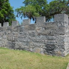
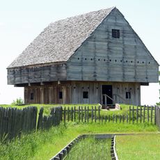
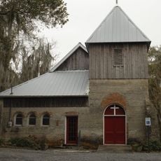
The British built Fort King George near Darien in 1721 as their southernmost North American outpost, but abandoned it by 1727. The remains and story of this fort offer insight into the early struggles between European powers for control of this region.
The community of curious travelers
AroundUs brings together thousands of curated places, local tips, and hidden gems, enriched daily by 60,000 contributors worldwide.