McIntosh County

Log in to your account

AroundUs is a community-driven map of interesting places, built by curious explorers like you. It grows with every review, story, and photo you share.
Connect to save your favorite spots, contribute locations, and create personalized routes.
Continue with Google
Continue with Apple
Continue with X
Continue with Facebook
Continue with email
By continuing, you accept our Terms and Conditions and our Privacy Policy
Create an account
Add to collection
Map
Suggest a change
Share

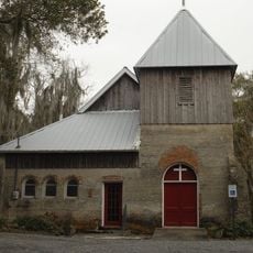
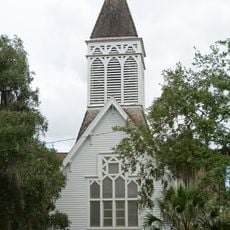
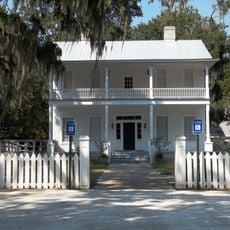
McIntosh County, Coastal administrative division in Georgia, US

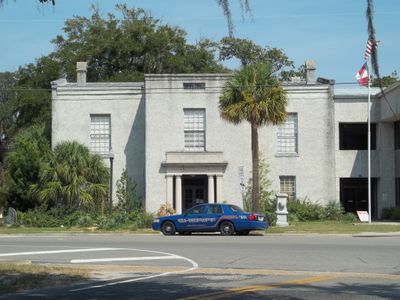
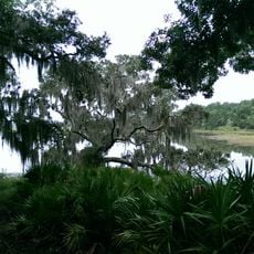
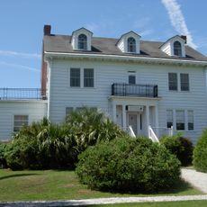
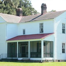
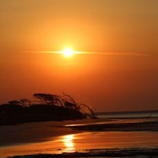
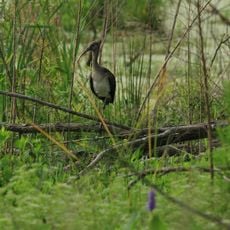
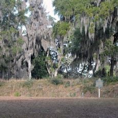
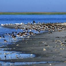
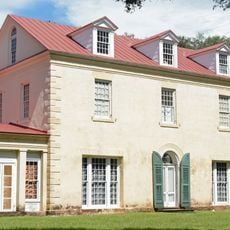
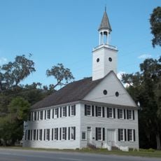
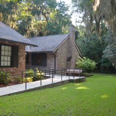
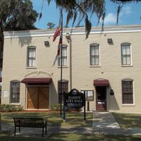
McIntosh County is a coastal administrative division in Georgia that spans marshlands, salt wetlands, and several wildlife refuges along the Atlantic. The area centers on Darien, which serves as the administrative hub and offers direct access to water and maritime resources.

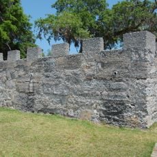
The area was established in 1777 and named after Lachlan McIntosh, a Scottish officer who served as a general in the Continental Army during the American Revolution. Its founding took place during a period of profound change as the new nation declared independence.

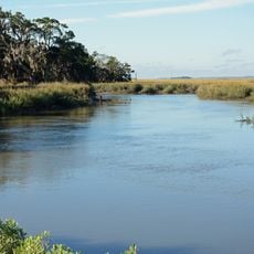
The shrimp boats of Darien shape the waterfront's character today, with fishing traditions visible in daily life along the docks. People here remain deeply connected to the water, and maritime work continues as a defining part of community identity.

Interstate 95 and US Highway 17 run through the area, offering straightforward connections to other parts of the state. The terrain is flat with many wet areas, so visitors should bring appropriate clothing and footwear for coastal conditions.

The area is known for its simplified traffic system, where just two flashing lights manage the entire road network. This unusual feature reflects the quieter, less densely settled character of the region.

Location: Georgia

Inception: December 19, 1793

Capital city: Darien

Shares border with: Liberty County, Glynn County, Wayne County, Long County

Website: http://mcintoshcounty.com

GPS coordinates: 31.48000,-81.37000

Latest update: December 7, 2025 10:07

Photos
Around this place
Igbo Landing Historic Site
United States of America

Igbo Landing Historic Site

32.6 km
St. Catherines Island
United States of America

St. Catherines Island

26 km
Fort Frederica National Monument
United States of America

Fort Frederica National Monument

28.7 km
Fort King George
United States of America

Fort King George

13.6 km
Butler Island Plantation
United States of America

Butler Island Plantation

15.7 km
Hofwyl-Broadfield Plantation
United States of America

Hofwyl-Broadfield Plantation

21.3 km
Blackbeard Island National Wildlife Refuge
United States of America

Blackbeard Island National Wildlife Refuge

15 km
Harris Neck National Wildlife Refuge
United States of America

Harris Neck National Wildlife Refuge

19.7 km
Fort Morris
United States of America

Fort Morris

33.1 km
Fort Morris Historic Site
United States of America

Fort Morris Historic Site

32.1 km
Wolf Island National Wildlife Refuge
United States of America

Wolf Island National Wildlife Refuge

17.2 km
Fort Barrington
United States of America

Fort Barrington

23.4 km
Sapelo Island Light
United States of America

Sapelo Island Light

12.7 km
Christ Church
United States of America

Christ Church

29 km
Ashantilly
United States of America

Ashantilly

11.7 km
Midway Historic District
United States of America

Midway Historic District

36.1 km
Sapelo Island Range Front Light
United States of America

Sapelo Island Range Front Light

12.9 km
Duplin River
United States of America

Duplin River

9.9 km
St. Cyprian's Episcopal Church
United States of America

St. Cyprian's Episcopal Church

13.8 km
Ballard School
United States of America

Ballard School

33.3 km
St. Andrew's Episcopal Church
United States of America

St. Andrew's Episcopal Church

13.8 km
West Darien Historic District
United States of America

West Darien Historic District

13.5 km
Walthourville Presbyterian Church
United States of America

Walthourville Presbyterian Church

37.9 km
Needwood Baptist Church and School
United States of America

Needwood Baptist Church and School

23.1 km
Stewart–Screven Monument
United States of America

Stewart–Screven Monument

36.7 km
Woodmanston Site
United States of America

Woodmanston Site

26.1 km
Vernon Square-Columbus Square Historic District
United States of America

Vernon Square-Columbus Square Historic District

13.6 km
Fort Frederica Visitor Center
United States of America

Fort Frederica Visitor Center

28.6 km
Show the full map
Reviews

Visited this place? Tap the stars to rate it and share your experience / photos with the community! Try now! You can cancel it anytime.

Administrative divisions
« McIntosh County - Coastal administrative division in Georgia, US » is provided by Around Us (aroundus.com). Images and texts are derived from Wikimedia project under a Creative Commons license. You are allowed to copy, distribute, and modify copies of this page, under the conditions set by the license, as long as this note is clearly visible.

Discover hidden gems everywhere you go!

From secret cafés to breathtaking viewpoints, skip the crowded tourist spots and find places that match your style. Our app makes it easy with voice search, smart filtering, route optimization, and insider tips from travelers worldwide. Download now for the complete mobile experience.

Around Us App Screenshot

A unique approach to discovering new places

Le Figaro

All the places worth exploring

France Info

A tailor-made excursion in just a few clicks

20 Minutes