Blackbeard Island National Wildlife Refuge, Protected barrier island wildlife refuge in McIntosh County, Georgia, US.
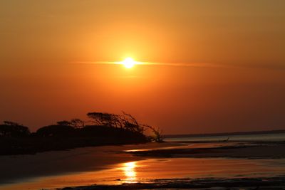
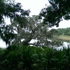
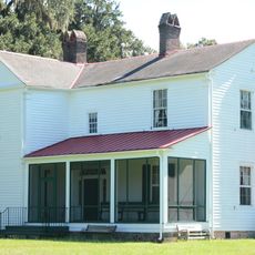
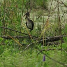
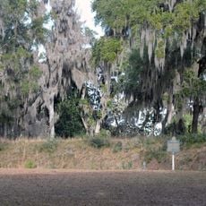
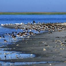
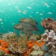
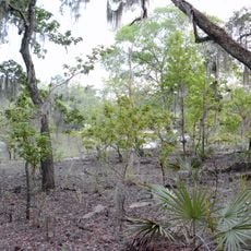
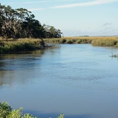
Blackbeard Island National Wildlife Refuge is a federally protected area on a barrier island off the Georgia coast, covering tidal forest, salt marsh, freshwater wetlands, and sandy beaches. The island has no road access and can only be reached by water, which keeps it largely free of development.
The U.S. Navy bought the island at public auction in 1800 to harvest live oak for building warships. Over the following decades, the land changed hands and was eventually set aside as a wildlife refuge managed by the federal government.
The name Blackbeard comes from the pirate Edward Teach, who allegedly buried treasure somewhere along the northern shore. Visitors familiar with this legend often walk the beach with that story in mind, giving the place a layer of local folklore that feels real even today.
Getting to the island requires a private boat or a charter arranged from nearby coastal towns such as Darien or St. Marys. Tides can affect when landings are easy, so checking conditions before setting out is a good idea.
Part of the island is designated as federal wilderness, meaning most visitors are not allowed to enter that section at all. This inner zone is one of the reasons the refuge still looks much the same as it did long before people began using it regularly.
The community of curious travelers
AroundUs brings together thousands of curated places, local tips, and hidden gems, enriched daily by 60,000 contributors worldwide.