Chest opened
+${chestReward.xp} XP
Explorer
NOUVEAU ×${chestReward.collectible.quantity}
tapez pour fermer
Chest locked

Open chests in the app

Around Us is built for your phone — chests unlock when you walk, explore and capture nearby places.

Enable Location

We need your location to show you interesting places around you

Discover nearby places

Find interesting locations and hidden gems around you

Precise directions

Get accurate directions and distances to places

Your location is never shared with other users. It's only used when you tap the location button.

Log in to your account

Start exploring — it's free

Trusted by 73,084 travelers worldwide

Continue with Google
Continue with Apple
or

We will send you a code to connect

By continuing, you accept our Terms and Conditions and our Privacy Policy

Check your inbox

We've sent a pincode in your inbox. Please enter the code below.

South Carolina's 7th congressional district
Discussion Reviews Photo
20.4k Popularity

South Carolina's 7th congressional district, Congressional district in Pee Dee region, United States.

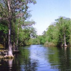
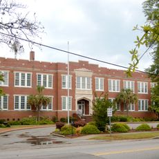
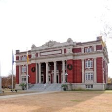
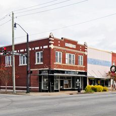
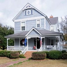
South Carolina's 7th congressional district is an electoral area in the northeastern part of the state spanning multiple counties. It covers Chesterfield, Darlington, Dillon, Georgetown, Horry, Marion, Marlboro, and portions of Florence County.

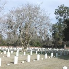
The district originated but disappeared in 1853, reemerged after the 1880 census, and experienced several subsequent changes. George W. Murray, a Black congressman elected in the 1890s, was among the few African Americans representing the area before voter suppression policies took hold.

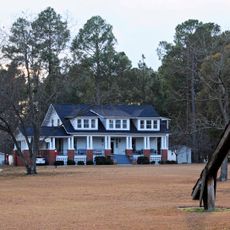
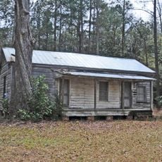
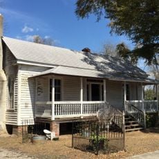
The district brings together urban and rural communities with distinct regional traditions and ways of life. This mix shapes how people relate to their neighborhoods and local institutions.

Residents can check their representative by entering their address on the official South Carolina website. This quickly shows which legislator handles their specific location.

The district had a turbulent existence, being abolished and restored multiple times before its final reestablishment in 2013. These fluctuations reflected shifting boundaries and political circumstances spanning more than 160 years.

The community of curious travelers

AroundUs brings together thousands of curated places, local tips, and hidden gems, enriched daily by 60,000 contributors worldwide.

Start exploring
Location
GPS coordinates
34.11000,-79.35000
Latest update
December 7, 2025 10:06
Around this place
Lumber River
United States of America

Lumber River

59.9 km
Florence National Cemetery
United States of America

Florence National Cemetery

38.2 km
Smith Tobacco Barn
United States of America

Smith Tobacco Barn

27.4 km
Cotton Press
United States of America

Cotton Press

30 km
Slave Houses, Gregg Plantation
United States of America

Slave Houses, Gregg Plantation

20.4 km
Rankin-Harwell House
United States of America

Rankin-Harwell House

23.2 km
Roseville Plantation
United States of America

Roseville Plantation

37.3 km
Galivants Ferry Historic District
United States of America

Galivants Ferry Historic District

11.8 km
Marion High School
United States of America

Marion High School

9.6 km
Dillon County Courthouse
United States of America

Dillon County Courthouse

34.4 km
Dillon Downtown Historic District
United States of America

Dillon Downtown Historic District

26.4 km
James W. Dillon House
United States of America

James W. Dillon House

34.4 km
Red Doe
United States of America

Red Doe

28.3 km
Christ Episcopal Church
United States of America

Christ Episcopal Church

20.6 km
Latta Historic District No. 1
United States of America

Latta Historic District No. 1

26.8 km
John P. Derham House
United States of America

John P. Derham House

34.5 km
Claussen House
United States of America

Claussen House

25.1 km
Poynor School
United States of America

Poynor School

39.4 km
Hopewell Presbyterian Church and Hopewell Cemetery
United States of America

Hopewell Presbyterian Church and Hopewell Cemetery

25.3 km
McMillan House
United States of America

McMillan House

26.4 km
Dillard Barn
United States of America

Dillard Barn

12.3 km
Mt. Zion Rosenwald School
United States of America

Mt. Zion Rosenwald School

28.1 km
Latta Historic District No. 2
United States of America

Latta Historic District No. 2

26.5 km
Blooming Grove
United States of America

Blooming Grove

37.9 km
Mullins Commercial Historic District
United States of America

Mullins Commercial Historic District

13.6 km
John Hayes Farmstead
United States of America

John Hayes Farmstead

30 km
Gregg-Wallace Farm Tenant House
United States of America

Gregg-Wallace Farm Tenant House

29.6 km
J.C. Teasley House
United States of America

J.C. Teasley House

14 km
Show the full map
Reviews
Share your experience

No review yet

Discussions
Start a discussion...

No discussion yet

« South Carolina's 7th congressional district - Congressional district in Pee Dee region, United States » is provided by Around Us (aroundus.com). Images and texts are derived from Wikimedia project under a Creative Commons license. You are allowed to copy, distribute, and modify copies of this page, under the conditions set by the license, as long as this note is clearly visible.

Discover hidden gems everywhere you go!

From secret cafés to breathtaking viewpoints, skip the crowded tourist spots and find places that match your style. Our app makes it easy with voice search, smart filtering, route optimization, and insider tips from travelers worldwide. Download now for the complete mobile experience.

Around Us App Screenshot

A unique approach to discovering new places

Le Figaro

All the places worth exploring

France Info

A tailor-made excursion in just a few clicks

20 Minutes

Around Us
Travel Guide & Maps
Download

Send to your phone

QR Code
1

Open the camera app on your mobile.

2

Point at the QR code with your camera. A notification will appear.

3

Tap the notification to open the link.