Chest opened
+${chestReward.xp} XP
Explorer
NOUVEAU ×${chestReward.collectible.quantity}
tapez pour fermer
Chest locked

Open chests in the app

Around Us is built for your phone — chests unlock when you walk, explore and capture nearby places.

Enable Location

We need your location to show you interesting places around you

Discover nearby places

Find interesting locations and hidden gems around you

Precise directions

Get accurate directions and distances to places

Your location is never shared with other users. It's only used when you tap the location button.

Mission District

Log in to your account

Start exploring — it's free

Trusted by 72,883 travelers worldwide

Continue with Google
Continue with Apple
or

We will send you a code to connect

By continuing, you accept our Terms and Conditions and our Privacy Policy

Check your inbox

We've sent a pincode in your inbox. Please enter the code below.

Discussion Reviews 2 Photos
91.7k Popularity

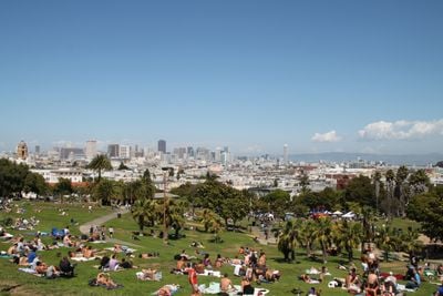
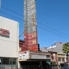
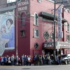
Mission District, Hispanic American neighborhood in San Francisco, United States.

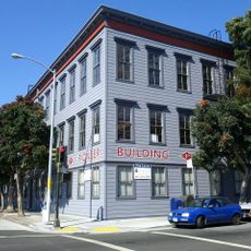
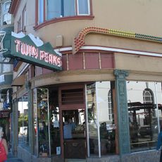
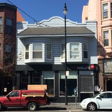
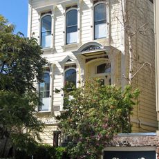
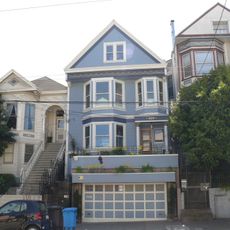
The Mission District stretches north from Cesar Chavez Street to Market Street and is known for its painted building walls, cafés, and boutiques along Mission Street and Valencia Street. The blocks between both streets house Victorian wooden homes, community gardens, and galleries visited on weekdays and weekends alike.

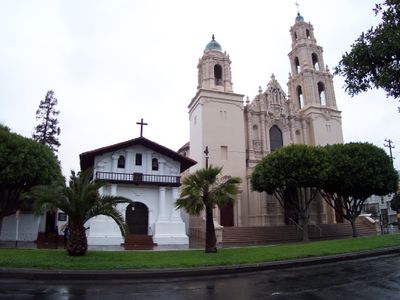
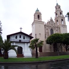
The Spanish mission San Francisco de Asís was founded here in 1776 and formed the core of a small settlement. Latin American immigrants arrived in larger numbers from the 1940s onward and shaped the district over the following decades.

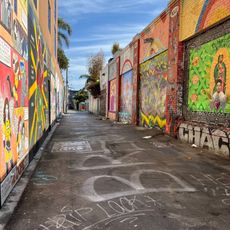
Murals cover walls and garage doors with images of Latin American history, political messages, and everyday scenes from the neighborhood. Many streets display Spanish-language signs outside shops and restaurants, while taquerías and panaderías stay open around the clock.

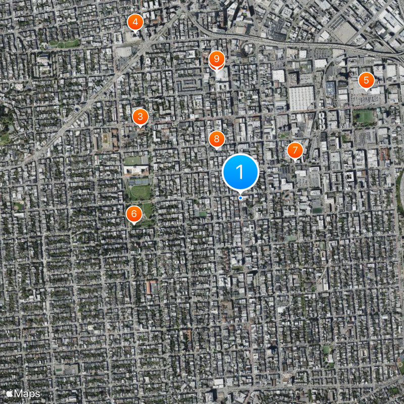
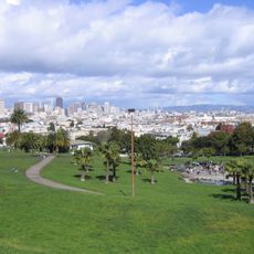
The district lies roughly 3 kilometers (2 miles) south of downtown and is easily reached by public transit. The best hours for strolling are in the morning or afternoon when shops are open and there are fewer pedestrians on the sidewalks.

Balmy Alley between 24th Street and 25th Street displays over 30 murals on both sides of the alley. Residents have allowed their homes to be painted since the 1970s, creating a continuous open-air gallery.

The community of curious travelers

AroundUs brings together thousands of curated places, local tips, and hidden gems, enriched daily by 60,000 contributors worldwide.

Start exploring
Location
Shares border with
Potrero Hill
GPS coordinates
37.75993,-122.41914
Latest update
December 13, 2025 15:39
Around this place
San Francisco Armory
United States of America

San Francisco Armory

891 m
Mission San Francisco de Asís
United States of America

Mission San Francisco de Asís

852 m
San Francisco Mint
United States of America

San Francisco Mint

1.4 km
Seals Stadium
United States of America

Seals Stadium

1.2 km
Mission Dolores Park
United States of America

Mission Dolores Park

757 m
Pioneer Building
United States of America

Pioneer Building

464 m
Clarion Alley
United States of America

Clarion Alley

379 m
Woodward's Gardens
United States of America

Woodward's Gardens

913 m
Twin Peaks Tavern
United States of America

Twin Peaks Tavern

1.4 km
The Deaf Club
United States of America

The Deaf Club

548 m
Redstone Building
United States of America

Redstone Building

617 m
Alamo Drafthouse New Mission Cinema
United States of America

Alamo Drafthouse New Mission Cinema

413 m
Cafe Du Nord
United States of America

Cafe Du Nord

1.2 km
Victoria Theatre
United States of America

Victoria Theatre

565 m
San Francisco Eagle
United States of America

San Francisco Eagle

1.2 km
California Volunteers
United States of America

California Volunteers

1.2 km
Kadist Art Foundation
United States of America

Kadist Art Foundation

432 m
Girls Club
United States of America

Girls Club

196 m
Trinity Presbyterian Church
United States of America

Trinity Presbyterian Church

744 m
Second Church of Christ, Scientist
United States of America

Second Church of Christ, Scientist

564 m
St. Matthew’s Lutheran Church
United States of America

St. Matthew’s Lutheran Church

777 m
Frank G. Edwards House
United States of America

Frank G. Edwards House

1.2 km
Maxime Leforestier's blue house
United States of America

Maxime Leforestier's blue house

903 m
Maison bleue, San Francisco
United States of America

Maison bleue, San Francisco

904 m
Cafe Flore
United States of America

Cafe Flore

1.3 km
Eureka Valley - Harvey Milk Memorial Branch Library
United States of America

Eureka Valley - Harvey Milk Memorial Branch Library

1.2 km
Castro Street Theatre
United States of America

Castro Street Theatre

1.4 km
Mission Branch Library
United States of America

Mission Branch Library

887 m
Show the full map
Reviews
Share your experience

No review yet

Discussions
Start a discussion...

No discussion yet

« Mission District - Hispanic American neighborhood in San Francisco, United States » is provided by Around Us (aroundus.com). Images and texts are derived from Wikimedia project under a Creative Commons license. You are allowed to copy, distribute, and modify copies of this page, under the conditions set by the license, as long as this note is clearly visible.

Discover hidden gems everywhere you go!

From secret cafés to breathtaking viewpoints, skip the crowded tourist spots and find places that match your style. Our app makes it easy with voice search, smart filtering, route optimization, and insider tips from travelers worldwide. Download now for the complete mobile experience.

Around Us App Screenshot

A unique approach to discovering new places

Le Figaro

All the places worth exploring

France Info

A tailor-made excursion in just a few clicks

20 Minutes

Around Us
Travel Guide & Maps
Download

Send to your phone

QR Code
1

Open the camera app on your mobile.

2

Point at the QR code with your camera. A notification will appear.

3

Tap the notification to open the link.