Chest opened
+${chestReward.xp} XP
Explorer
NOUVEAU ×${chestReward.collectible.quantity}
tapez pour fermer

See the monuments around you in AR Open chests in the app

Around Us is built for your phone — point your camera at the streets and discover the monuments and places around you in augmented reality. Around Us is built for your phone — chests unlock when you walk, explore and capture nearby places.

Enable Location

We need your location to show you interesting places around you

Discover nearby places

Find interesting locations and hidden gems around you

Precise directions

Get accurate directions and distances to places

Your location is never shared with other users. It's only used when you tap the location button.

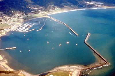
Pillar Point Harbor

Log in to your account

Start exploring — it's free

Trusted by 86,346 travelers worldwide

Continue with Google
Continue with Apple
or

We will send you a code to connect

By continuing, you accept our Terms and Conditions and our Privacy Policy

Check your inbox

We've sent a pincode in your inbox. Please enter the code below.

Pillar Point Harbor
Discussion Reviews 1 Photos
12.4k Popularity

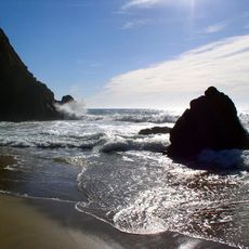
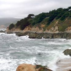
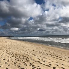
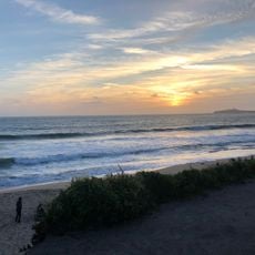
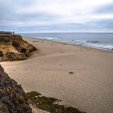
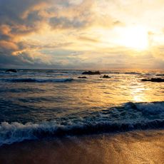
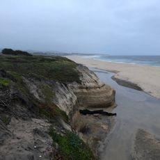
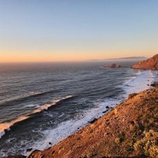
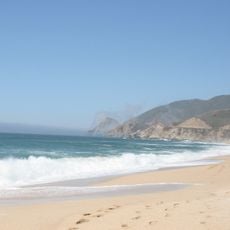
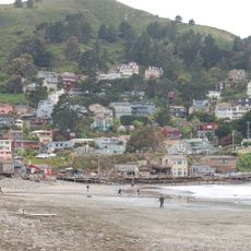
Pillar Point Harbor, Protected harbor in San Mateo County, California, US.

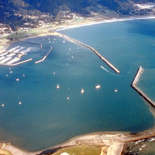
Pillar Point Harbor is a protected port at the northern end of Half Moon Bay with roughly 369 berths arranged within inner and outer breakwaters. The facility accommodates both commercial and recreational vessels at this coastal location.

The San Mateo County Harbor District was formed in 1933 and initiated breakwater construction after World War II, finishing the structures in 1961. This infrastructure created a sheltered port that enabled the local fishing operations.

The harbor functions as the heart of the fishing community and draws pleasure boaters and locals to annual celebrations along the water. These activities shape how residents and visitors experience the bay throughout the year.

Visiting boats should approach with adequate time and attention to the Harbormaster's guidance for safe entry. The best conditions for a visit are during calm weather and daylight hours when navigating the entrance is easier.

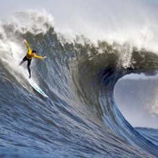
The harbor sits near Mavericks, a world-renowned surf spot where winter swells reach heights of 20 to 60 feet. This extreme wave activity makes the area a noted destination for thrill-seeking surfers.

The community of curious travelers

AroundUs brings together thousands of curated places, local tips, and hidden gems, enriched daily by 60,000 contributors worldwide.
Start exploring
Location
GPS coordinates
37.49938,-122.48803
Latest update
September 12, 2026 01:28
Around this place
Mavericks
United States of America

Mavericks

1.4 mi
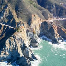
Devil's Slide
United States of America

Devil's Slide

5.5 mi
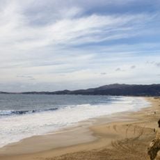
Half Moon Bay State Beach
United States of America

Half Moon Bay State Beach

2.8 mi
Gray Whale Cove State Beach
United States of America

Gray Whale Cove State Beach

4.8 mi
Moss Beach Distillery
United States of America

Moss Beach Distillery

1.9 mi
Fitzgerald Marine Reserve
United States of America

Fitzgerald Marine Reserve

1.4 mi
Montara State Beach
United States of America

Montara State Beach

3.7 mi
Point Montara Light
United States of America

Point Montara Light

3.1 mi
Poplar State Beach
United States of America

Poplar State Beach

3.9 mi
United States of America

Montara State Marine Reserve & Pillar Point State Marine Conservation Area

2.7 mi
Pedro Mountain Road
United States of America

Pedro Mountain Road

5.8 mi
Sánchez Adobe Park
United States of America

Sánchez Adobe Park

6.2 mi
Devil's Slide Trail
United States of America

Devil's Slide Trail

5.7 mi
McNee Ranch State Park
United States of America

McNee Ranch State Park

4.2 mi
James Johnston House
United States of America

James Johnston House

4.8 mi
San Pedro Valley County Park
United States of America

San Pedro Valley County Park

5.3 mi
Half Moon Bay Golf Links
United States of America

Half Moon Bay Golf Links

5.3 mi
Community United Methodist Church
United States of America

Community United Methodist Church

4.2 mi
Elmar Beach
United States of America

Elmar Beach

2.8 mi
Devils Slide Beach
United States of America

Devils Slide Beach

4.8 mi
Francis Beach
United States of America

Francis Beach

3.1 mi
Dunes Beach
United States of America

Dunes Beach

2.2 mi
Redondo Beach
United States of America

Redondo Beach

4.8 mi
Venice Beach
United States of America

Venice Beach

2.5 mi
Mateo Coast State Beaches
United States of America

Mateo Coast State Beaches

2.6 mi
Montara Beach
United States of America

Montara Beach

3.6 mi
Manhattan Beach
United States of America

Manhattan Beach

5.4 mi
San Pedro Beach
United States of America

San Pedro Beach

6.9 mi
Show the full map
Reviews
Share your experience

No review yet

Discussions
Start a discussion...

No discussion yet

« Pillar Point Harbor - Protected harbor in San Mateo County, California, US » is provided by Around Us (aroundus.com). Images and texts are derived from Wikimedia project under a Creative Commons license. You are allowed to copy, distribute, and modify copies of this page, under the conditions set by the license, as long as this note is clearly visible.

Discover hidden gems everywhere you go!

From secret cafés to breathtaking viewpoints, skip the crowded tourist spots and find places that match your style. Our app makes it easy with voice search, smart filtering, route optimization, and insider tips from travelers worldwide. Download now for the complete mobile experience.
Around Us App Screenshot

A unique approach to discovering new places

Le Figaro

All the places worth exploring

France Info

A tailor-made excursion in just a few clicks

20 Minutes

Around Us
Travel Guide & Maps
Download

Send to your phone

QR Code
1

Open the camera app on your mobile.

2

Point at the QR code with your camera. A notification will appear.

3

Tap the notification to open the link.