Enable Location

We need your location to show you interesting places around you

Discover nearby places

Find interesting locations and hidden gems around you

Precise directions

Get accurate directions and distances to places

Your location is never shared with other users. It's only used when you tap the location button.

McNee Ranch State Park

Log in to your account

Start exploring — it's free

Trusted by 61,611 travelers worldwide

Continue with Google
Continue with Apple
or

We will send you a code to connect

By continuing, you accept our Terms and Conditions and our Privacy Policy

Check your inbox

We've sent a pincode in your inbox. Please enter the code below.

McNee Ranch State Park

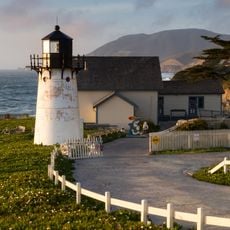
McNee Ranch State Park, State park in Montara, United States.

Description

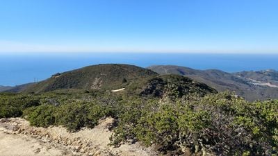
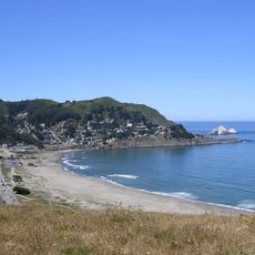
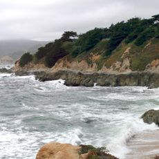
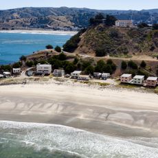
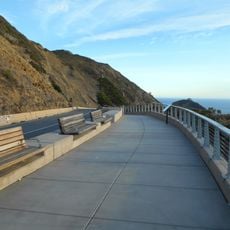
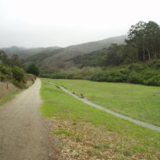
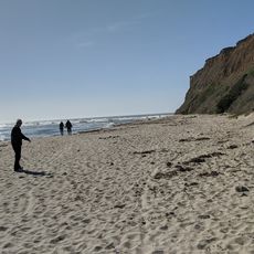
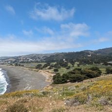
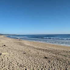
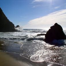
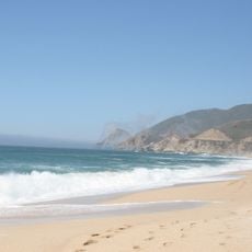
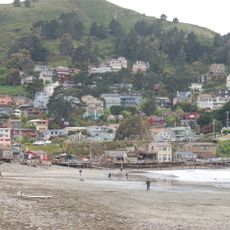
McNee Ranch State Park is a coastal reserve in California spanning about 2,700 acres with elevations reaching roughly 600 meters (1,898 feet) along mountain ridges. The land offers multiple hiking trails through dry grasslands and low scrub vegetation with views toward the Pacific Ocean.

History

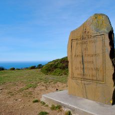
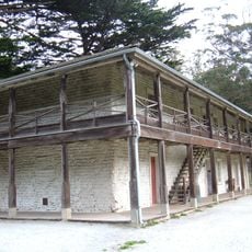
The area was originally home to Native American peoples before turning to cattle ranching in the 1800s. During World War II, the land briefly served as a training site for military commando units.

Culture

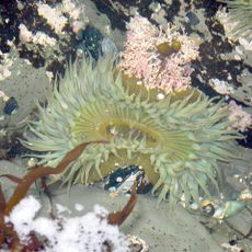
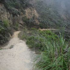
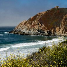
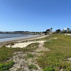
The park protects a refuge where native plants and animals thrive in their undisturbed habitat, and visitors encounter typical coastal vegetation with sage and grasses on the trails. The landscape feels wild and untamed because it has been shielded from development for many decades.

Practical

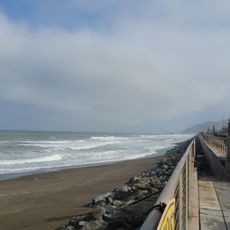
Parking areas are located at several trailheads including Martini Creek, Montara Beach, and Gray Whale Cove, making access straightforward for hikers. Spring through early summer offers the best visiting conditions when the weather is more stable and paths are dry.

Did you know?

The granitic soil of Montara Mountain creates rare growing conditions for specialized wildflowers, including endangered species found nowhere else nearby. These botanical rarities thrive in only a handful of comparable coastal regions globally.

Location
GPS coordinates
37.55860,-122.50100
Latest update
December 13, 2025 17:04

AroundUs brings together thousands of curated places, local tips, and hidden gems, enriched daily by 60,000 contributors worldwide. Discover all places nearby (California).

Around this place
Mavericks
United States of America

Mavericks

8.6 km
Devil's Slide
United States of America

Devil's Slide

2.4 km
San Andreas Lake
United States of America

San Andreas Lake

7.8 km
Gray Whale Cove State Beach
United States of America

Gray Whale Cove State Beach

1.4 km
Pacifica State Beach
United States of America

Pacifica State Beach

4.7 km
Moss Beach Distillery
United States of America

Moss Beach Distillery

4.7 km
Fitzgerald Marine Reserve
United States of America

Fitzgerald Marine Reserve

5.4 km
Montara State Beach
United States of America

Montara State Beach

1.6 km
Point Montara Light
United States of America

Point Montara Light

2.9 km
San Francisco Bay Discovery Site
United States of America

San Francisco Bay Discovery Site

6.4 km
Pacifica Pier
United States of America

Pacifica Pier

8.3 km
Shelter Cove, Pacifica, California
United States of America

Shelter Cove, Pacifica, California

4.4 km
United States of America

Montara State Marine Reserve & Pillar Point State Marine Conservation Area

6.3 km
Pedro Mountain Road
United States of America

Pedro Mountain Road

2.7 km
Sánchez Adobe Park
United States of America

Sánchez Adobe Park

3.4 km
Devil's Slide Trail
United States of America

Devil's Slide Trail

2.8 km
Gray Whale Cove State Beach
United States of America

Gray Whale Cove State Beach

1.3 km
San Pedro Valley County Park
United States of America

San Pedro Valley County Park

3.4 km
Mavericks Beach
United States of America

Mavericks Beach

7 km
Sharp Park Beach
United States of America

Sharp Park Beach

7.8 km
Naples Beach
United States of America

Naples Beach

8.8 km
Pillar Point Harbor Beach
United States of America

Pillar Point Harbor Beach

6.8 km
Devils Slide Beach
United States of America

Devils Slide Beach

1.4 km
El Granada Beach
United States of America

El Granada Beach

7 km
Montara Beach
United States of America

Montara Beach

1.8 km
Vallejo Beach
United States of America

Vallejo Beach

7.7 km
San Pedro Beach
United States of America

San Pedro Beach

4.4 km
Sharp Park Beach
United States of America

Sharp Park Beach

8.2 km
Show the full map
« McNee Ranch State Park - State park in Montara, United States » is provided by Around Us (aroundus.com). Images and texts are derived from Wikimedia project under a Creative Commons license. You are allowed to copy, distribute, and modify copies of this page, under the conditions set by the license, as long as this note is clearly visible.

Discover hidden gems everywhere you go!

From secret cafés to breathtaking viewpoints, skip the crowded tourist spots and find places that match your style. Our app makes it easy with voice search, smart filtering, route optimization, and insider tips from travelers worldwide. Download now for the complete mobile experience.

Around Us App Screenshot

A unique approach to discovering new places

Le Figaro

All the places worth exploring

France Info

A tailor-made excursion in just a few clicks

20 Minutes

Around Us
Travel Guide & Maps
Download

Send to your phone

QR Code
1

Open the camera app on your mobile.

2

Point at the QR code with your camera. A notification will appear.

3

Tap the notification to open the link.