Enable Location

We need your location to show you interesting places around you

Discover nearby places

Find interesting locations and hidden gems around you

Precise directions

Get accurate directions and distances to places

Your location is never shared with other users. It's only used when you tap the location button.

Cholame

Log in to your account

Start exploring — it's free

Trusted by 68,165 travelers worldwide

Continue with Google
Continue with Apple
or

We will send you a code to connect

By continuing, you accept our Terms and Conditions and our Privacy Policy

Check your inbox

We've sent a pincode in your inbox. Please enter the code below.

Discussion Reviews 1 Photos
32.9k Popularity

Cholame, Unincorporated community in San Luis Obispo County, California.

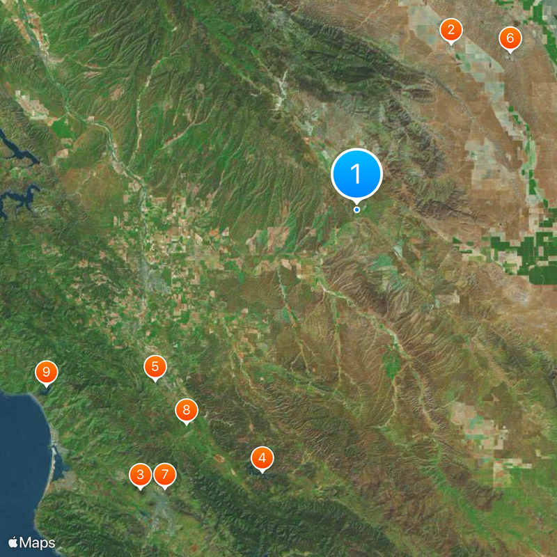
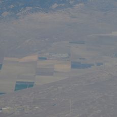
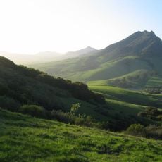
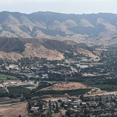
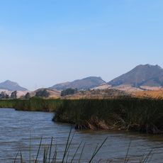
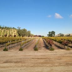
Cholame is an unincorporated community in San Luis Obispo County situated at an elevation of about 353 meters (1,158 feet) near the San Andreas Fault. The area spreads across ranch lands and agricultural fields that define the local landscape.

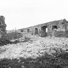
The Mexican government granted Rancho Cholame as a land grant in 1844, and the property later came under private ownership and development. The rise of cattle ranching and wool production shaped the economic direction of the area.

The place emerged from a Salinian Indian settlement and grew into a ranching community centered on cattle and wool. Today, agricultural work and ranch life remain visible in how the land is used and organized.

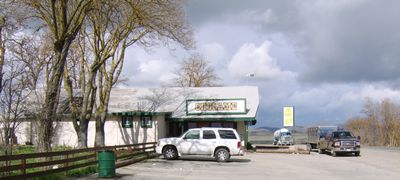
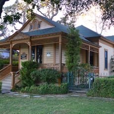
State Route 41 runs through Cholame and provides the main access point for the area. The Jack Ranch Cafe serves as a recognizable stop for those passing through the region.

A memorial near Jack Ranch Cafe marks the spot of actor James Dean's fatal car crash in 1955. The location has become known to visitors largely because of this tragic historical event.

The community of curious travelers

AroundUs brings together thousands of curated places, local tips, and hidden gems, enriched daily by 60,000 contributors worldwide.

Start exploring
Elevation above the sea
353 m
GPS coordinates
35.72389,-120.29556
Latest update
December 20, 2025 00:02
Around this place
Avenal State Prison
United States of America

Avenal State Prison

32.1 km
Bishop Peak
United States of America

Bishop Peak

59.4 km
Santa Margarita Lake
United States of America

Santa Margarita Lake

46.9 km
Charles Paddock Zoo
United States of America

Charles Paddock Zoo

44.4 km
Kettleman Hills Hazardous Waste Facility
United States of America

Kettleman Hills Hazardous Waste Facility

37 km
The "P"
United States of America

The "P"

56.9 km
Santa Margarita de Cortona Asistencia
United States of America

Santa Margarita de Cortona Asistencia

46 km
Whale Rock Reservoir
United States of America

Whale Rock Reservoir

60 km
Carlton Hotel
United States of America

Carlton Hotel

42.8 km
Chumash Peak
United States of America

Chumash Peak

59.6 km
Robert Jack House
United States of America

Robert Jack House

59.9 km
Rios-Caledonia Adobe
United States of America

Rios-Caledonia Adobe

36.5 km
San Luis Obispo Railroad Museum
United States of America

San Luis Obispo Railroad Museum

59.8 km
San Luis Obispo Botanical Garden
United States of America

San Luis Obispo Botanical Garden

57.5 km
Leaning Pine Arboretum
United States of America

Leaning Pine Arboretum

56.8 km
Dallidet Adobe
United States of America

Dallidet Adobe

59.2 km
San Luis Obispo Carnegie Library
United States of America

San Luis Obispo Carnegie Library

59.6 km
Estrella Adobe Church
United States of America

Estrella Adobe Church

31.6 km
Paso Robles Carnegie Library
United States of America

Paso Robles Carnegie Library

37.2 km
The Powerhouse
United States of America

The Powerhouse

57.8 km
Bank of Italy
United States of America

Bank of Italy

37.2 km
Myron Angel House
United States of America

Myron Angel House

59.9 km
United States of America

Parkfield Interventional EQ Fieldwork

23.2 km
Atascadero Administration Building
United States of America

Atascadero Administration Building

42.6 km
William Shipsey House
United States of America

William Shipsey House

58.3 km
Franklin Hot Springs
United States of America

Franklin Hot Springs

34.8 km
Sculpterra Winery and Sculpture Garden
United States of America

Sculpterra Winery and Sculpture Garden

31.6 km
Call-Booth House
United States of America

Call-Booth House

37.8 km
Show the full map
Reviews
Share your experience

No review yet

Discussions
Start a discussion...

No discussion yet

« Cholame - Unincorporated community in San Luis Obispo County, California » is provided by Around Us (aroundus.com). Images and texts are derived from Wikimedia project under a Creative Commons license. You are allowed to copy, distribute, and modify copies of this page, under the conditions set by the license, as long as this note is clearly visible.

Discover hidden gems everywhere you go!

From secret cafés to breathtaking viewpoints, skip the crowded tourist spots and find places that match your style. Our app makes it easy with voice search, smart filtering, route optimization, and insider tips from travelers worldwide. Download now for the complete mobile experience.

Around Us App Screenshot

A unique approach to discovering new places

Le Figaro

All the places worth exploring

France Info

A tailor-made excursion in just a few clicks

20 Minutes

Around Us
Travel Guide & Maps
Download

Send to your phone

QR Code
1

Open the camera app on your mobile.

2

Point at the QR code with your camera. A notification will appear.

3

Tap the notification to open the link.