Alta California, Colonial territory in Western North America, US
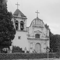
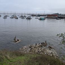
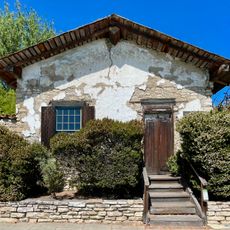
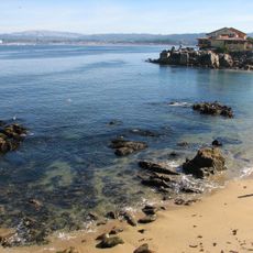
Alta California was a territory in western North America that stretched from the present northern border of California to Baja California, covering wide Pacific coastal areas and inland regions. The territory roughly matched the area of the modern US state of California and was connected by a chain of mission stations along the Camino Real.
The territory changed from Spanish to Mexican rule in 1821 after Mexico gained independence from Spain. The United States took control in 1848 following the Mexican-American War through the Treaty of Guadalupe Hidalgo.
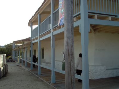
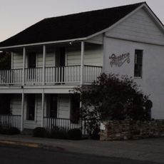
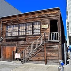
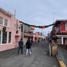
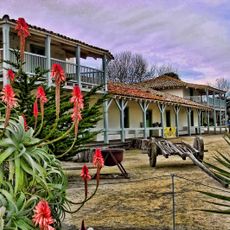
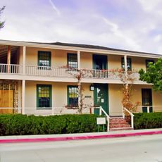
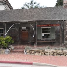
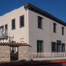
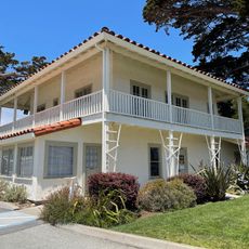
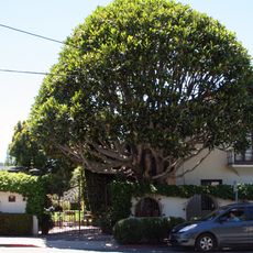
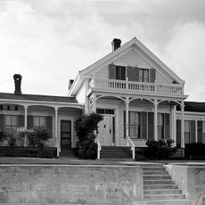
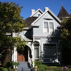
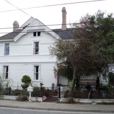
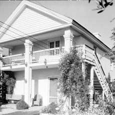
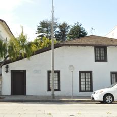
The name comes from Spanish and means Upper California, referring to its position north of Baja California. Travelers today can still find traces of mission stations and ranchos in modern Californian cities, where old buildings and street names recall this period.
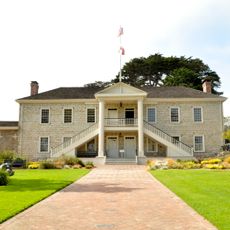
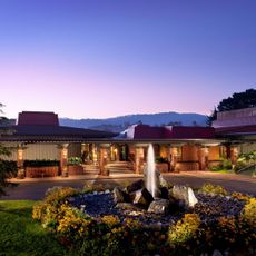
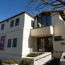
Visitors can explore historical sites along the former boundaries of the territory, which now run through several Californian cities and landscapes. Many of the original mission stations are still preserved and open for visits.
The population remained very small until the gold discovery in 1848 at Sutter's Mill, consisting mainly of missionaries, soldiers, and native communities. Within a few years, the gold rush transformed the thinly populated land into one of the fastest-growing regions in North America.
The community of curious travelers
AroundUs brings together thousands of curated places, local tips, and hidden gems, enriched daily by 60,000 contributors worldwide.