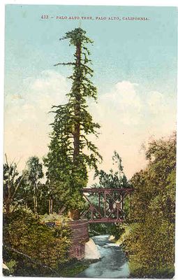
San Francisquito Creek, Creek between Santa Clara and San Mateo Counties, United States.
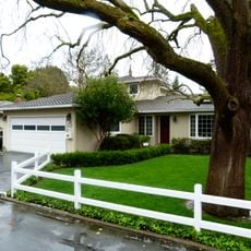
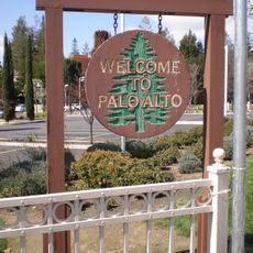
San Francisquito Creek is a river that winds through several communities in the San Francisco Bay Area, flowing from the hills toward the bay. It connects Portola Valley, Woodside, Menlo Park, Palo Alto, and East Palo Alto, creating a natural corridor through the landscape.
The river was charted in 1769 by Spanish explorer Don Gaspar de Portolà, who established a camp on its banks marking early European presence in the region. Indigenous peoples had long inhabited the area before European exploration reshaped the landscape.
The Ohlone people lived along these banks for generations, relying on the water and surrounding lands for their daily needs. Their presence shaped how the region developed and remains visible in local place names and community traditions today.
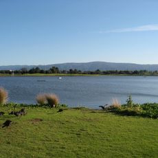
Walking and cycling paths line the river, allowing visitors to move through multiple communities and explore different sections. Access is best during daylight hours when the routes are most accessible and visible.
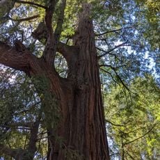
The river harbors one of the last populations of anadromous steelhead trout in southern San Francisco Bay streams, a rare population persisting against modern obstacles. These fish undertake a remarkable migration between the ocean and freshwater creeks.
The community of curious travelers
AroundUs brings together thousands of curated places, local tips, and hidden gems, enriched daily by 60,000 contributors worldwide.