Enable Location

We need your location to show you interesting places around you

Discover nearby places

Find interesting locations and hidden gems around you

Precise directions

Get accurate directions and distances to places

Your location is never shared with other users. It's only used when you tap the location button.

Potrero Point

Log in to your account

Start exploring — it's free

Trusted by 62,843 travelers worldwide

Continue with Google
Continue with Apple
or

We will send you a code to connect

By continuing, you accept our Terms and Conditions and our Privacy Policy

Check your inbox

We've sent a pincode in your inbox. Please enter the code below.

Potrero Point

Potrero Point, Industrial region in San Francisco, US

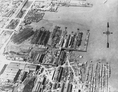
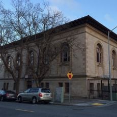
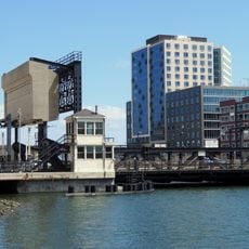
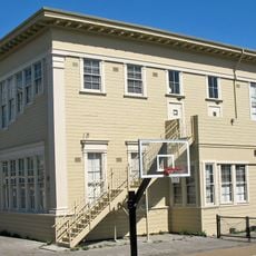
Potrero Point is an industrial region in San Francisco that extends into Mission Bay and features deep water access created through rock blasting of nearby cliffs. The flat terrain made it suitable for shipbuilding and heavy manufacturing operations.

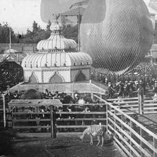
The area took shape in the 1840s when Peter Donahue established a major iron works and shipbuilding operation. It became the region's leading industrial center during the World Wars, when wartime demand drove expansion and employment.

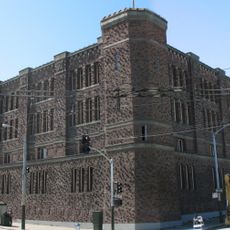
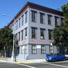
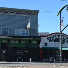
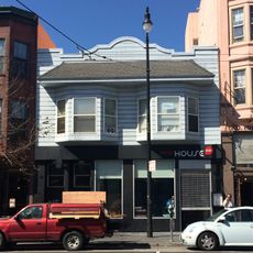
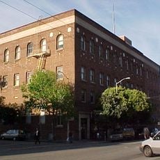
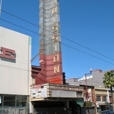
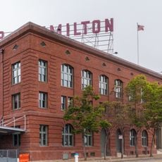
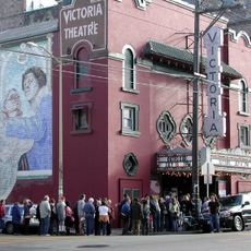
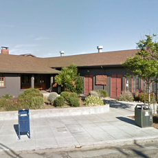
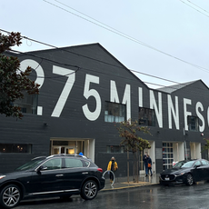
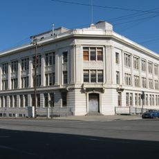
This area grew from grazing land into a manufacturing center that shaped San Francisco's working identity. Visitors can still sense this industrial past in the buildings and structures that remain.

The area connects to multiple transport networks and is accessible by various routes. Visitors should allow time to explore the waterfront and surrounding streets where many industrial buildings still stand.

This location housed California's first electrical power generating station, which powered San Francisco in its early electrical era. The station played a key role in bringing modern energy to the city and supporting industrial growth.

The community of curious travelers

AroundUs brings together thousands of curated places, local tips, and hidden gems, enriched daily by 60,000 contributors worldwide.

Start exploring
Location
GPS coordinates
37.75690,-122.40000
Latest update
December 10, 2025 20:09
Around this place
San Francisco Armory
United States of America

San Francisco Armory

2.2 km
Seals Stadium
United States of America

Seals Stadium

1.4 km
Pioneer Building
United States of America

Pioneer Building

1.4 km
Clarion Alley
United States of America

Clarion Alley

2 km
Woodward's Gardens
United States of America

Woodward's Gardens

2.2 km
Sam Jordan's Bar
United States of America

Sam Jordan's Bar

2 km
Bernal Heights Summit
United States of America

Bernal Heights Summit

2.1 km
Bottom of the Hill
United States of America

Bottom of the Hill

978 m
The Deaf Club
United States of America

The Deaf Club

2.1 km
Redstone Building
United States of America

Redstone Building

1.8 km
Alamo Drafthouse New Mission Cinema
United States of America

Alamo Drafthouse New Mission Cinema

1.7 km
Baker and Hamilton Building
United States of America

Baker and Hamilton Building

1.6 km
United States of America

Prelinger Library

2.1 km
Victoria Theatre
United States of America

Victoria Theatre

1.9 km
San Francisco Eagle
United States of America

San Francisco Eagle

1.9 km
Kadist Art Foundation
United States of America

Kadist Art Foundation

1.3 km
Institute of Contemporary Art San Francisco
United States of America

Institute of Contemporary Art San Francisco

931 m
Potrero Hill Neighborhood House
United States of America

Potrero Hill Neighborhood House

172 m
Minnesota Street Project
United States of America

Minnesota Street Project

939 m
St. Joseph's Church and Complex
United States of America

St. Joseph's Church and Complex

2.2 km
Building 101
United States of America

Building 101

1.2 km
Girls Club
United States of America

Girls Club

1.6 km
Trinity Presbyterian Church
United States of America

Trinity Presbyterian Church

1.8 km
Frank G. Edwards House
United States of America

Frank G. Edwards House

2.2 km
Mission Bay Branch Library
United States of America

Mission Bay Branch Library

2.1 km
Mission Branch Library
United States of America

Mission Branch Library

1.8 km
4th Street bridge
United States of America

4th Street bridge

2.1 km
Irving Murray Scott School
United States of America

Irving Murray Scott School

948 m
Show the full map
« Potrero Point - Industrial region in San Francisco, US » is provided by Around Us (aroundus.com). Images and texts are derived from Wikimedia project under a Creative Commons license. You are allowed to copy, distribute, and modify copies of this page, under the conditions set by the license, as long as this note is clearly visible.

Discover hidden gems everywhere you go!

From secret cafés to breathtaking viewpoints, skip the crowded tourist spots and find places that match your style. Our app makes it easy with voice search, smart filtering, route optimization, and insider tips from travelers worldwide. Download now for the complete mobile experience.

Around Us App Screenshot

A unique approach to discovering new places

Le Figaro

All the places worth exploring

France Info

A tailor-made excursion in just a few clicks

20 Minutes

Around Us
Travel Guide & Maps
Download

Send to your phone

QR Code
1

Open the camera app on your mobile.

2

Point at the QR code with your camera. A notification will appear.

3

Tap the notification to open the link.