
Thors Hammer, mountain in Lane County, Oregon, United States
Location: Lane County
Elevation above the sea: 997 m
GPS coordinates: 44.13037,-122.32595
Latest update: May 9, 2025 14:28
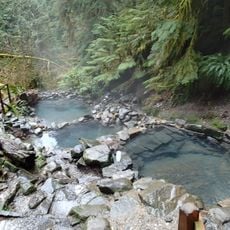
Cougar Hot Springs
9.4 km
Willamette National Forest
24.6 km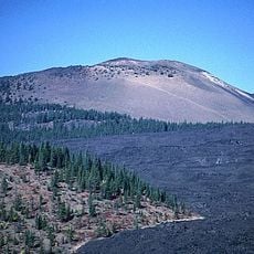
Belknap Crater
42.2 km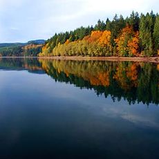
Foster Reservoir
41.9 km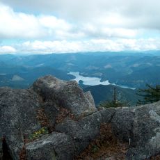
Green Peter Reservoir
39.9 km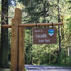
Cascadia State Park
32 km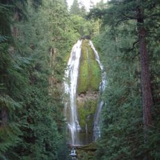
Proxy Falls
32 km
Oregon Route 242
41.1 km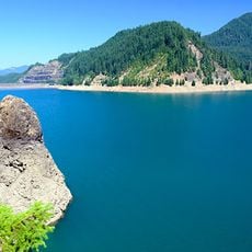
Cougar Reservoir
7.1 km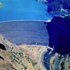
Cougar Dam
6.9 km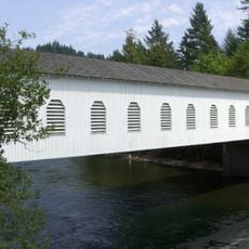
Goodpasture Bridge
21 km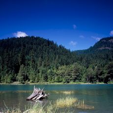
Lookout Point Lake
41.3 km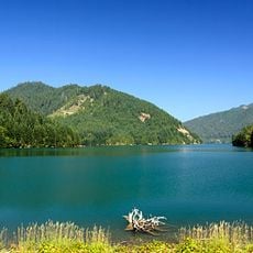
Blue River Reservoir
4.7 km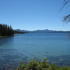
Waldo Lake Wilderness
42.1 km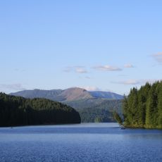
Green Peter Dam
39.8 km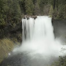
Koosah Falls
35.2 km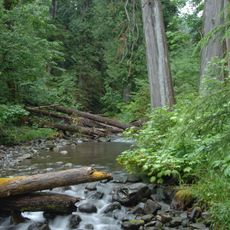
Andrews Forest LTER
10.7 km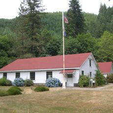
Old McKenzie Fish Hatchery
22.7 km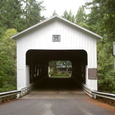
Belknap Bridge
8.9 km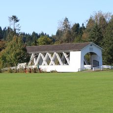
Weddle Bridge
43.4 km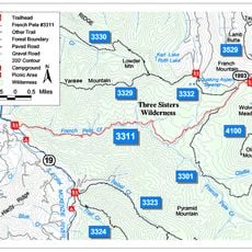
French Pete Trail
13.8 km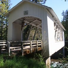
Short Bridge
32.6 km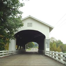
Unity Bridge
41.3 km
Collier Glacier
43.4 km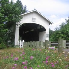
Wendling Bridge
38.4 km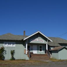
Lowell Grange
43.3 km
Earnest Bridge
41.5 km
Tamolitch Blue Pool
31.3 kmReviews
Visited this place? Tap the stars to rate it and share your experience / photos with the community! Try now! You can cancel it anytime.
Discover hidden gems everywhere you go!
From secret cafés to breathtaking viewpoints, skip the crowded tourist spots and find places that match your style. Our app makes it easy with voice search, smart filtering, route optimization, and insider tips from travelers worldwide. Download now for the complete mobile experience.

A unique approach to discovering new places❞
— Le Figaro
All the places worth exploring❞
— France Info
A tailor-made excursion in just a few clicks❞
— 20 Minutes